Downtown in Cleveland in Cuyahoga County, Ohio — The American Midwest (Great Lakes)
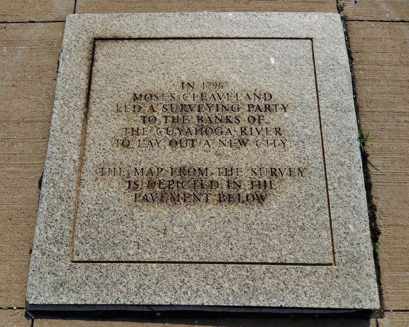
Moses Cleaveland Survey
Moses Cleaveland
led a surveying party
to the banks of
the Cuyahoga River
to lay out a new city.
The map from the survey
is depicted in the
pavement below.
Topics. This historical marker is listed in these topic lists: Exploration • Settlements & Settlers • Waterways & Vessels. A significant historical year for this entry is 1796.
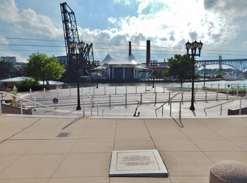
Location. 41° 29.806′ N, 81° 42.032′ W. Marker is in Cleveland, Ohio, in Cuyahoga County. It is in Downtown. Marker can be reached from the intersection of Robert Lockwood Jr Drive and West Superior Avenue, on the right when traveling south. Marker is embedded in the walkway on the east side of Settler's Landing Park. Touch for map. Marker is in this post office area: Cleveland OH 44113, United States of America. Touch for directions.
Other nearby markers. At least 8 other markers are within walking distance of this marker. Moses Cleaveland’s “Capital Town” (within shouting distance of this marker); John D. Rockefeller, 1839-1937 / The Standard Oil Company (within shouting distance of this marker); Industrialists & Early Skyscrapers (about 400 feet away, measured in a direct line); Rockefeller Building (about 400 feet away); Ohio and Erie Canal (about 600 feet away); Alexis de Tocqueville (about 700 feet away); Hardware Industry (approx. 0.2 miles away); William Bingham (approx. 0.2 miles away). Touch for a list and map of all markers in Cleveland.
Related markers. Click here for a list of markers that are related to this marker. Moses Cleaveland
Also see . . . Moses Cleaveland.
Moses was a shareholder in the Connecticut Land Company which purchased land in the Western Reserve, or New Connecticut. This involvement led Moses Cleaveland on an expedition into the Ohio wilderness. He was responsible for surveying the land as well as negotiating land rights with the Indians living there. On July 22, 1796, Moses arrived at the mouth of the Cuyahoga River and decided that the land just to the east of it would be the capital of the new territory. His surveyors laid out a town, including a 9-1/2-acre Public Square, on the high bluffs overlooking Lake Erie and the winding Cuyahoga.(Submitted on February 24, 2022, by Cosmos Mariner of Cape Canaveral, Florida.)
Credits. This page was last revised on February 4, 2023. It was originally submitted on February 23, 2022, by Cosmos Mariner of Cape Canaveral, Florida. This page has been viewed 185 times since then and 23 times this year. Photos: 1, 2. submitted on February 24, 2022, by Cosmos Mariner of Cape Canaveral, Florida.

