Muskogee in Muskogee County, Oklahoma — The American South (West South Central)
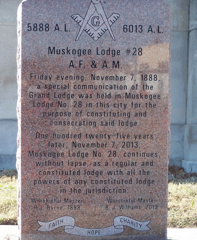
Muskogee Lodge #28
A.F. & A.M.
Friday evening, November 7, 1888, a special communication of the Grand Lodge was held in Muskogee Lodge No. 28 in this city for the purpose of constituting and consecrating said lodge.
One hundred twenty-five years later, November 7, 2013, Muskogee Lodge No. 28, continues, without lapse, as a regular and constituted lodge with all the powers of any constituted lodge in the jurisdiction.
Worshipful Master P.J. Byrne, 1888
Worshipful Master B.J. Williams, 2013
Faith Hope Charity
Erected 2013.
Topics. This historical marker is listed in these topic lists: Agriculture • Churches & Religion • Notable Buildings. A significant historical date for this entry is November 7, 1888.
Location. 35° 44.969′ N, 95° 22.582′ W. Marker is in Muskogee, Oklahoma, in Muskogee County. Marker is on South 6th Street West north of Boston Street, on the right when traveling south. Touch for map. Marker is at or near this postal address: 121 S 6th Street West, Muskogee OK 74401, United States of America. Touch for directions.
Other nearby markers. At least 8 other markers are within 3 miles of this marker, measured as the crow flies. Masonic Temple (here, next to this marker); Okie from Muskogee (approx. 0.3 miles away); Hitching Post Stone (approx. 0.3 miles away); Midland Valley Station (approx. 0.3 miles away); Severs Block (approx. 0.4 miles away); Thomas-Foreman House (approx. 0.7 miles away); State's Earliest Oil Refinery (approx. 2.1 miles away); World War Memorial (approx. 2.4 miles away). Touch for a list and map of all markers in Muskogee.
Credits. This page was last revised on February 24, 2022. It was originally submitted on February 23, 2022, by Jason Armstrong of Talihina, Oklahoma. This page has been viewed 172 times since then and 34 times this year. Photo 1. submitted on February 23, 2022, by Jason Armstrong of Talihina, Oklahoma. • J. Makali Bruton was the editor who published this page.
Editor’s want-list for this marker. A wide view photo of the marker and the surrounding area, including the masonic temple, in context. • Can you help?
