Downtown in Cleveland in Cuyahoga County, Ohio — The American Midwest (Great Lakes)
Since 1775
The Nation's Industrial Might
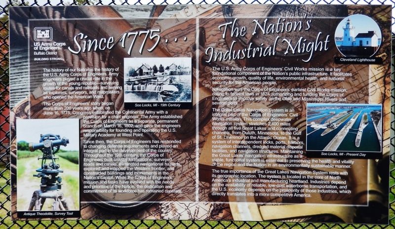
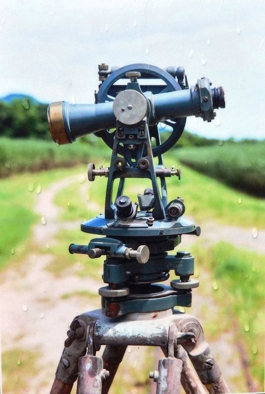
The history of our Nation is the history of the U.S. Army Corps of Engineers. Army engineers played a crucial role in the growth of the young republic — surveying routes for canals and railroads and serving as explorers, surveyors, and mapmakers who opened the American West.
The Corps of Engineers' story began more than 200 years ago when, on June 16, 1775, Congress established the Continental Army with a provision for a chief engineer. The Army established the Corps of Engineers as a separate, permanent branch on March 16, 1802, and gave the engineers responsibility for founding and operating the U.S. Military Academy at West Point.
Since then, the Corps of Engineers has responded to changing defense requirements and played an integral part in the development of the country. Throughout the 19th century, the Corps of Engineers built coastal fortifications, surveyed roads and canals, eliminated navigational hazards, explored and mapped the Western frontier, and constructed buildings and monuments in the Nation's capital. While the Corps of Engineers' mission and tasks have evolved with the needs and priorities of the Nation, the dedication and commitment of its workforce has remained constant.
The U.S. Army Corps of Engineers' Civil Works mission is a key foundational component of the Nation's public infrastructure. It facilitates economic growth, quality of life, environmental health, and national security for the American people.
Navigation was the Corps of Engineers' earliest Civil Works mission, dating to federal laws in 1824 authorizing and funding the Corps of Engineers to improve safety on the Ohio and Mississippi Rivers and several ports.
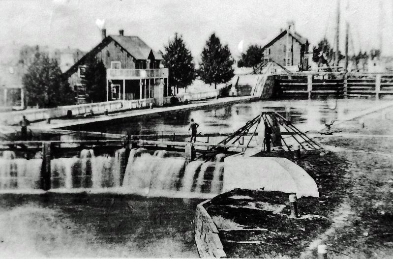
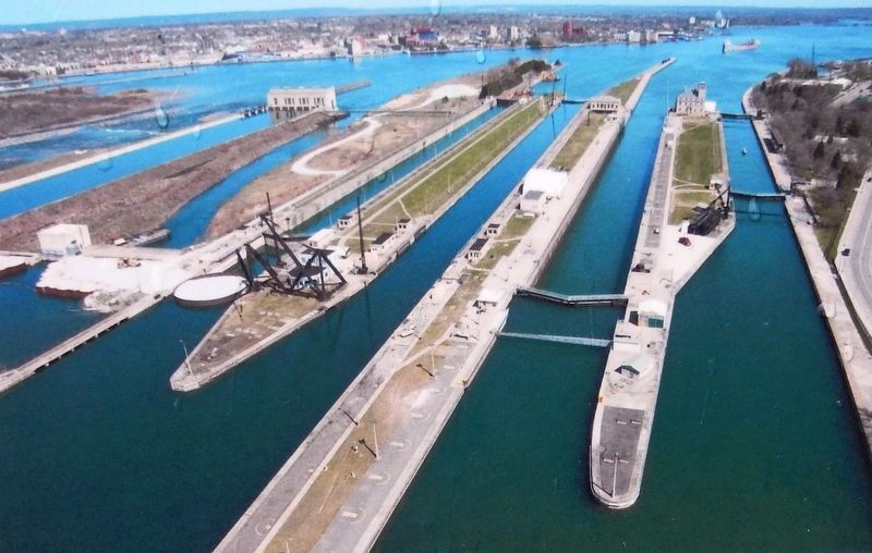
The Great Lakes Navigation System is an integral part of the Corps of Engineers' Civil Works mission. This complex deepwater navigation system stretches 2,400 miles through all five Great Lakes and connecting channels, from Duluth, Minnesota, to the Gulf of St. Lawrence on the Atlantic Ocean. It is a system of interdependent locks, ports, harbors, navigation channels, dredged material disposal facilities, and navigation structures. Maintaining the Great Lakes' navigation infrastructure as a viable, functional system is essential to preserving the health and vitality of the region and the Nation in an environmentally sustainable manner.
The true importance of the Great Lakes Navigation System rests with its geographic location. The system is located in the core of North America's industrial and manufacturing heartland. Industries depend on the availability of reliable, low-cost waterborne transportation, and the U.S. economy depends on the prosperity of those industries, which directly translates into a more competitive America.
Erected by US Army Corps of Engineers, Buffalo District.
Topics. This historical marker is listed in these topic lists: Industry & Commerce • Railroads & Streetcars • Roads & Vehicles • Waterways & Vessels. A significant historical date for this entry is June 17, 1775.
Location. 41° 30.577′ N, 81° 41.694′ W. Marker is in Cleveland, Ohio, in Cuyahoga County. It is in Downtown. Marker is on East 9th Street, 0.1 miles north of Erieside Avenue (North Marginal Road), on the right when traveling north. Marker is mounted on the US Army Corps of Engineers Buffalo District Office perimeter fence. Touch for map. Marker is at or near this postal address: 1035 East 9th Street, Cleveland OH 44114, United States of America. Touch for directions.
Other nearby markers. At least 8 other markers are within walking distance of this marker. Moses Cleaveland (here, next to this marker); Building Strong for Cleveland (a few steps from this marker); Birthplace of Rock 'n' Roll (about 400 feet away, measured in a direct line); Rear Admiral Isaac C. Kidd (about 500 feet away); Arch C. Klumph (about 700 feet away); Dennis Donahue (approx. 0.3 miles away); Casimir Pulaski (approx. 0.3 miles away); Carl Burton Stokes (1927-1996) / Cleveland's Mayor Stokes (approx. 0.3 miles away). Touch for a list and map of all markers in Cleveland.
Also see . . . United States Army Corps of Engineers (USACE). Wikipedia entry:
An engineer formation of the United States Army that has three primary mission areas: Engineer Regiment, military construction, and civil works. Army civil works consists of three congressionally authorized business lines: navigation, flood and storm damage protection, and aquatic ecosystem restoration. Civil works is also tasked with administering the Clean Water Act Section 404 program, recreation, hydropower, and water supply at USACE flood control reservoirs, and environmental infrastructure. The civil works staff oversees construction, operation, and maintenance of dams, canals and flood protection in the U.S., as well as a wide range of public works throughout the world.(Submitted on February 24, 2022, by Cosmos Mariner of Cape Canaveral, Florida.)
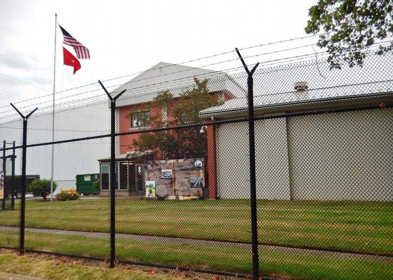
Photographed By Cosmos Mariner, June 18, 2021
5. Since 1775 Marker
Great Lakes Navigation System
US Army Corps of Engineers Detroit District website entry
Click for more information.
Credits. This page was last revised on February 4, 2023. It was originally submitted on February 24, 2022, by Cosmos Mariner of Cape Canaveral, Florida. This page has been viewed 104 times since then and 8 times this year. Photos: 1, 2, 3, 4, 5. submitted on February 24, 2022, by Cosmos Mariner of Cape Canaveral, Florida.
