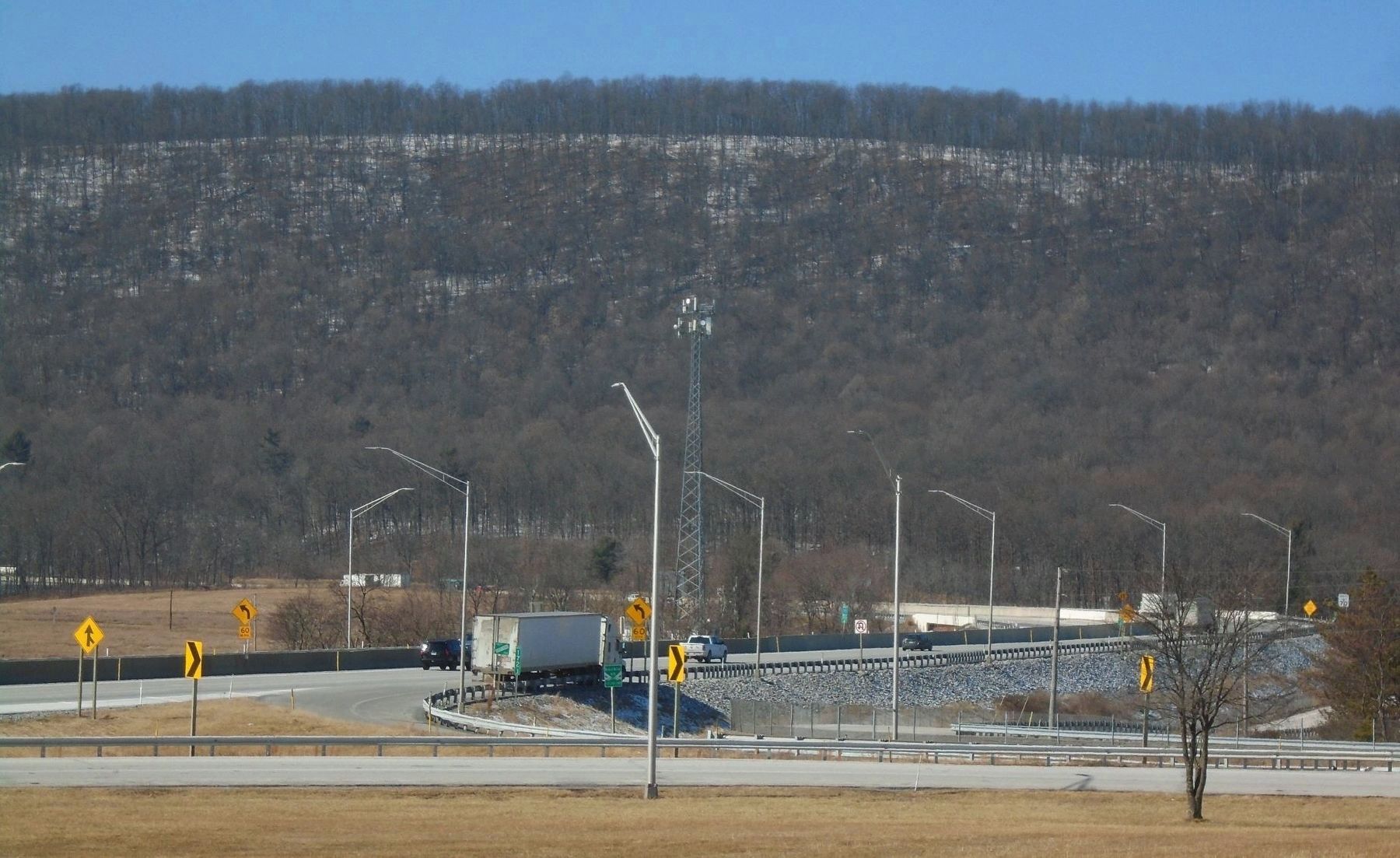
Near Waterfall in Fulton County, Pennsylvania — The American Northeast (Mid-Atlantic)
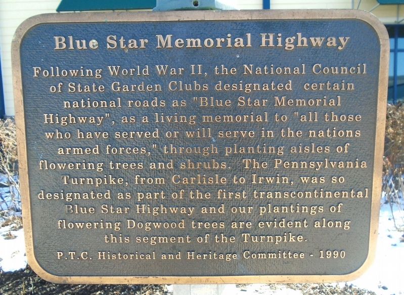
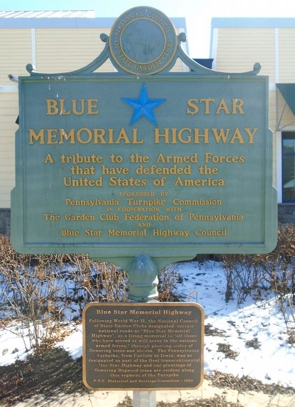
Blue Star Memorial Highway
Following World War II, the National Council of State Garden Clubs designated certain national roads as "Blue Star Memorial Highway", as a living memorial to "all those who have served or will serve in the nation's armed forces," through planting aisles of flowering trees and shrubs. The Pennsylvania Turnpike from Carlisle to Irwin was so designated as part of the first transcontinental Blue Star Highway and our plantings of flowering Dogwood trees are evident along this segment of the Turnpike.
Erected 1990 by Pennsylvania Turnpike Commission and The Garden Club Federation of Pennsylvania.
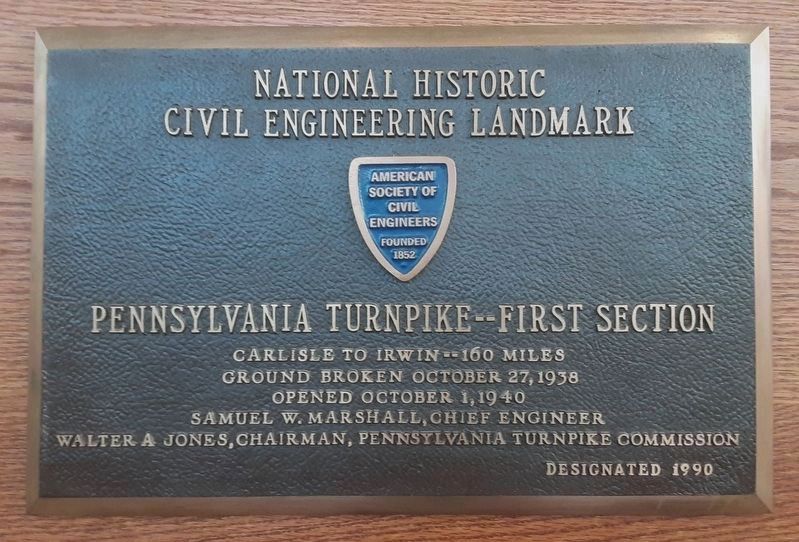
Topics and series. This memorial is listed in these topic lists: Horticulture & Forestry • Patriots & Patriotism • Roads & Vehicles. In addition, it is included in the ASCE Civil Engineering Landmarks series list.
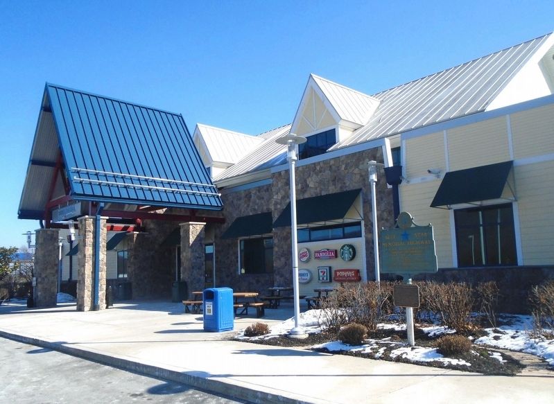
Location. 40° 3.518′ N, 78° 4.931′ W. Marker is near Waterfall, Pennsylvania, in Fulton County. Marker is adjacent to the Sideling Hill Service Plaza comfort station, only publicly accessible from the Pennsylvania Turnpike (Interstate 76, Milepost 172.2). Touch for map. Marker is at or near this postal address: 3744 North Hess Road, Waterfall PA 16689, United States of America. Touch for directions.
Other nearby markers. At least 8 other markers are within 10 miles of this marker, measured as the crow flies. Fort Littleton (approx. 6.4 miles away); Military Convoys (approx. 9 miles away); The Pennsylvania Turnpike (approx. 9 miles away); Burnt Cabins (approx. 9.6 miles away); McConnellsburg (approx. 9.6 miles away); Forbes Road (approx. 9.6 miles away); 200 Lincoln Way West (approx. 9.7 miles away); George Diven (approx. 9.7 miles away).
Credits. This page was last revised on March 1, 2022. It was originally submitted on February 24, 2022, by William Fischer, Jr. of Scranton, Pennsylvania. This page has been viewed 283 times since then and 35 times this year. Photos: 1, 2, 3. submitted on February 24, 2022, by William Fischer, Jr. of Scranton, Pennsylvania. 4. submitted on March 1, 2022, by William Fischer, Jr. of Scranton, Pennsylvania. 5. submitted on February 24, 2022, by William Fischer, Jr. of Scranton, Pennsylvania.
