Ashland City in Cheatham County, Tennessee — The American South (East South Central)
J.W. Johns, Jr. Park
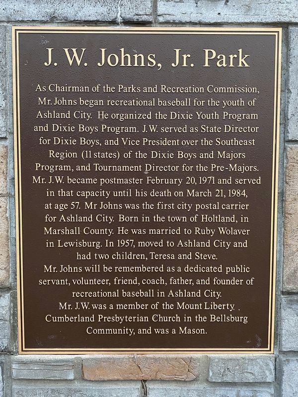
Photographed by Darren Jefferson Clay, February 26, 2022
1. J.W. Johns, Jr. Park Marker
Topics. This historical marker is listed in these topic lists: Charity & Public Work • Parks & Recreational Areas • Sports.
Location. 36° 16.54′ N,
this page online

Regionally, this marker is in Middle Tennessee, in the Highland Rim, and in Greater Nashville. It is also in the American South and specifically in the Upper South. Globally, it is in North America, the Western Hemisphere, the Western World, and the Anglosphere. Historically, it finds itself in what was once the territory of the Mississippian Culture, one of the Confederate States of America, and the Antebellum South.
Other nearby markers. At least 8 other markers are within 9 miles of this marker, measured as the crow flies: Thomas Jefferson Stump (within shouting distance of this marker); Cheatham County Courthouse (approx. 0.2 miles away); Braxton Lee Homestead (approx. 1.1 miles away); Sycamore Mill (approx. 3.2 miles away); Harpeth Shoals (approx. 5.2 miles away); Neptune (approx. 7½ miles away);
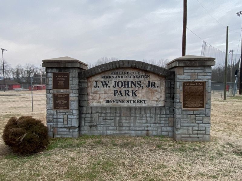
Photographed by Darren Jefferson Clay, February 26, 2022
2. J.W. Johns, Jr. Park Marker
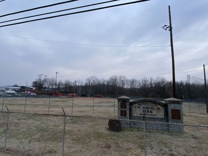
Photographed by Darren Jefferson Clay, February 26, 2022
3. J.W. Johns, Jr. Park Marker
Credits. This page was last revised on March 2, 2022. It was originally submitted on February 26, 2022, by Darren Jefferson Clay of Duluth, Georgia. This page has been viewed 517 times since then and 63 times this year. Photos: 1, 2, 3. submitted on February 26, 2022, by Darren Jefferson Clay of Duluth, Georgia. • J. Makali Bruton was the editor who published this page.
