Logan Square in Philadelphia in Philadelphia County, Pennsylvania — The American Northeast (Mid-Atlantic)
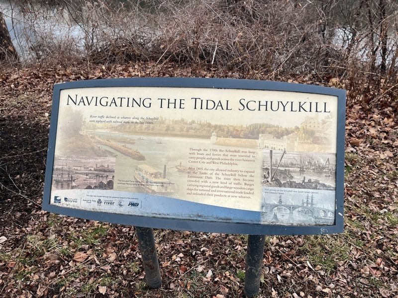
Navigating the Tidal Schuylkill

Photographed By Devry Becker Jones (CC0), February 25, 2022
1. Navigating the Tidal Schuylkill Marker
Throughout the 1700s the Schuylkill was busy with boats and ferries that were essential to carry people and goods across the river between Center City and West Philadelphia.
After 1805, the city allowed industry to expand to the banks of the Schuylkill below the Fairmount Dam. The river then became crowded with a new kind of traffic. Barges carrying regional goods and large wooden cargo ships for national and international trade loaded and unloaded their products at new wharves.
[Captions:]
River traffic declined as wharves along the Schuylkill were replaced with railroad tracks in the late 1880s.
The Schuylkill Canal was built in 1825 to bring anthracite coal from northeast Pennsylvania, bringing even more river traffic.
Erected by Fairmount Park Conservancy; Schuylkill Banks.
Topics. This historical marker is listed in these topic lists: Industry & Commerce • Railroads & Streetcars • Waterways & Vessels. A significant historical year for this entry is 1805.
Location. 39° 57.812′ N, 75° 10.902′ W. Marker is in Philadelphia, Pennsylvania, in Philadelphia County. It is in Logan Square. Marker is on Schuylkill River Trail south of Martin Luther King Jr. Drive, on the right when traveling south. Touch for map. Marker is at or near this postal address: 10 Schuylkill River Trail, Philadelphia PA 19131, United States of America. Touch for directions.
Other nearby markers. At least 8 other markers are within walking distance of this marker. Spring Garden Street Bridge (within shouting distance of this marker); Anthony Wayne (about 500 feet away, measured in a direct line); Useful & Beautiful / Timeline (about 500 feet away); From Trash to Treasure (about 500 feet away); South Garden (about 700 feet away); Phillips Fountain (about 800 feet away); The One Hundred Fiftieth Anniversary of the Signing of the Constitution of the United States (about 800 feet away); The Philadelphia Civic Flag (about 800 feet away). Touch for a list and map of all markers in Philadelphia.

Photographed By Devry Becker Jones (CC0), February 25, 2022
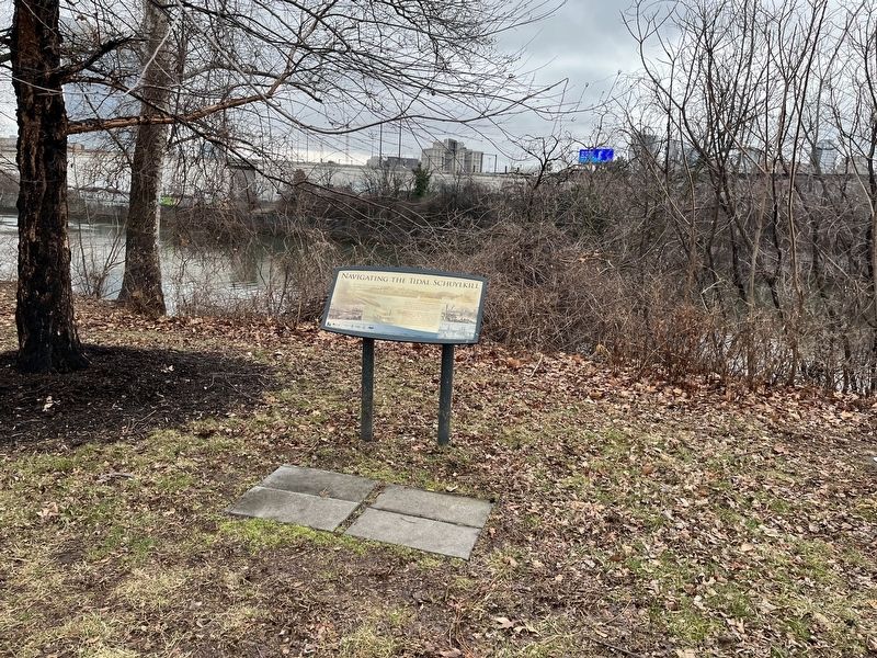
2. Navigating the Tidal Schuylkill Marker
Credits. This page was last revised on September 4, 2023. It was originally submitted on February 27, 2022, by Devry Becker Jones of Washington, District of Columbia. This page has been viewed 90 times since then and 8 times this year. Photos: 1, 2. submitted on February 27, 2022, by Devry Becker Jones of Washington, District of Columbia.