Near Fulton in Graves County, Kentucky — The American South (East South Central)
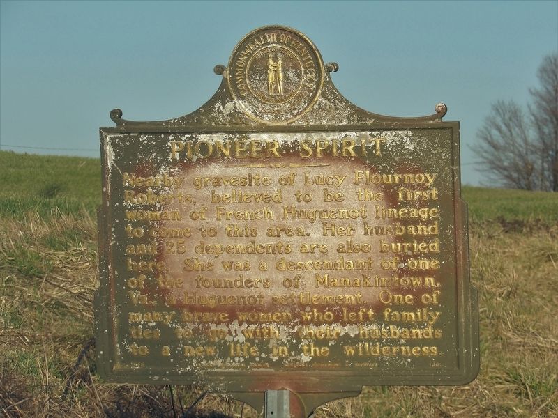
Pioneer Spirit
Erected 1968 by Kentucky Historical Society • Kentucky Department of Highways. (Marker Number 1209.)
Topics and series. This historical marker is listed in these topic lists: Cemeteries & Burial Sites • Settlements & Settlers • Women. In addition, it is included in the Kentucky Historical Society series list.
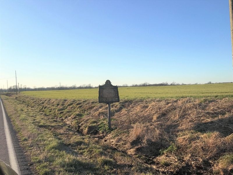
Location. 36° 30.161′ N, 88° 44.754′ W. Marker is near Fulton, Kentucky, in Graves County. Marker is on State Line Road (Kentucky Route 129) 0.1 miles west of Old Bethel Church Road, on the right when traveling west. Touch for map. Marker is in this post office area: Fulton KY 42041, United States of America. Touch for directions.
Other nearby markers. At least 7 other markers are within 13 miles of this marker, measured as the crow flies. Two Successful Raids (approx. 1.7 miles away); Feliciana (approx. 4.1 miles away); Civil War Skirmish (approx. 6.8 miles away in Tennessee); Founding Father (approx. 7.3 miles away); Jackson Purchase (approx. 8.1 miles away); Isham Browder's Grave (approx. 11.3 miles away); The University of Tennessee at Martin (approx. 12.8 miles away in Tennessee).
Also see . . . Jacob Flournoy (1760-1946). Flournoy family genealogy beginning with Jacob Flournoy, Lucy's father, that includes some details about her life and migration to Kentucky. (Submitted on February 28, 2022, by Duane and Tracy Marsteller of Murfreesboro, Tennessee.)
Credits. This page was last revised on February 28, 2022. It was originally submitted on February 27, 2022, by Duane and Tracy Marsteller of Murfreesboro, Tennessee. This page has been viewed 160 times since then and 12 times this year. Photos: 1, 2. submitted on February 27, 2022, by Duane and Tracy Marsteller of Murfreesboro, Tennessee.

