Perrysburg in Wood County, Ohio — The American Midwest (Great Lakes)
General William Henry Harrison
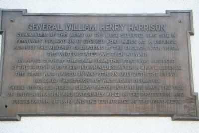
General William Henry Harrison, commander of the Army of the West, selected this site in February 1813, and on it erected Fort Meigs as a defense against the military operations of the English, with whom the United States was then at war.
On April 26th of the same year, this fort was besieged by the British and their Indian allies. After a brave defense the siege was raised on May 9th. On July 20th the enemy renewed the attack but was again defeated.
These victories were a great factor in turning back the tide of British invasion and materially aided in the protection and preservation of Ohio and the territories of the Northwest.
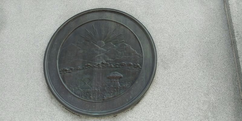
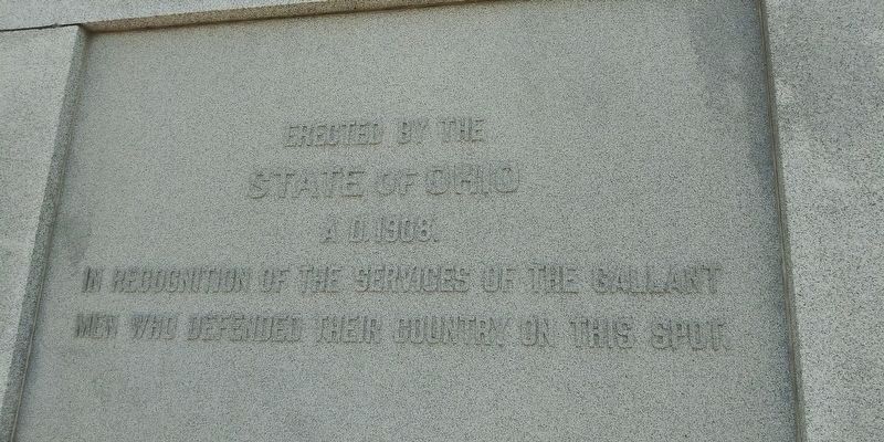
Erected 1908 by the State of Ohio.
Topics and series. This historical marker is listed in these topic lists: Forts and Castles • Native Americans • War of 1812. In addition, it is included in the Former U.S. Presidents: #09 William Henry Harrison series list. A significant historical month for this entry is February 1813.
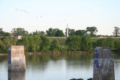
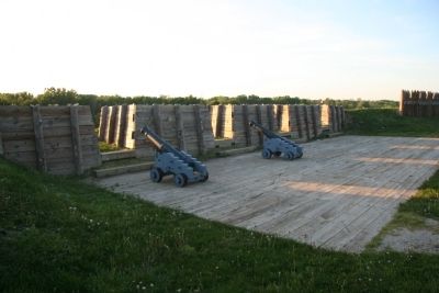
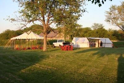
Location. 41° 33.165′ N, 83° 39.099′ W. Marker is in Perrysburg, Ohio, in Wood County. Marker is on West Indiana Avenue (Ohio Route 65) near Fort Meigs Road, on the right when traveling south. This historical marker is located inside of a reconstructed War of 1812 fort, on the high ground over looking the Maumee River, on the Perrysburg side of the river, within easy view of the Maumee-Perrysburg Bridge. Touch for map. Marker is in this post office area: Perrysburg OH 43551, United States of America. Touch for directions.
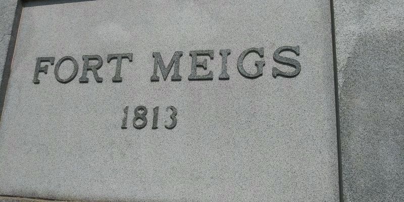
Other nearby markers. At least 8 other markers are within walking distance of this marker. Fort Meigs (here, next to this marker); Lieut. John McCullough & Lieut. Robert Walker (within shouting distance of this marker); First Siege (within shouting distance of this marker); Major Amos Stoddard (within shouting distance of this marker); The Grand Battery (about 300 feet away, measured in a direct line); Stockade (about 400 feet away); Gardens (about 400 feet away); Second Fort (about 400 feet away). Touch for a list and map of all markers in Perrysburg.
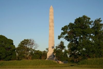
More about this marker. This historical marker is actually attached to a very visible obelisk memorial marker situated in the middle of the reconstructed Fort Meigs, on property owned and maintained by the Ohio Historical Society. In addition to this historical marker and the reconstructed fort the Ohio Historical Society also maintains a staffed museum, numerous outdoor display/interpretation panels, and frequently they utilize historical interactors at this facility.
Related markers. Click here for a list of markers that are related to this marker. To better understand the relationship, study each marker in the order shown.
Also see . . .
1. William Henry Harrison. Touring Ohio website entry (Submitted on May 23, 2009, by Dale K. Benington of Toledo, Ohio.)
2. Fort Meigs. Touring Ohio website entry (Submitted on May 23, 2009, by Dale K. Benington of Toledo, Ohio.)
Photographed By Allen C. Browne, February 16, 2015
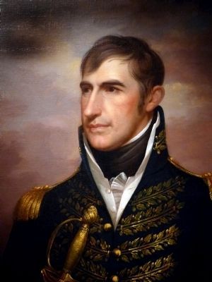
6. General William Henry Harrison
This c. 1813 painting by Rembrandt Peale hangs in the National Portrait Gallery in Washington DC
“The first battle of the War of 1812 actually occurred in 1811, with the Battle of Tippecanoe in the Indiana wilderness. As governor of the territory, William Henry Harrison faced increased resistance from Indian tribes forced from their homes by new settlers. Harrison met with Shawnee warrior chief Tecumseh at a tense council that nearly ended in violence and led in part to Tecumseh's alliance with the British during the subsequent war. With tensions rising, Tecumseh's brother Tenskwatawa (the Prophet) attacked Harrison's forces near Tippecanoe. The surprise strike resulted in heavy casualties for Harrison; however, the Indians left the field and Harrison then destroyed Tecumseh's stronghold, Prophet's Town, claiming the victory. A year later, Harrison. commanded the American forces at the Battle of the Thames, where Tecumseh was killed. In 1840 the slogan ‘Tippecanoe and Tyler too!’ propelled Harrison to the presidency.” — National Portrait Gallery
“The first battle of the War of 1812 actually occurred in 1811, with the Battle of Tippecanoe in the Indiana wilderness. As governor of the territory, William Henry Harrison faced increased resistance from Indian tribes forced from their homes by new settlers. Harrison met with Shawnee warrior chief Tecumseh at a tense council that nearly ended in violence and led in part to Tecumseh's alliance with the British during the subsequent war. With tensions rising, Tecumseh's brother Tenskwatawa (the Prophet) attacked Harrison's forces near Tippecanoe. The surprise strike resulted in heavy casualties for Harrison; however, the Indians left the field and Harrison then destroyed Tecumseh's stronghold, Prophet's Town, claiming the victory. A year later, Harrison. commanded the American forces at the Battle of the Thames, where Tecumseh was killed. In 1840 the slogan ‘Tippecanoe and Tyler too!’ propelled Harrison to the presidency.” — National Portrait Gallery
Credits. This page was last revised on July 26, 2022. It was originally submitted on May 23, 2009, by Dale K. Benington of Toledo, Ohio. This page has been viewed 1,266 times since then and 21 times this year. Photos: 1, 2, 3, 4, 5. submitted on May 23, 2009, by Dale K. Benington of Toledo, Ohio. 6. submitted on June 30, 2015, by Allen C. Browne of Silver Spring, Maryland. 7, 8, 9. submitted on January 29, 2021, by Craig Doda of Napoleon, Ohio. • Syd Whittle was the editor who published this page.
