Murfreesboro in Rutherford County, Tennessee — The American South (East South Central)
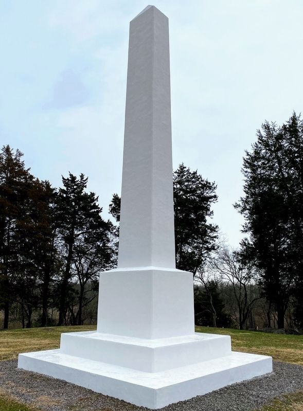
Stones River Artillery Monument
Photographed by Bill Coughlin, July 31, 2003
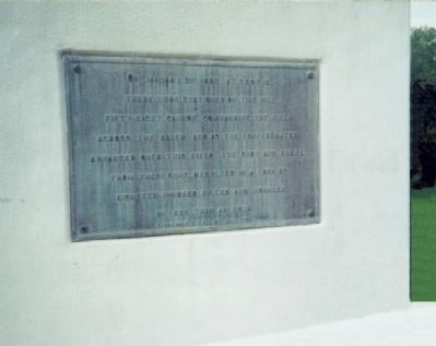
1. Stones River Artillery Monument Marker
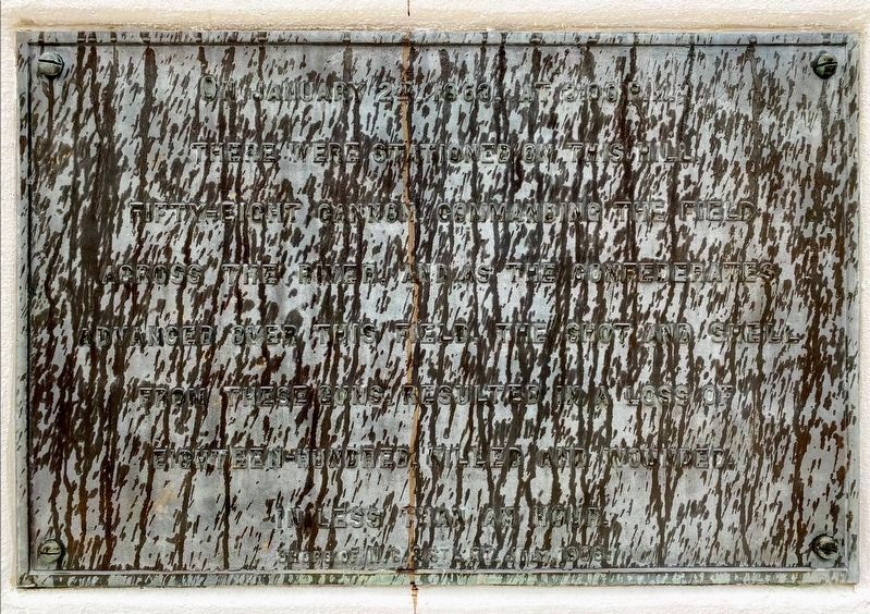
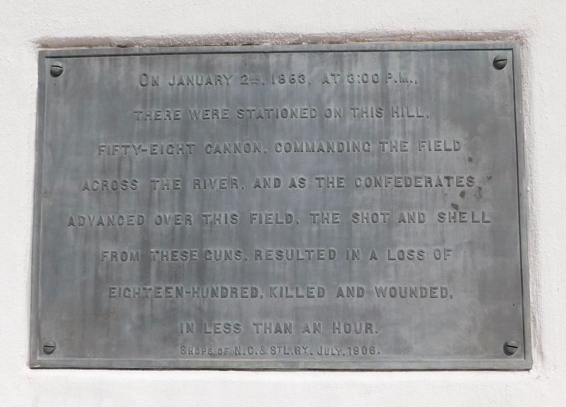
there were stationed on this hill
fifty-eight cannon commanding the field
across the river, and as the Confederates
advanced over this field, the shot and shell
from these guns resulted in a loss of
eighteen-hundred killed and wounded
in less than an hour.
Topics. This historical marker and monument is listed in this topic list: War, US Civil. A significant historical month for this entry is January 1912.
Location. 35° 53.286′ N, 86° 25.554′ W. Marker is in Murfreesboro, Tennessee, in Rutherford County. It can be reached from Battlefield Pkwy, on the left when traveling east. Marker is in Stones River National Battlefield, along the tour road. Touch for map. Marker is in this post office area: Murfreesboro TN 37129, United States of America. Touch for directions.

Regionally, this marker and monument is in Middle Tennessee and in Greater Nashville. It is also in the American South and specifically in the Upper South. Globally, it is in North America, the Western Hemisphere, the Western World, and the Anglosphere. Historically, it finds itself in what was once the territory of the Mississippian
this page online
Other nearby markers. At least 8 other markers are within walking distance of this marker: McFadden Cemetery (within shouting distance of this marker); Battle at Stones River (within shouting distance of this marker); Remembering by Rail (within shouting distance of this marker); The Very Forest Seemed to Fall (about 300 feet away, measured in a direct line); My Poor Orphans! (about 500 feet away); McFadden's Ford (about 600 feet away); Battle of Stones River (approx. 0.2 miles away); Battle of Murfreesboro (approx. half a mile away). Touch for a list and map of all markers in Murfreesboro.
Other markers no longer nearby. Breckinridge's Attack (was within shouting distance of this marker but has been permanently removed); Artillery Saves the Day (was within shouting distance of this marker but has been reported to have been replaced with another marker now near it); McFadden Farm (was about 500 feet away but has been confirmed missing).
Also see . . . Stones River National Battlefield. National Park Service website. (Submitted on August 9, 2009, by Bill Coughlin of Woodland Park, New Jersey.)
Photographed by Shane Oliver, January 30, 2021
2. Stones River Artillery Monument
Photographed by Shane Oliver, January 30, 2021
3. Stones River Artillery Monument
Photographed by Bradley Owen, October 24, 2022
4. Stones River Artillery Monument
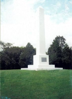
Photographed by Bill Coughlin, July 31, 2003
5. Marker on Stones River National Battlefield
Union soldiers retreated across this field on January 2, 1863, pursued by Confederate troops under Maj. Gen. John C. Breckinridge. The Southerners were stopped by Mendenhall's Artillery posted at this position.
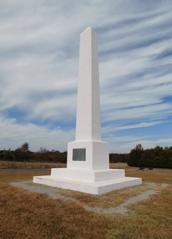
Photographed by Bradley Owen, October 24, 2022
6. Stones River Artillery Monument
Credits. This page was last revised on December 19, 2022. It was originally submitted on August 9, 2009, by Bill Coughlin of Woodland Park, New Jersey. This page has been viewed 2,738 times since then and 99 times this year. Last updated on February 28, 2022, by Bradley Owen of Morgantown, West Virginia. Photos: 1. submitted on August 9, 2009, by Bill Coughlin of Woodland Park, New Jersey. 2, 3. submitted on March 14, 2021, by Shane Oliver of Richmond, Virginia. 4. submitted on December 18, 2022, by Bradley Owen of Morgantown, West Virginia. 5. submitted on August 9, 2009, by Bill Coughlin of Woodland Park, New Jersey. 6. submitted on December 18, 2022, by Bradley Owen of Morgantown, West Virginia. • Mark Hilton was the editor who published this page.
