Penn's Landing in Philadelphia in Philadelphia County, Pennsylvania — The American Northeast (Mid-Atlantic)
History of William Penn
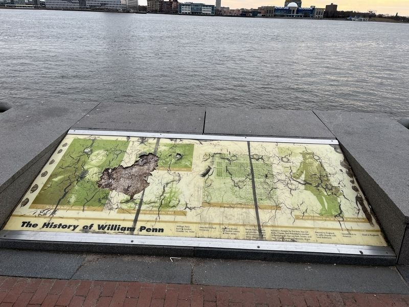
1644: William Penn born in London, October 14, 1644
1660-62: Attended Oxford University
1675: Became a trustee of Quaker colony in New Jersey
1682: Wrote Pennsylvania constitution, Frame of Government and Laws. Agreed on in England in 1682.
Arrived in America for first time; lays out Bucks, Chester, and Philadelphia counties in Pennsylvania; lays out Kent, Sussex and New Castle counties in Delaware; draws up plan for Philadelphia.
1684: Retured to England to settle dispute with Lord Baltimore
1701: Second visit to America
1718: Died in England
Topics and series. This historical marker is listed in these topic lists: Colonial Era • Religion & Religious Structures • Settlements & Settlers. In addition, it is included in the Quakerism series list. A significant historical date for this entry is October 14, 1644.
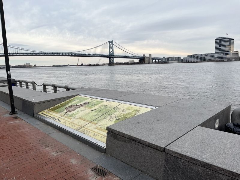
Location. 39° 56.85′ N, 75° 8.371′ W. Marker has been reported damaged. Marker is in Philadelphia, Pennsylvania, in Philadelphia County. It is in Penn's Landing. It can be reached from South Chris Columbus Boulevard 0.3 miles north of Dock Street, on the right when traveling north. Touch for map.
this page online

Regionally, this marker is in Southeast Pennsylvania. It is also in the American Northeast and in the Mid-Atlantic. Globally, it is in North America, the Western Hemisphere, the Western World, and the Anglosphere. Historically, it finds itself in what was once the Haudenosaunee (Iroquois) Confederacy, New Netherland, and one of the original Thirteen Colonies.
Other nearby markers. At least 8 other markers are within walking distance of this location: 1840 (about 300 feet away, measured in a direct line); William Penn's Philadelphia (about 300 feet away); The Growth of the City / The Trees of the City (about 300 feet away); 1702 (about 300 feet away); 1754 (about 300 feet away); a different marker also named The Growth of the City / The Trees of the City (about 300 feet away); Philadelphia Firsts (about 300 feet away); The Pennsylvania Slave Trade (about 400 feet away). Touch for a list and map of all markers in Philadelphia.
Credits. This page was last revised on February 2, 2024. It was originally submitted on March 1, 2022, by Devry Becker Jones of Washington, District of Columbia. This page has been viewed 215 times since then and 13 times this year. Photos: 1, 2. submitted on March 1, 2022, by Devry Becker Jones of Washington, District of Columbia.
