Goderich in Huron County, Ontario — Central Canada (North America)
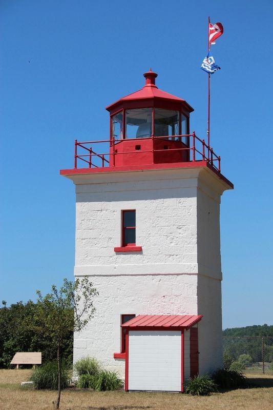
Goderich Lighthouse
Goderich Marine Heritage Walkway
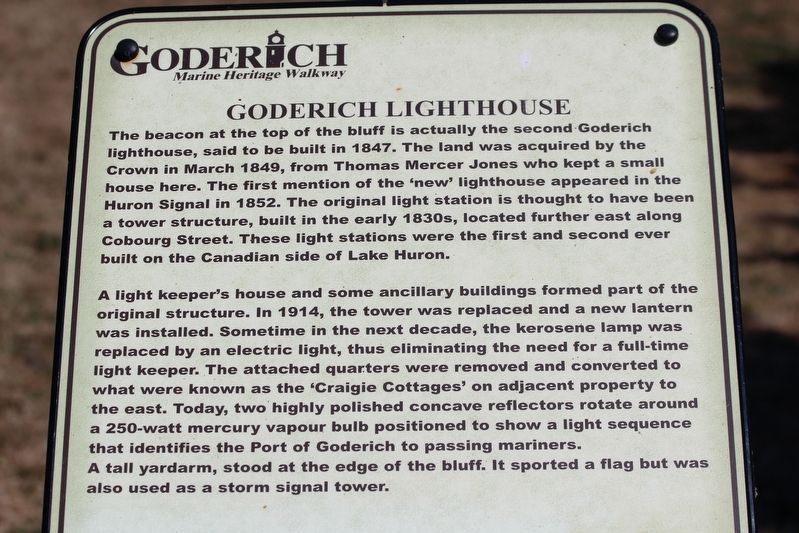
A light keeper's house and some ancillary buildings formed part of the original structure. In 1914, the tower was replaced and a new lantern was installed. Sometime in the next decade, the kerosene lamp was replaced by an electric light, thus eliminating the need for a full-time light keeper. The attached quarters were removed and converted to what were known as the 'Craigie Cottages' on adjacent property to the east. Today, two highly polished concave reflectors rotate around a 250-watt mercury vapour bulb positioned to show a light sequence that identifies the Port of Goderich to passing mariners. A tall yardarm, stood at the edge of the bluff. It sported a flag but was also used as a storm signal tower.
Topics. This historical marker is listed in these topic lists: Communications • Waterways & Vessels. A significant historical month for this entry is March 1849.
Location. 43° 44.5′ N, 81° 43.471′ W. Marker is in Goderich, Ontario, in Huron County. Marker is on Cobourg Street just south of Lighthouse Street, on the right when traveling south. Touch for map. Marker is at or near this postal address: 280 Cobourg St, Goderich ON N7A 2J2, Canada. Touch for directions.
Other nearby markers. At least 7 other markers are within 21 kilometers of this marker, measured as the crow flies. Port of Goderich Lighthouse (within shouting distance of this marker); The Canadian Pacific Railway Station (about 180 meters away, measured in a direct line); The Great Storm of 1913 (about 180 meters away); Goderich Dominion Post Office and Customs Office (approx. 0.8 kilometers away); Goderich Public Library Renovation and Expansion (approx. 0.9 kilometers away); The Pioneers of Clinton (approx. 20.5 kilometers away); Horatio Emmons Hale (1817-1896) (approx. 20.5 kilometers away).
Credits. This page was last revised on March 16, 2022. It was originally submitted on March 3, 2022, by Duane and Tracy Marsteller of Murfreesboro, Tennessee. This page has been viewed 179 times since then and 26 times this year. Photos: 1. submitted on March 3, 2022, by Duane and Tracy Marsteller of Murfreesboro, Tennessee. 2. submitted on March 16, 2022, by Duane and Tracy Marsteller of Murfreesboro, Tennessee.
Editor’s want-list for this marker. Wide shot of marker and surrounding area in context. • Can you help?

