Greenville in Darke County, Ohio — The American Midwest (Great Lakes)
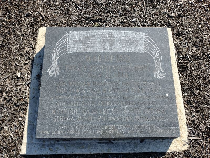
War of 1812
Treaty At Greenville, Ohio July 22, 1814
Gen. William Henry Harrison, United States
Gov. Lewis Cass, Michigan Territory
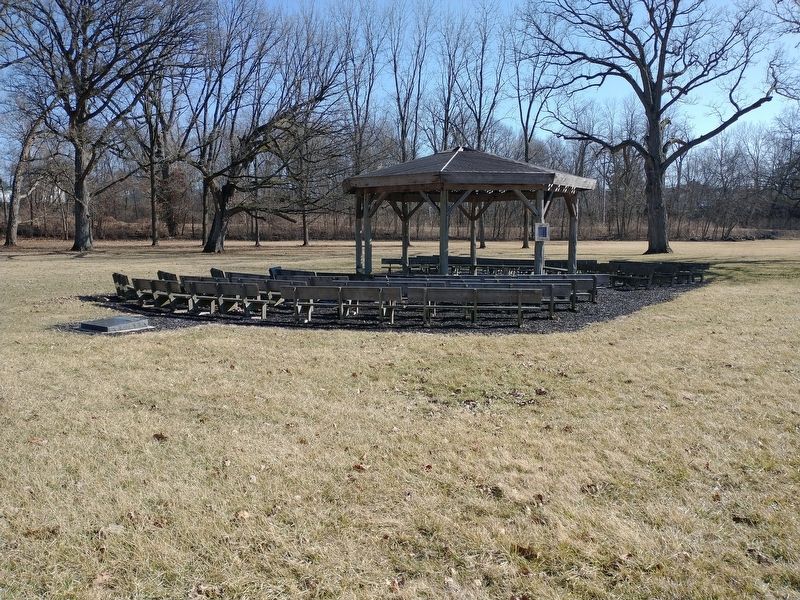
A Bowery was built to conduct treaty negotiations with eight Native American Indian Nations
Wyandot, Delaware, Shawanee, Ottawa, Seneca, Miami, Potawatime, Kickapoo
Erected by Treaty Of Greenville Bicentennial Commission; Darke County Park District Ohio Facilities Construction Commission.
Topics and series. This memorial is listed in these topic lists: Native Americans • Peace • War of 1812. In addition, it is included in the Former U.S. Presidents: #09 William Henry Harrison series list.
Location. 40° 6.379′ N, 84° 38.03′ W. Marker is in Greenville, Ohio, in Darke County. Memorial is on Wilson Drive, 0.2 miles east of North Broadway Street (Ohio Route 118), on the right when traveling east. Touch for map. Marker is at or near this postal address: 151 Wilson Dr, Greenville OH 45331, United States of America. Touch for directions.
Other nearby markers. At least 8 other markers are within walking distance of this marker. Anthony Wayne Flag Pole (within shouting distance of this marker); Treaty of Greene Ville Peace Medals (within shouting distance of this marker); Water Street Cemetery (about 700 feet away, measured in a direct line); Zachary Lansdowne (about 800 feet away); buchy's (approx. 0.2 miles away); Boulder (approx. 0.2 miles away); Annie Oakley (approx. 0.2 miles away); Fort Greene-Ville (approx. ¼ mile away). Touch for a list and map of all markers in Greenville.
Credits. This page was last revised on March 14, 2022. It was originally submitted on March 3, 2022, by Craig Doda of Napoleon, Ohio. This page has been viewed 132 times since then and 19 times this year. Photos: 1, 2. submitted on March 3, 2022, by Craig Doda of Napoleon, Ohio. • Devry Becker Jones was the editor who published this page.

