
Mountville in Troup County, Georgia — The American South (South Atlantic)
Mountville Methodist
Photographed by James L.Whitman, March 2, 2022
1. Mountville Methodist Marker
(front)
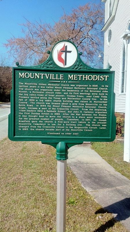
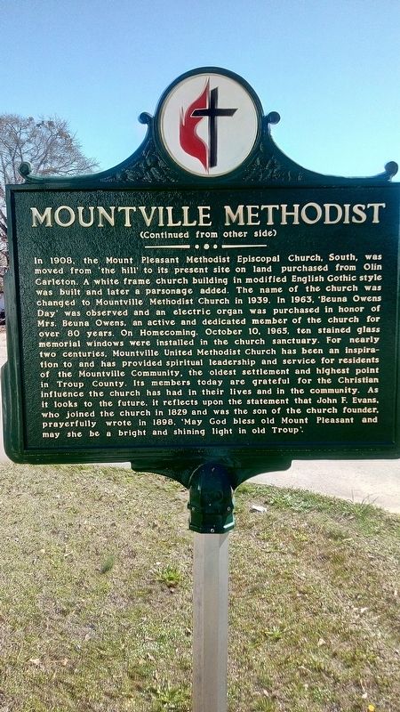
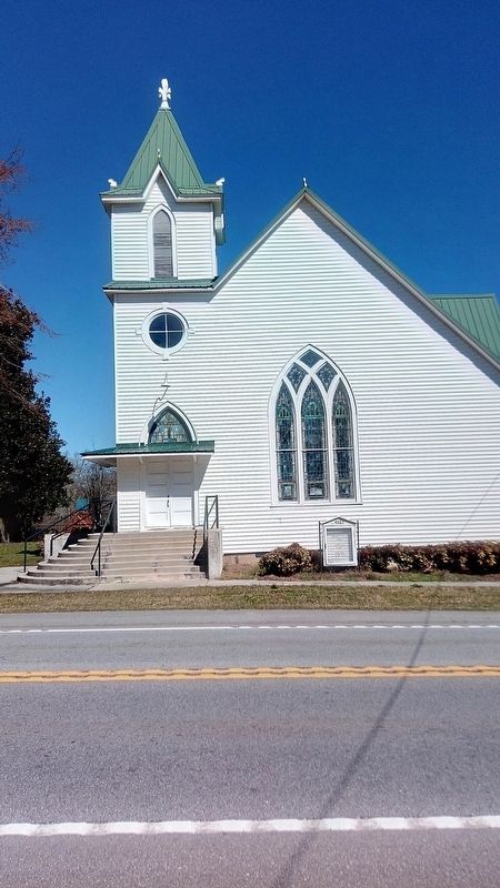
The Mountville United Methodist Church was organized in 1828. In its earliest years it was called Mount Pleasant Methodist Episcopal Church. The church was organized under the leadership of the Reverend John Hunter, a Methodist circuit rider, Thomas Evans, near Camp Viola. Pioneers settled along the Throup and Meriwether County line. In the fall of 1828 a log cabin church building was raised in Meriwether County. The church was located about a mile from Mountville on the Keith Road. In 1854 the Mount Pleasant Methodist Episcopal Church, South, became a part of the Greenville Circuit. From the beginning, 'class leaders' held a Sabbath School, but John N. Carleton Organized the first Sunday School in 1866. After the war between the States, it was thought best to move the church to a place more accessible for the greatest number of people, Therefore, in 1871, Dr. Joseph Bradfield gave the church a five-acre tract ( which is the present Mountville Cemetery) to use for a building site. The church was changed from the Greenville Circuit to the Hogansville Circuit. Later, in 1893, the church became part of the Mountville Circuit.
this page online
Topics. This historical marker is listed in these topic lists: Cemeteries & Burial Sites • Religion & Religious Structures • Settlements & Settlers. A significant historical year for this entry is 1828.
Location. 33° 2.375′ N, 84° 52.606′ W. Marker is in Mountville, Georgia, in Troup County. It is on Greenville Road (Georgia Route 109) 0.1 miles west of Evans Street, on the right when traveling west. Touch for map. Marker is at or near this postal address: 4563 Greenville Rd, Lagrange GA 30241, United States of America. Touch for directions.

Regionally,
Photographed by James L.Whitman, March 2, 2022
2. Mountville Methodist Marker
Other nearby markers. At least 8 other markers are within 9 miles of this marker, measured as the crow flies: Mountville Community (approx. 0.3 miles away); Troup Factory (approx. 7.1 miles away); Union Cemetery (approx. 7½ miles away); Noted Indian Trail (approx. 7.9 miles away); East Depot High School (approx. 8.2 miles away); Horace King Bridge Builder (approx. 8.3 miles away); Lynching in America / Raising a Voice Against Racial Violence (approx. 8.6 miles away); Troup County Academy (approx. 8.9 miles away).
Photographed by James L.Whitman, March 2, 2022
3. Mountville Methodist Marker
Credits. This page was last revised on March 4, 2022. It was originally submitted on March 3, 2022, by James L.Whitman of Eufaula, Alabama. This page has been viewed 693 times since then and 70 times this year. Last updated on March 4, 2022, by Bradley Owen of Morgantown, West Virginia. Photos: 1, 2, 3. submitted on March 3, 2022, by James L.Whitman of Eufaula, Alabama. • Bernard Fisher was the editor who published this page.
