Castroville in Medina County, Texas — The American South (West South Central)
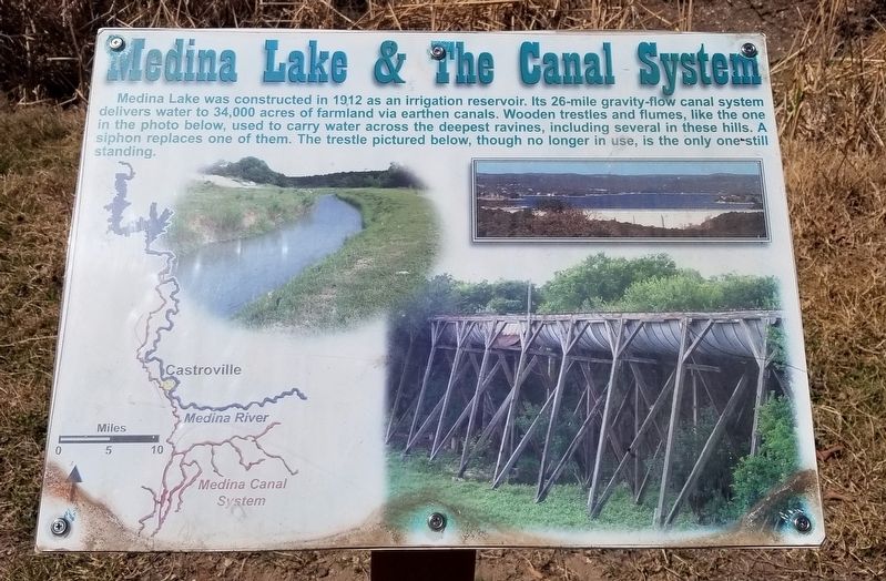
Medina Lake & The Canal System
— Castroville Regional Park —
Erected by City of Castroville.
Topics. This historical marker is listed in these topic lists: Parks & Recreational Areas • Waterways & Vessels. A significant historical year for this entry is 1912.
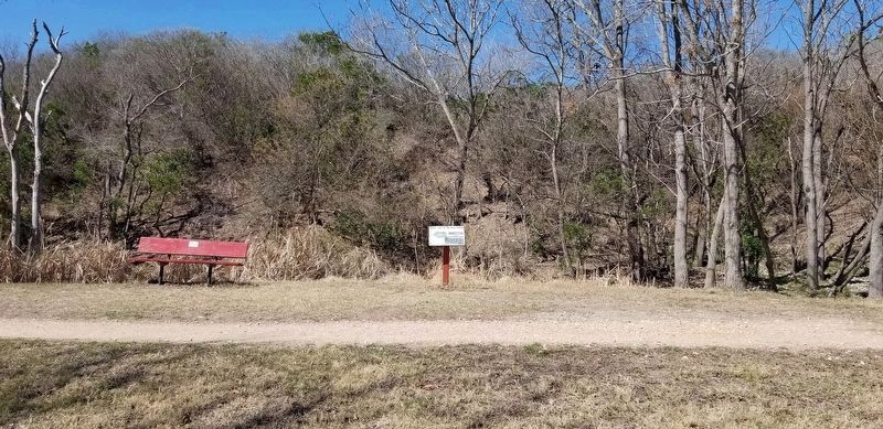
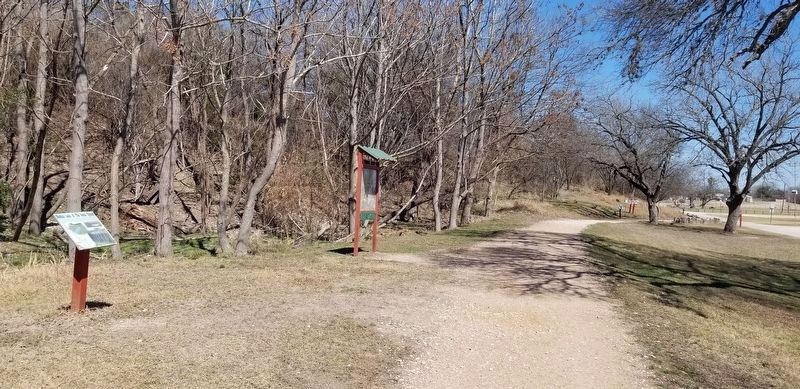
Location. 29° 20.5′ N, 98° 53.068′ W. Marker is in Castroville, Texas, in Medina County. Marker can be reached from the intersection of Alsace Avenue and Gentilz Street. The marker is located at the middle western section of the Castroville Regional Park. Touch for map. Marker is at or near this postal address: 816 Alsace Avenue, Castroville TX 78009, United States of America. Touch for directions.
Other nearby markers. At least 8 other markers are within walking distance of this marker. Indian History in These Hills (within shouting distance of this marker); Lest We Forget!!! (approx. 0.2 miles away); Joe and Gertrude Hoog (approx. 0.2 miles away); Renken Cemetery (approx. ¼ mile away); Ihnken Family Cemetery (approx. 0.3 miles away); Cross Hill (approx. 0.6 miles away); St. Louis Cemetery (approx. 0.6 miles away); F. Xavier Schmidt House (approx. 0.8 miles away). Touch for a list and map of all markers in Castroville.
Also see . . . Medina Lake.
Medina Lake, an artificial lake on the Medina River, is eight miles northwest of the Medina River in southeast Bandera and northeast Medina counties (its center is at 29°32' N, 98°56' W). The lake was constructed to irrigate farmlands in Medina, Bexar, and Atascosa counties, but it also became an important recreational facility in the area. Source: The Handbook of Texas(Submitted on March 4, 2022, by James Hulse of Medina, Texas.)
Credits. This page was last revised on March 5, 2022. It was originally submitted on March 4, 2022, by James Hulse of Medina, Texas. This page has been viewed 271 times since then and 32 times this year. Photos: 1, 2, 3. submitted on March 4, 2022, by James Hulse of Medina, Texas.


