Pineville in Rapides Parish, Louisiana — The American South (West South Central)
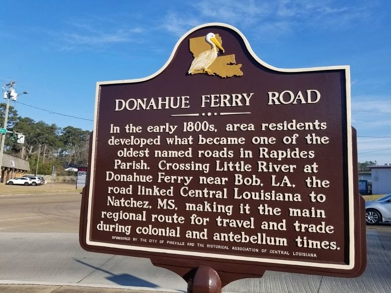
Donahue Ferry Road
In the early 1800s, area residents developed what became one of the oldest named roads in Rapides Parish. Crossing the Little River at Donahue Ferry in Bob, LA, the road linked Central Louisiana to Natchez, MS, making it the main regional route for travel and trade during the colonial and antebellum times.
Erected by City of Pineville and the Historical Association of Central Louisiana.
Topics. This historical marker is listed in these topic lists: Roads & Vehicles • Waterways & Vessels.
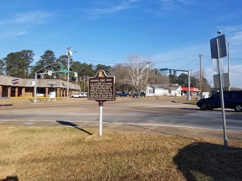
Location. 31° 19.713′ N, 92° 25.715′ W. Marker is in Pineville, Louisiana, in Rapides Parish. Marker is on Main Street (Business U.S. 165) near Donahue Ferry Road (Louisiana Highway 3100), on the right when traveling north. Touch for map. Marker is in this post office area: Pineville LA 71360, United States of America. Touch for directions.
Other nearby markers. At least 8 other markers are within walking distance of this marker. Cavanaugh Hall of Science (about 400 feet away, measured in a direct line); 1100 Block Main Street (approx. 0.2 miles away); Governor Jimmie Davis (approx. 0.2 miles away); 1101 Main Street (approx. 0.2 miles away); In Honor and Memory of Louisiana College Students (approx. 0.2 miles away); 1000 Block Main Street (approx. ¼ mile away); Louisiana College (approx. ¼ mile away); Alexandria Hall (approx. ¼ mile away). Touch for a list and map of all markers in Pineville.
Credits. This page was last revised on March 5, 2022. It was originally submitted on March 5, 2022, by Cajun Scrambler of Assumption, Louisiana. This page has been viewed 241 times since then and 24 times this year. Photos: 1, 2. submitted on March 5, 2022, by Cajun Scrambler of Assumption, Louisiana.

