Summit in Union County, New Jersey — The American Northeast (Mid-Atlantic)
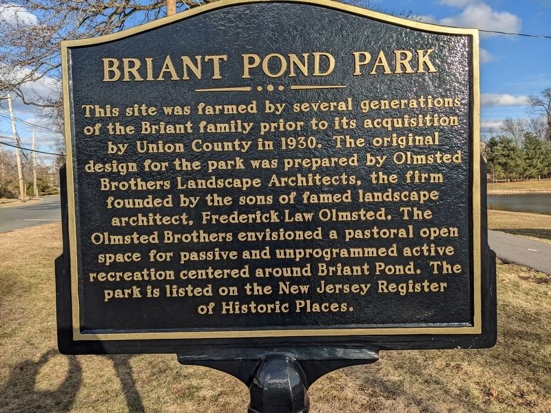
Briant Pond Park
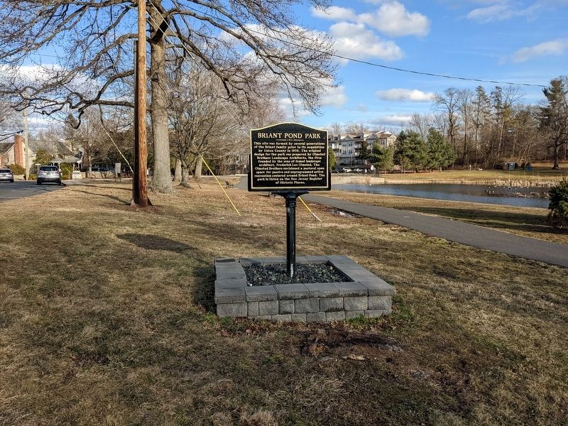
This site was farmed by several generations of the Briant family prior to its acquisition by Union Country in 1930. The original design for the park was prepared by Olmsted Brothers Landscape Architects, the firm founded by the sons of the famed landscape architect, Frederick Law Olmsted. The Olmsted Brothers envisioned a pastoral open space for passive and unprogrammed active recreation centered around Briant Pond. The park is listed on the New Jersey Register of Historic Places.
Erected 2021.
Topics. This historical marker is listed in this topic list: Parks & Recreational Areas. A significant historical year for this entry is 1930.
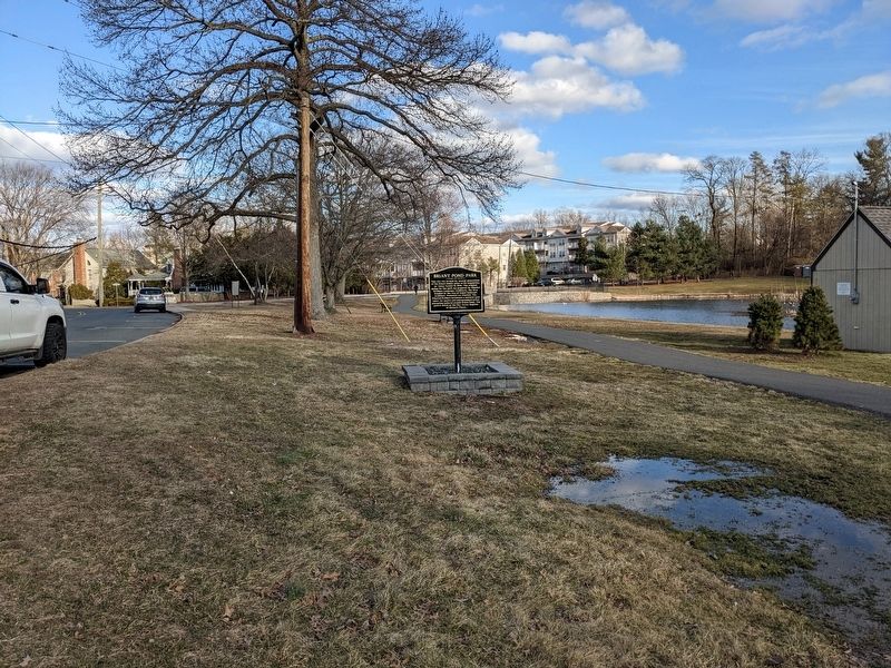
Location. 40° 42.957′ N, 74° 20.154′ W. Marker is in Summit, New Jersey, in Union County. Marker is at the intersection of Springfield Ave (County Route 527) and Middle Avenue, on the right when traveling east on Springfield Ave. Touch for map. Marker is in this post office area: Summit NJ 07901, United States of America. Touch for directions.
Other nearby markers. At least 8 other markers are within 2 miles of this marker, measured as the crow flies. Wallace Chapel A.M.E. Zion Church (approx. 0.4 miles away); Florence Spearing Randolph (approx. 0.4 miles away); Rahway Valley Railroad (approx. 0.8 miles away); Signal Beacon and the “Old Sow” (approx. one mile away); Patriots who fell at Springfield (approx. 1.3 miles away); Summit Opera House (approx. 1.4 miles away); The Battle of Springfield (approx. 1.4 miles away); Springfield (approx. 1.4 miles away). Touch for a list and map of all markers in Summit.
Credits. This page was last revised on March 12, 2022. It was originally submitted on March 5, 2022, by Seva Zaslavsky of Maplewood, New Jersey. This page has been viewed 273 times since then and 40 times this year. Photos: 1, 2, 3. submitted on March 5, 2022, by Seva Zaslavsky of Maplewood, New Jersey. • Michael Herrick was the editor who published this page.


