Kingman in Mohave County, Arizona — The American Mountains (Southwest)
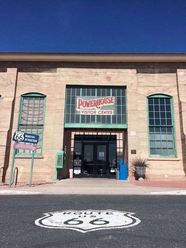
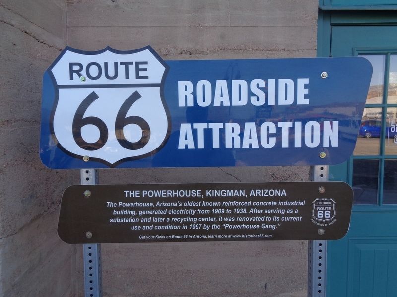
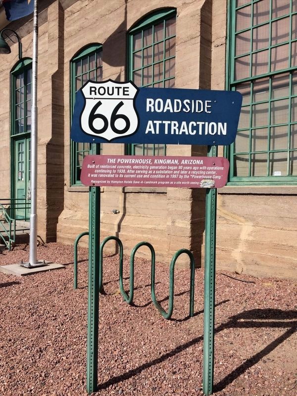
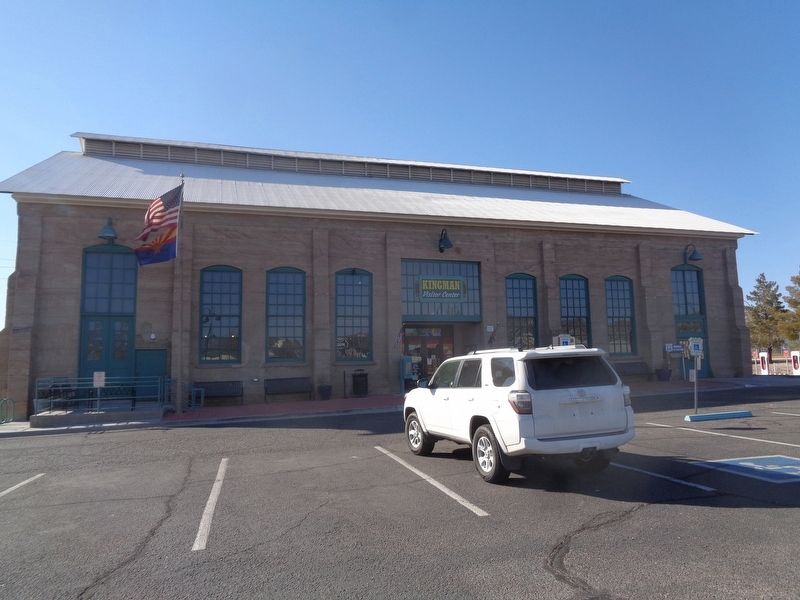
The Powerhouse, Kingman, Arizona
Route 66 Roadside Attraction
The Powerhouse, Arizona's oldest known reinforced concrete industrial building, generated electricity from 1909 to 1938. After serving as a substation and later a recycling center, it was renovated to its current use and condition in 1997 by the "Powerhouse Gang."
Get your Kicks on Route 66 in Arizona, learn more at www.historicaz66.com
Erected 2019 by Route 66 Association of Arizona.
Topics and series. This historical marker is listed in these topic lists: Industry & Commerce • Roads & Vehicles. In addition, it is included in the Route 66 Roadside Attractions, and the U.S. Route 66 series lists. A significant historical year for this entry is 1909.
Location. 35° 11.349′ N, 114° 3.516′ W. Marker is in Kingman, Arizona, in Mohave County. Marker is on West Andy Devine Avenue (Old U.S. 66) west of North 1st Street, on the left when traveling west. Marker is located in front of the building. Touch for map. Marker is at or near this postal address: 120 W Andy Devine Ave, Kingman AZ 86401, United States of America. Touch for directions.
Other nearby markers. At least 8 other markers are within walking distance of this marker. Desert Power & Water Co. (within shouting distance of this marker); Locomotive Park (within shouting distance of this marker); Santa Fe Locomotive No. 3759 (about 300 feet away, measured in a direct line); Kingman Veteran's Memorial (about 500 feet away); Wagon Route (about 600 feet away); United States Army (about 600 feet away); Lt. Edward Fitzgerald Beale (about 600 feet away); Charles Metcalfe Park (approx. 0.2 miles away). Touch for a list and map of all markers in Kingman.
More about this marker. This marker replaced one originally put up by the Hampton Hotels Save-A-Landmark program in 2003.

Photographed By Adam Margolis, April 28, 2017
4. The Powerhouse - Home of the Arizona Route 66 Museum
Museum website homepage
Click for more information.
Click for more information.
Credits. This page was last revised on April 28, 2022. It was originally submitted on March 7, 2022, by Jason Voigt of Glen Carbon, Illinois. This page has been viewed 311 times since then and 32 times this year. Photos: 1. submitted on March 7, 2022, by Jason Voigt of Glen Carbon, Illinois. 2. submitted on March 30, 2022, by Adam Margolis of Mission Viejo, California. 3. submitted on March 7, 2022, by Jason Voigt of Glen Carbon, Illinois. 4. submitted on March 30, 2022, by Adam Margolis of Mission Viejo, California.


