Ossining in Westchester County, New York — The American Northeast (Mid-Atlantic)
The Crescent
⎯⎯⎯
La Media Luna
Ossining, New York
| — | The Museum in the Streets© | — |

The Crescent
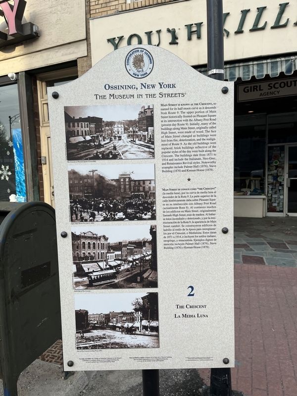
Main Street is known as the Crescent, so named for its half-moon curve as it descends from Route 9. The upper portion of Main Street historically fronted on Pleasant Square at its intersection with the Albany Post Road (present-day Route 9). Initially, many of the buildings along Main Street, originally called High Street, were made of wood. The face of Main Street changed as buildings were lost from fire, deterioration, and the realignment of Route 9. As the old buildings were replaced, brick buildings reflective of the popular styles of the day were built along the Crescent. The buildings date from 1871 to 1914 and include the Italianate, Neo-Grec, and Renaissance Revival styles. Noteworthy examples include Palmer Hall (1876), Stave Building (1876) and Keenan House (1878).
Main Street se conoce como “the Crescent” (la media luna), por su curva de media luna al descender de la Ruta 9. La parte superior de la calle históricamente daba sobre Pleasant Square en su intersección con Albany Post Road (actualmente Ruta 9). Al comienzo muchos de los edificios en Main Street, originalmente
this page online
Erected by The Museum in the Streets©. (Marker Number 2.)
Topics and series. This historical marker is listed in these topic lists: Architecture • Roads & Vehicles. In addition, it is included in the The Museum in the Streets: Ossining, New York series list. A significant historical year for this entry is 1871.
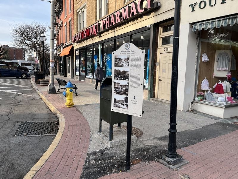
Location. 41° 9.728′ N, 73° 51.699′ W. Marker is in Ossining, New York, in Westchester County. It is at the intersection of Albany Post Road (U.S. 9) and Main Street, on the right when traveling south on Albany Post Road. Touch for map. Marker is at or near this postal address: 201 Main St, Ossining NY 10562, United States of America. Touch for directions.

Regionally,
Other nearby markers. At least 8 other markers are within walking distance of this marker: Trinity Episcopal Church / Iglesia Episcopal Trinity (within shouting distance of this marker); George Rohr's Saloon and Boarding House / Taberna y Pensión de George Rohr (within shouting distance of this marker); The Ossining Bank for Savings / El banco Sing Sing de Seguros (within shouting distance of this marker); Village of Ossining Community Center / Centro Comunitario de la Villa de Ossining (within shouting distance of this marker); Ellis Place and the Little Shop Tea Room / Ellis Place y El Salón de Té la Tendita (within shouting distance of this marker); The Old Croton Aqueduct (about 300 feet away, measured in a direct line); The Old Croton Aqueduct Promenade / El Paseo Marítimo del acueducto Old Croton (about 300 feet away); The Double Arch / El Doble Arco (about 300 feet away). Touch for a list and map of all markers in Ossining.
Credits. This page was last revised on March 7, 2022. It was originally submitted on March 7, 2022, by Devry Becker Jones of Washington, District of Columbia. This page has been viewed 653 times since then and 24 times this year. Photos: 1, 2. submitted on March 7, 2022, by Devry Becker Jones of Washington, District of Columbia.
