Williams in Coconino County, Arizona — The American Mountains (Southwest)
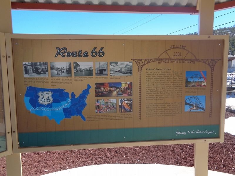
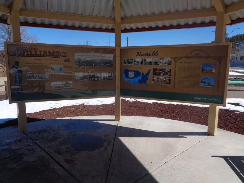
Route 66
Gateway to the Grand Canyon
1925 - Williams had two car camps to service travellers along Route 66 and those going to the Grand Canyon. A car camp consisted of cabins that served as both a garage and sleeping quarters.
1936 - An early gas station on Route 66 after a snowfall. This building was originally a store front that was converted to a gas station. It became a parts store and was later refurbished and opened as a restaurant.
1938 - A view of downtown Williams on Route 66 looking east from the northwest corner of 3rd Street.
1940 - The Sultana Movie Theater located on Route 66.
1940 - Route 66 through downtown Williams from 2nd Street looking east.
Route 66 was commissioned by the Federal Highway Administration on November 11, 1926. It stretched 2,451 miles from Chicago to Los Angeles (Santa Monica). The last link of Interstate 40 opened at Williams on October 13th, 1984. For all practical purposes this was the demise of Route 66. It truly became historic on June 27th, 1985 when the Federal Highway Administration decommissioned it.
Williams' Gateway Arches
The first arch on Grand Canyon Boulevard was constructed as a community project in 2009. The Arizona State Railroad Museum, City of Williams, Burlington Northern Santa Fe Railway, Grand Canyon Railway, Arizona Public Service, and Arizona Department of Transportation all contributed to the project. The second arch over East Route 66 again became a community project through the generosity of an anonymous donor in 2013, and involved the Arizona State Railroad Museum, City of Williams, Burlington Northern Santa Fe Railway, Grand Canyon Railway, and various contractors. Contributions by City of Williams staff and talented employees were critical to the success of the project. The arches are constructed utilizing four 100-year old Santa Fe Railway cantilever signal structures that BNSF donated to the Museum. These structures held signal lights that regulated train movements in Arizona and New Mexico districts on the Santa Fe and Burlington Northern Santa Fe railroads until replaced by more modern signals and communications.
2013 - The center span between the two cantilevers is about 20 feet on the gateway over Route 66, compared to about 12 feet on the original over Grand Canyon Boulevard.
2013 - Workers installing the gateway's cantilevers.
Topics and series. This historical marker is listed in these topic lists: Industry & Commerce • Roads & Vehicles. In addition, it is included in the U.S. Route 66 series list. A significant historical date for this entry is June 27, 1985.
Location. 35° 15.181′ N, 112° 10.997′ W. Marker
is in Williams, Arizona, in Coconino County. Marker is on East Bill Williams Avenue (Old U.S. 66) west of North Pine Street, on the right when traveling west. Touch for map. Marker is at or near this postal address: 7665 N Pine St, Williams AZ 86046, United States of America. Touch for directions.
Other nearby markers. At least 8 other markers are within walking distance of this marker. Williams, Arizona (here, next to this marker); DelSue Motor Inn (approx. 0.2 miles away); Adam's Grocery (approx. 0.3 miles away); Crowe-McCoy Building (approx. 0.3 miles away); Black and White Cleaners (approx. 0.3 miles away); Tetzlaff Building (approx. 0.3 miles away); Old Post Office (approx. 0.3 miles away); The Cabinet Saloon (approx. 0.3 miles away). Touch for a list and map of all markers in Williams.
Credits. This page was last revised on March 9, 2022. It was originally submitted on March 9, 2022, by Jason Voigt of Glen Carbon, Illinois. This page has been viewed 241 times since then and 25 times this year. Photos: 1, 2. submitted on March 9, 2022, by Jason Voigt of Glen Carbon, Illinois.

