North Riverdale in the Bronx in Bronx County, New York — The American Northeast (Mid-Atlantic)
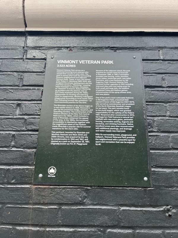
Vinmont Veteran Park
3.523 Acres
Vinmont Veteran Park serves as a memorial honoring local veterans who served their country in past wars. the park is named after both the surrounding Vinmont neighborhood and adjacent Vinmont Road. These, in turn, are named after Robert C. Weinberg (1902-1974), who designed the private development and the road that serves it. "Weinberg," meaning "wine mountain" in German, translates to "vinmont" in French. Robert Weinberg, an architect and city planner, was an NYC Parks employee during the 1930s. Responsible for locating and selecting sites for playgrounds, Weinberg redesigned playgrounds according to local needs rather than following formula-like guidelines—an unconventional practice for the time.
The Riverdale section of the Bronx began as a real estate venture in 1856, financed in part by the prominent Dodge, Goodrich, and Spaulding families. The construction of the Hudson Division of the New York Central Railroad in the 1850s, which included a stop in Riverdale, enhanced the appeal of the area. In the 1860s, the increased accessibility to Manhattan together with the magnificent views of the Hudson made Riverdale a popular site for summer mansions for the city's elite.
This parkland, bounded by Riverdale and Mosholu Avenue and West 254th and 256th Streets, was acquired by the city by condemnation in 1945 and 1947, and opened as a park on September 26, 1951. Originally known as P.S. 81 Playground because of the adjacent school, the park acquired its current name by local law in November 1986. In 1992 a renovation provided new fencing, curbs, benches, picnic tables, landscape work, new water fountains, and a new backstop for Sid Augarten Field. Vinmont Veteran Park received further upgrades in 2002 including improved play units and swing areas for both small and large kids., the addition of painted Potsy and Nations games, reconstruction of the spray shower area, and new plants.
One of the park's most noticeable features is Sid Augarten Field, a baseball field named in honor of Sid Augarten (1927-1971), who served as commissioner and president of the North Riverdale Baseball League for ten years. The park remains home to the youth league, which was granted responsibility for the upkeep of the field in 1993. Reopened after construction in 2013, Sid Augarten Field features a natural turf ballfield with new entry gates, perimeter fencing, accessible seating, dugouts and backstop, and drinking fountains. Native woodland areas were also reconstructed with additional plantings, and drainage and water supply was improved.
With its surrounding trees, playground, and ballpark, Vinmont Veterans Park provides the neighborhood with a peaceful spot and recreation that can
Erected by NYC Parks.
Topics and series. This historical marker is listed in these topic lists: Parks & Recreational Areas • Railroads & Streetcars • Settlements & Settlers • Sports. In addition, it is included in the NYC Parks series list. A significant historical date for this entry is September 26, 1951.
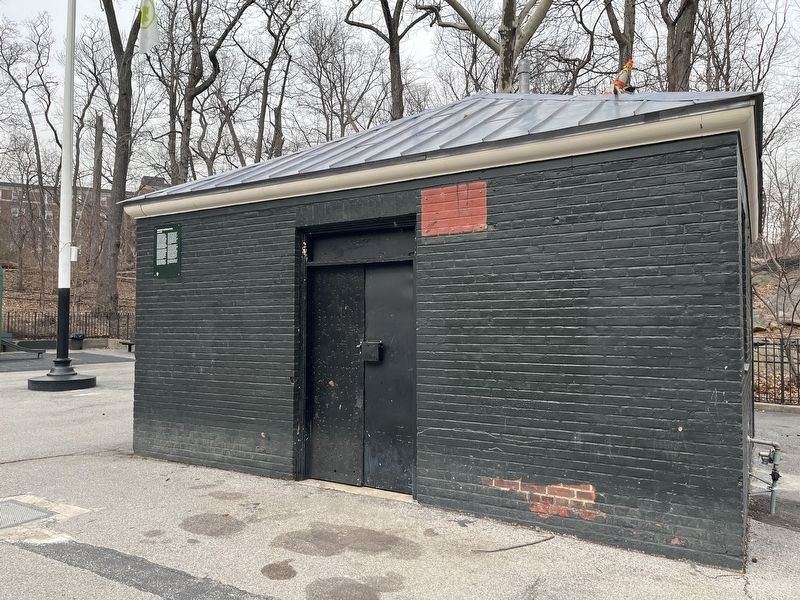
Location. 40° 54.127′ N, 73° 54.294′ W. Marker is in Bronx, New York, in Bronx County. It is in North Riverdale. Marker is at the intersection of Mosholu Avenue and West 254th Street, on the left when traveling north on Mosholu Avenue. Touch for map. Marker is at or near this postal address: 5401 Mosholu Ave, Bronx NY 10471, United States of America. Touch for directions.
Other nearby markers. At least 8 other markers are within walking distance of this marker. Henry Louis "Lou" Gehrig (approx. 0.2 miles away); Riverdale Presbyterian Church (approx. half a mile away); Sgt. John Basilone (approx. 0.8 miles away); Memorial Grove (approx. 0.8 miles away); Van Cortlandt House Museum (approx. 0.9 miles away); Major General Porter (approx. 0.9 miles away); Prison Window (approx. 0.9 miles away); Adoption of the Constitution (approx. 0.9 miles away). Touch for a list and map of all markers in Bronx.
Credits. This page was last revised on January 31, 2023. It was originally submitted on March 10, 2022, by Devry Becker Jones of Washington, District of Columbia. This page has been viewed 158 times since then and 8 times this year. Photos: 1, 2. submitted on March 10, 2022, by Devry Becker Jones of Washington, District of Columbia.

