Saltville in Smyth County, Virginia — The American South (Mid-Atlantic)
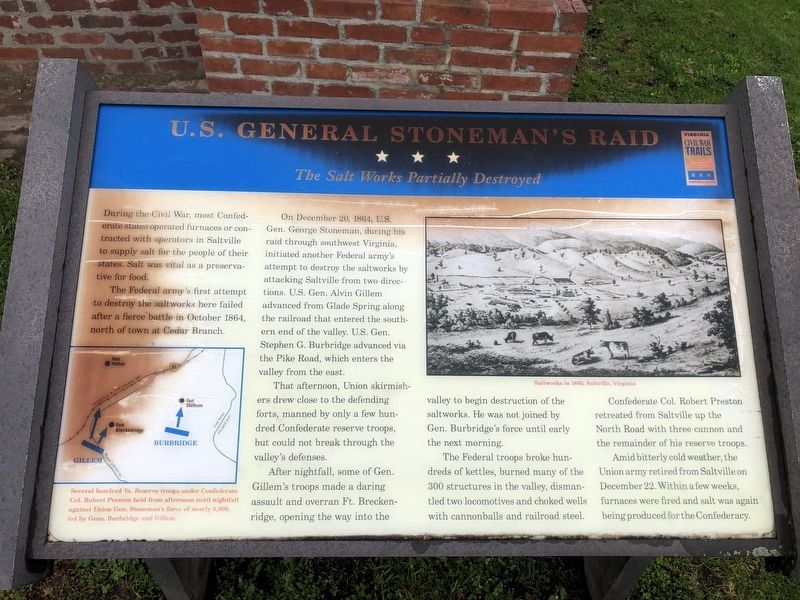
U.S. General Stoneman's Raid
The Salt Works Partially Destroyed
The Federal army's first attempt to destroy the saltworks here failed after a fierce battle in October 1864, north of town at Cedar Branch.
On December 20, 1864, U.S Gen. George Stoneman, during his raid through southwest Virginia, initiated another Federal army's attempt to destroy the saltworks by attacking Saltville from two directions. U.S. Gen. Alvin Gillem advanced from Glade Spring along the railroad that entered the southern end of the valley. U.S. Gen. Stephen G. Burbridge advanced via the Pike Road, which enters the valley from the east.
That afternoon, Union skirmishers drew close to the defending forts, manned by only a few hundred Confederate reserve troops, but could not break through the valley's defenses.
After nightfall, some of Gen. Gillem's troops made a daring assault and overran Ft. Breckenridge, opening the way into the valley to begin destruction of the saltworks. He was not joined by Gen. Burbridge's force until early the next morning.
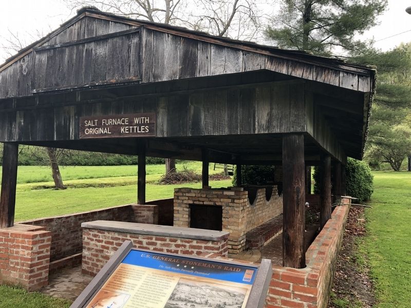
The Federal troops broke hundreds of kettles, burned many of the 300 structures in the valley, dismantled two locomotives and choked wells with cannonballs and railroad steel.
Confederate Col. Robert Preston retreated from Saltville up the North Road with three cannon and the remainder of his reserve troops.
Amid bitterly cold weather, the Union army retired from Saltville on December 22. Within a few weeks, furnaces were fired and salt was again being produced for the Confederacy.
(captions)
Several hundred Va. Reserve troops under Confederate Col. Robert Preston held from afternoon until nightfall against Union Gen. Stoneman's force of nearly 6,000, led by Gens. Burbridge and Gillem.
Saltworks in 1860, Saltville, Virginia
Erected by Virginia Civil War Trails.
Topics and series. This historical marker is listed in these topic lists: Industry & Commerce • War, US Civil. In addition, it is included in the Virginia Civil War Trails series list. A significant historical date for this entry is December 20, 1864.
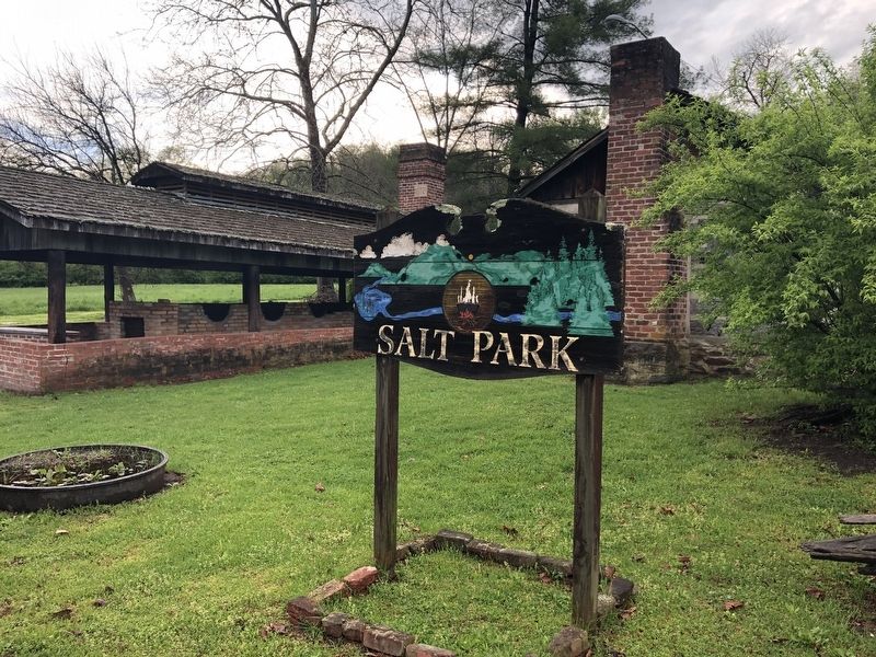
Location. 36° 52.182′ N, 81° 46.715′ W. Marker is in Saltville, Virginia, in Smyth County. Marker is at the intersection of West Main Street and King Avenue, on the right when traveling west on West Main Street. Located in Salt Park. Touch for map. Marker is in this post office area: Saltville VA 24370, United States of America. Touch for directions.
Other nearby markers. At least 8 other markers are within 7 miles of this marker, measured as the crow flies. Saltville Defenses (here, next to this marker); Saltville (approx. 0.8 miles away); History of Saltville Valley (approx. 1.2 miles away); Battle at Cedar Branch (approx. 2.1 miles away); Fort Kilmachronan (approx. 6.4 miles away); Sulphur Springs Church and Campground (approx. 6˝ miles away); Brig. Gen. William E. "Grumble" Jones, C.S.A. (approx. 7.1 miles away); Mrs. Eliza M. Jones (approx. 7.1 miles away). Touch for a list and map of all markers in Saltville.
Credits. This page was last revised on March 14, 2022. It was originally submitted on March 10, 2022, by Pete Skillman of Townsend, Delaware. This page has been viewed 235 times since then and 40 times this year. Photos: 1, 2, 3. submitted on March 10, 2022, by Pete Skillman of Townsend, Delaware. • Bernard Fisher was the editor who published this page.


