Flushing in Queens in Queens County, New York — The American Northeast (Mid-Atlantic)
Kingsland Homestead
143-35 37th Ave.
— Historic House Trust - New York City —
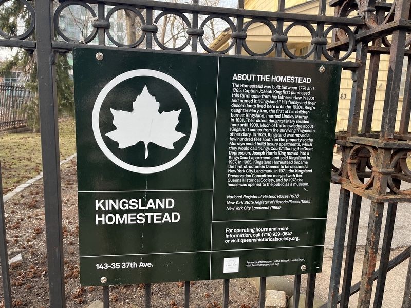
About the Homestead
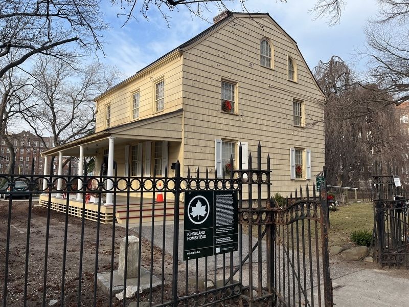
The Homestead was built between 1774 and 1785. Captain Joseph King first purchased this farmhouse from his father-in-law in 1801 and named it "Kingsland." His family and their descendants lived here until the 1930s. King's daughter Mary Ann, the first of his children born at Kingsland, married Lindley Murray in 1831. Their oldest daughter Mary resided here until 1908. Much of the knowledge about Kingsland comes from the surviving fragments of her diary. In 1926, Kingsland was moved a few hundred feet south on the property so the Murrays could build luxury apartments, which they would call "Kings Court." During the Great Depression, Joseph Harris King moved into a Kings Court apartment, and sold Kingsland in 1937. In 1965, Kingsland Homestead became the first structure in Queens to be declared a New York City Landmark. In 1971, the Kingsland Preservation Committee merged with the Queens Historical Society, and by 1973 the house was opened to the public as a museum.
National Register of Historic Places (1972)
New York State Register of Historic Places (1980)
New York City Landmark (1965)
For operating hours and more information, call (718) 939-0647 or visit queenshistoricalsociety.org.
Erected by NYC Parks. (Marker Number 1100.)
Topics and series. This historical marker is listed in these topic lists: Colonial Era • Landmarks • Settlements & Settlers. In addition, it is included in the NYC Parks series list. A significant historical year for this entry is 1774.
Location. 40° 45.808′ N, 73° 49.455′ W. Marker is in Queens, New York, in Queens County. It is in Flushing. Marker is on 37th Avenue, 0.1 miles west of Parsons Boulevard, on the right when traveling west. Touch for map. Marker is at or near this postal address: 143-35 37th Avenue, Flushing NY 11354, United States of America. Touch for directions.
Other nearby markers. At least 8 other markers are within walking distance of this marker. A different marker also named Kingsland Homestead (here, next to this marker); Kingsland (a few steps from this marker); The Weeping Beech Tree (within shouting distance of this marker); a different marker also named The Weeping Beech Tree (within shouting distance of this marker); John Bowne House (about 300 feet away, measured in a direct line); Margaret Carman Green (about 300 feet away); The Bowne House (about 300 feet away); a different marker also named Bowne House (about 300 feet away). Touch for a list and map of all markers in Queens.
Credits. This page was last revised on September 12, 2023. It was originally submitted on March 10, 2022, by Devry Becker Jones of Washington, District of Columbia. This page has been viewed 79 times since then and 8 times this year. Photos: 1, 2. submitted on March 10, 2022, by Devry Becker Jones of Washington, District of Columbia.

