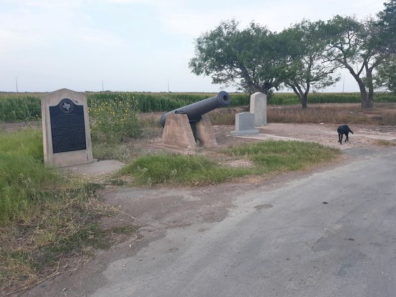
Near Santa Maria in Cameron County, Texas — The American South (West South Central)
Near Routes of Alonso de Leon Expeditions
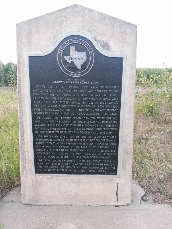
Spain's desire to colonize this area of the New World in the late 17th century was spurred by the fear that French adventurer Rene La Salle, who had landed on the Texas coast in 1684, was claiming vast areas for its bitter rival, France. In 1685, Spain's Mexican Viceroy directed Alonso de Leon to lead expeditions against French encroachment and protect Spain's claim by initiating the colonization of Texas.
De Leon's first expedition in 1686 followed the Rio San Juan to the mouth of the Rio Grande. In 1687 his second expedition crossed the Rio Grande near present-day Roma, made its way to the river's mouth, and proceeded up the coast to near Los Olmos Creek and Baffin Bay.
On his third expedition in 1688 de Leon captured Frenchman Jean Henri near present-day Bracketville. Convinced that the French had settled in Texas, de Leon led a military expedition in 1689 that crossed the Guadalupe river near present-day Victoria before discovering and destroying what remained of La Salle's Fort St. Louis settlement in the Matagorda Bay area.
De Leon led an expedition into southeast Texas in 1690 that established the area's first Spanish mission, San Francisco de Los Tejas, and eventually led to Spain's Great Enterprise of colonizing Texas.
Erected 1995 by Texas Historical Commission. (Marker Number 6042.)
Topics. This historical marker is listed in these topic lists: Colonial Era • Exploration. A significant historical year for this entry is 1864.
Location. 26° 3.716′ N, 97° 47.044′ W. Marker is near Santa Maria, Texas, in Cameron County. Marker is on U.S. 281, on the left when traveling east. Marker is in a roadside park, about 4.5 miles east of Santa Maria. Touch for map. Marker is in this post office area: Santa Maria TX 78592, United States of America. Touch for directions.
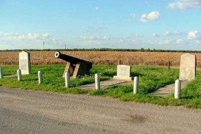
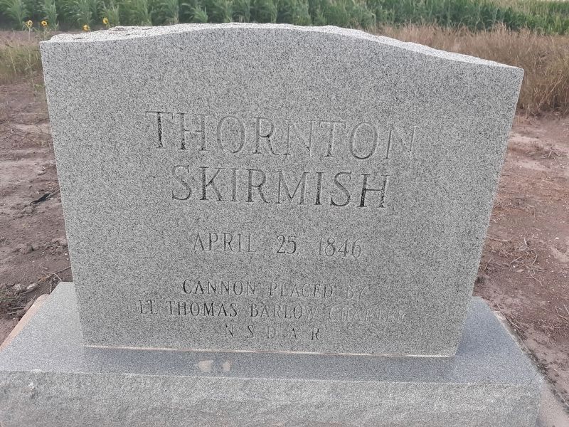
Other nearby markers. At least 8 other markers are within 7 miles of this marker, measured as the crow flies. The Spot Where "American Blood was Shed on American Soil" (here, next to this marker); Las Rucias (approx. 1.7 miles away); Longoria Cemetery (approx. 2.7 miles away); Our Lady of Visitation Catholic Church (approx. 3˝ miles away); Our Lady of Visitation (approx. 3˝ miles away); El Horcon Tract and Rio Rico (approx. 6.8 miles away); First Baptist Church of La Feria (approx. 7 miles away); Site of First Bank in La Feria (approx. 7.1 miles away). Touch for a list and map of all markers in Santa Maria.
Credits. This page was last revised on January 1, 2021. It was originally submitted on May 25, 2009, by Robert E Arnold of Mission, Texas. This page has been viewed 2,215 times since then and 61 times this year. Photos: 1. submitted on January 1, 2021, by Craig Doda of Napoleon, Ohio. 2, 3. submitted on June 18, 2009. 4, 5. submitted on January 1, 2021, by Craig Doda of Napoleon, Ohio. • Kevin W. was the editor who published this page.
