Near Devine in Medina County, Texas — The American South (West South Central)
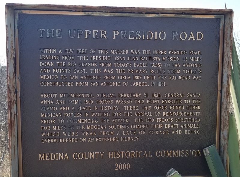
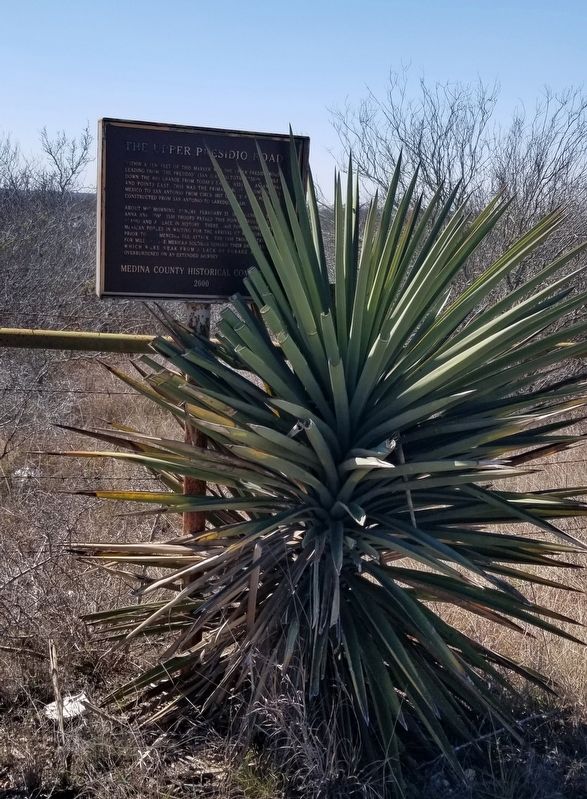
The Upper Presidio Road
About mid-morning, Sunday, February 21, 1836, General Santa Anna and some 1500 troops passed this point enroute to the Alamo and a place in history. There, this force joined other Mexican forces in waiting for the arrival of reinforcements prior to commencing the attack. The 1500 troops stretched for miles as the Mexican soldiers goaded their draft animals, which were weak from a lack of forage and being overburdened on an extended journey.
Erected 2000 by Medina County Historical Commission.
Topics. This historical marker is listed in these topic lists: Hispanic Americans • Roads & Vehicles • War, Texas Independence. A significant historical date for this entry is February 21, 1836.
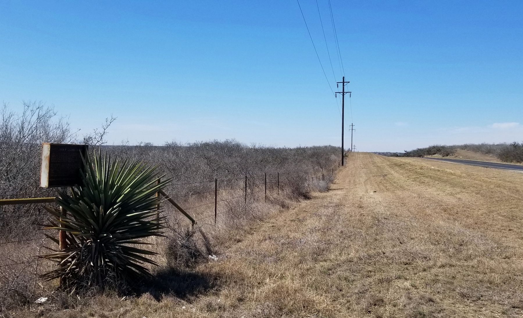
Location. 29° 11.545′ N, 98° 58.326′ W. Marker is near Devine, Texas, in Medina County. Marker is at the intersection of State Highway 173 and County Highway 6644, on the left when traveling north on State Highway 173 . The marker is located on the western side of Hwy 173 along the road. Touch for map. Marker is in this post office area: Devine TX 78016, United States of America. Touch for directions.
Other nearby markers. At least 8 other markers are within 6 miles of this marker, measured as the crow flies. Black Creek Baptist Church (approx. 2.7 miles away); Charco de la Pita (approx. 2.7 miles away); Spanish Exploration in Medina County (approx. 2.7 miles away); Devine Lodge, No. 590 (approx. 5 miles away); First Baptist Church of Devine (approx. 5.2 miles away); Devine Evergreen Cemetery (approx. 5.2 miles away); American Legion Memorial (approx. 5.4 miles away); Last Person Killed by Indians in Medina County (approx. 5.4 miles away). Touch for a list and map of all markers in Devine.
Also see . . . Battle of the Alamo. Texas State Historical Association - Handbook of Texas (Submitted on March 17, 2022, by James Hulse of Medina, Texas.)
Credits. This page was last revised on March 17, 2022. It was originally submitted on March 17, 2022, by James Hulse of Medina, Texas. This page has been viewed 338 times since then and 51 times this year. Photos: 1, 2, 3. submitted on March 17, 2022, by James Hulse of Medina, Texas.


