Arcadia in Los Angeles County, California — The American West (Pacific Coastal)
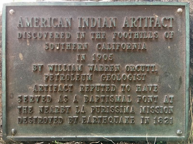
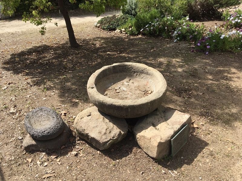
American Indian Artifact
Topics. This historical marker is listed in these topic lists: Churches & Religion • Native Americans. A significant historical year for this entry is 1905.
Location. 34° 8.428′ N, 118° 3.204′ W. Marker is in Arcadia, California, in Los Angeles County. Marker can be reached from Baldwin Avenue, 0.3 miles south of Interstate 210, on the right when traveling south. Located in the Los Angeles County Arboretum and Botanic Garden, open daily 9-5. Admission. Touch for map. Marker is at or near this postal address: 301 N Baldwin Ave, Arcadia CA 91007, United States of America. Touch for directions.
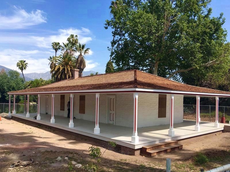
Other nearby markers. At least 8 other markers are within walking distance of this marker. Reid-Baldwin Adobe (within shouting distance of this marker); Santa Anita Depot (within shouting distance of this marker); Queen Anne Cottage (about 300 feet away, measured in a direct line); Baldwin Lake (about 400 feet away); Cycads (about 600 feet away); Hollywood at the Arboretum (about 700 feet away); Los Angeles County Arboretum & Botanic Garden (approx. ¼ mile away); Santa Anita During World War II (approx. 0.4 miles away). Touch for a list and map of all markers in Arcadia.
Related markers. Click here for a list of markers that are related to this marker. - Orcutt’s home, and La Purisima Mission destroyed by earthquake.
Credits. This page was last revised on January 30, 2023. It was originally submitted on March 17, 2022, by Craig Baker of Sylmar, California. This page has been viewed 242 times since then and 35 times this year. Photos: 1, 2, 3. submitted on March 17, 2022, by Craig Baker of Sylmar, California.


