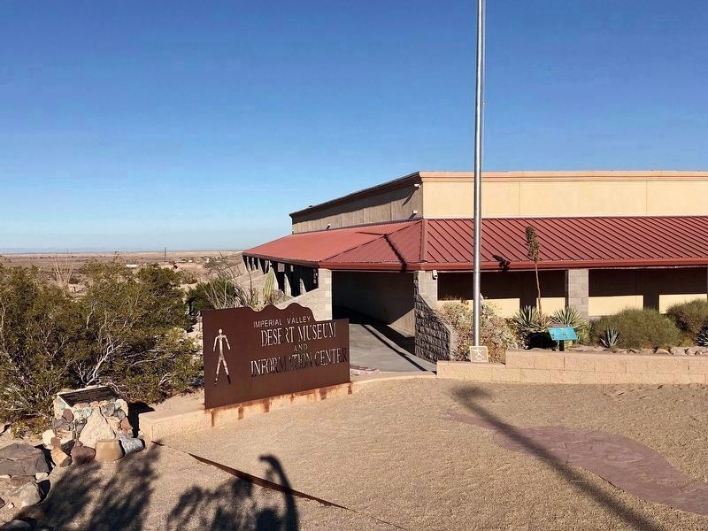
Near Ocotillo in Imperial County, California — The American West (Pacific Coastal)
Geoglyphs
Imperial Valley Desert Museum
— Español: Geoglifos — Kumeyaay: Matt Uumall —
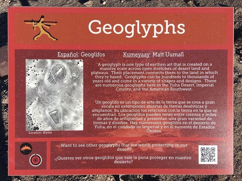
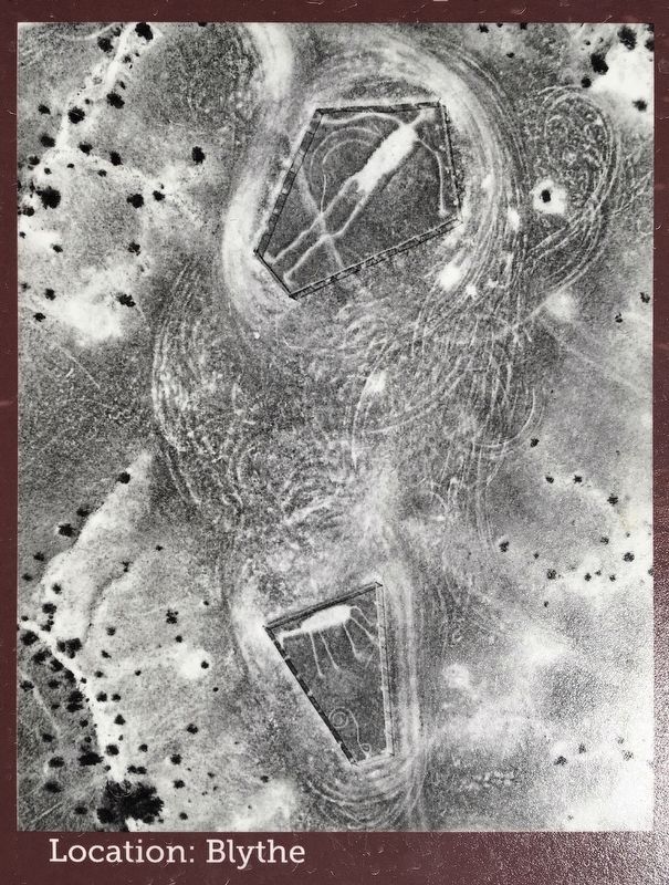
A geoglyph is one type of earthen art that is created on a massive scale across open stretches of desert land and plateaus. Their placement connects them to the land in which they're based. Geoglyphs can be hundreds to thousands of years old and come in a variety of shapes and designs. There are numerous geoglyphs here in the Yuha Desert, Imperial County, and the American Southwest.
Un geoglifo es un tipo de arte de la tierra que se crea a gran escala en extensiones abiertas de tierras desérticas y altiplanos. Su ubicación los relaciona con la tierra en la que se encuentran. Los geoglifos pueden tener entre cientos y miles de años de antigüedad y presentan una gran variedad de formas y diseños. Hay numerosos geoglifos en el desierto de Yuha, en el condado de Imperial y en el suroeste de Estados Unidos.
Topics. This historical marker is listed in these topic lists: Anthropology & Archaeology • Native Americans.
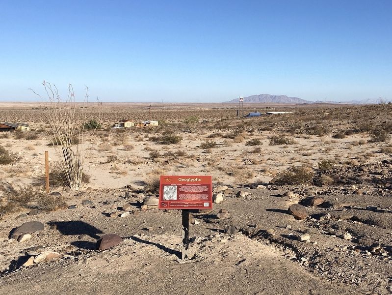
Location. 32° 43.915′ N, 115° 59.932′ W. Marker is near Ocotillo, California, in Imperial County. Marker is on Frontage Road, 0.3 miles west of Imperial Highway, on the left when traveling west. Touch for map. Marker is at or near this postal address: 11 Frontage Rd, Ocotillo CA 92259, United States of America. Touch for directions.
Other nearby markers. At least 6 other markers are within 8 miles of this marker, measured as the crow flies. Imperial Valley Desert Museum (within shouting distance of this marker); De Anza Overlook (approx. 6.2 miles away); Yuha Well (approx. 7.2 miles away); The Impossible Railroad (approx. 7.6 miles away); Mountain Springs Station Site (approx. 7.7 miles away); Desert Tower (approx. 7.7 miles away).
Also see . . . Imperial Valley Desert Museum website. (Submitted on March 18, 2022.)
Credits. This page was last revised on September 27, 2023. It was originally submitted on March 18, 2022, by Craig Baker of Sylmar, California. This page has been viewed 488 times since then and 90 times this year. Photos: 1, 2, 3, 4, 5. submitted on March 18, 2022, by Craig Baker of Sylmar, California.
