Liberty Grove in Door County, Wisconsin — The American Midwest (Great Lakes)
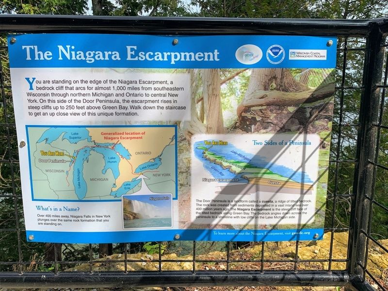
The Niagara Escarpment
What's in a Name?
Over 400 miles away, Niagara Falls in New York plunges over the same rock formation that you are standing on.
Two Sides of a Peninsula
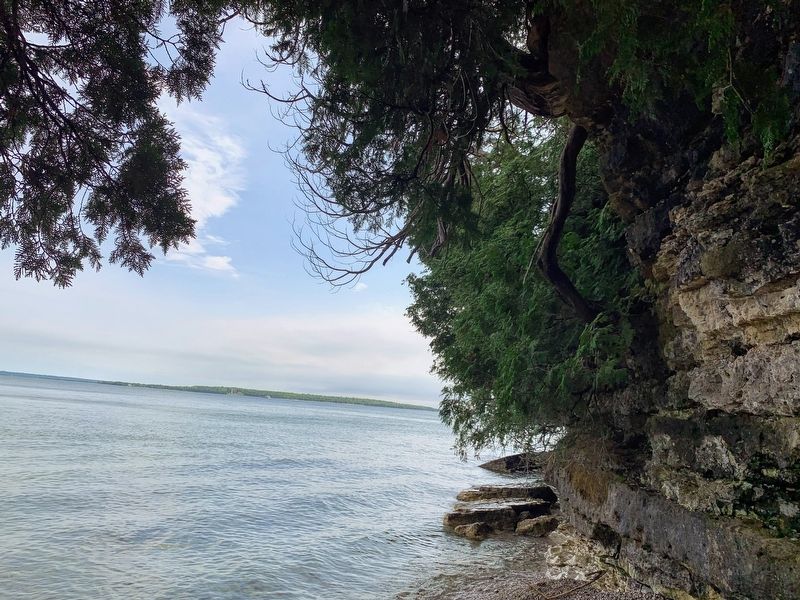
The Door Peninsula is a landform called a cuesta, a ridge of tilted bedrock. The rock was created from sediments deposited in a vast inland sea over 400 million years ago. The Niagara Escarpment is the steep cliff face of the tilted bedrock along Green Bay. The bedrock angles down across the peninsula to a shoreline with low cliffs on the Lake Michigan side.
Erected by GEO-DC, NOAA, and Wisconsin Coastal Management Program.
Topics. This historical marker is listed in this topic list: Natural Features.
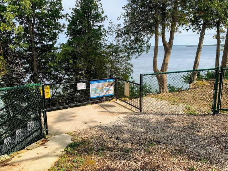
Location. 45° 17.734′ N, 86° 59.194′ W. Marker is in Liberty Grove, Wisconsin, in Door County. The marker is in Port des Morts Park and is located at the start of the stairway that leads down the cliff. Touch for map. Marker is at or near this postal address: Port des Morts Park, 12832 Kenosha Drive, Ellison Bay WI 54210, United States of America. Touch for directions.
Other nearby markers. At least 8 other markers are within 2 miles of this marker, measured as the crow flies. Ancient Shorelines (here, next to this marker); Town of Liberty Grove (a few steps from this marker); Pilot Island Site (approx. 0.6 miles away); Rudder from the "City of Glasgow" (approx. 1.7 miles away); Air Funnel (approx. 1.7 miles away); The Skipper (approx. 1.7 miles away); The Fishtug Skipper (approx. 1.7 miles away); Anchor (approx. 1.7 miles away). Touch for a list and map of all markers in Liberty Grove.
Credits. This page was last revised on March 20, 2022. It was originally submitted on March 20, 2022, by Devon Polzar of Port Washington, Wisconsin. This page has been viewed 155 times since then and 10 times this year. Photos: 1, 2, 3. submitted on March 20, 2022, by Devon Polzar of Port Washington, Wisconsin. • J. Makali Bruton was the editor who published this page.


