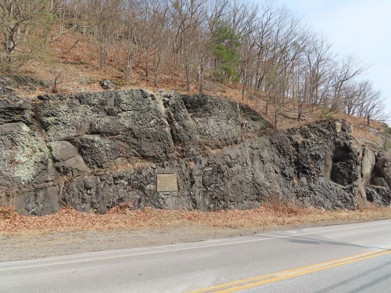
Port Jervis in Orange County, New York — The American Northeast (Mid-Atlantic)
Park Avenue
Constructed 1933
To Provide Employment for the Residents of the
City of Port Jervis
Wendell E. Phillips, Mayor
Fred M. Davis, Alderman-at-Large
Aldermen
The opening of this parkway marked the first use in the world of sodium vapor lamps in an ornamental system of highway illumination
Topics. This historical marker is listed in this topic list: Roads & Vehicles. A significant historical year for this entry is 1933.
Location. 41° 22.77′ N, 74° 41.848′ W. Marker is in Port Jervis, New York, in Orange County. Marker is on Park Avenue (New York State Route 42) north of W Main Street, on the right when traveling north. Touch for map. Marker is in this post office area: Port Jervis NY 12771, United States of America. Touch for directions.
Other nearby markers. At least 8 other markers are within walking distance of this marker. Upper Delaware Scenic Byway (a few steps from this marker); Port Jervis (within shouting distance of this marker); Tow Path (about 300 feet away, measured in a direct line); Fort Decker (approx. 0.2 miles away); Fort Burned by Indians (approx. ¼ mile away); Decker Fort (approx. ¼ mile away); Erie Turntable (approx. ¼ mile away); Bridge Ca. 1855 (approx. 0.4 miles away). Touch for a list and map of all markers in Port Jervis.
Credits. This page was last revised on March 22, 2022. It was originally submitted on March 22, 2022, by Michael Herrick of Southbury, Connecticut. This page has been viewed 132 times since then and 6 times this year. Photos: 1, 2. submitted on March 22, 2022, by Michael Herrick of Southbury, Connecticut.

