Near Blanco in Blanco County, Texas — The American South (West South Central)
Peyton Colony (Board House)
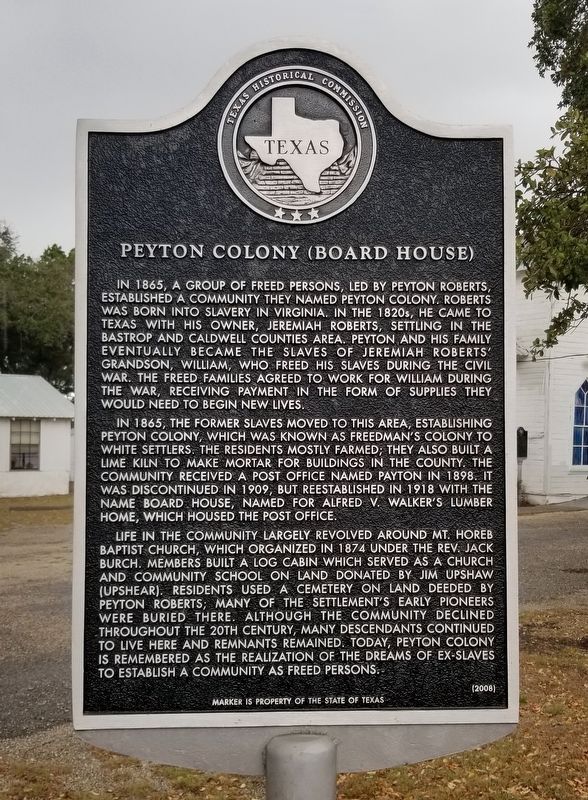
In 1865, the former slaves moved to this area, establishing Peyton Colony, which was known as Freedman's Colony to white settlers. The residents mostly farmed; they also built a lime kiln to make mortar for buildings in the county. The community received a post office named Payton in 1898. It was discontinued in 1909, but reestablished in 1918 with the name Board House, named for Alfred V. Walker's lumber home, which housed the post office.
Life in the community largely revolved around Mt. Horeb Baptist Church, which organized in 1874 under the Rev. Jack Burch. Members built a log cabin which served as a church and community school on land donated by Jim Upshaw (Upshear). Residents used a cemetery on land deeded by Peyton Roberts; many of the settlement's early pioneers were buried there. Although the community declined throughout the 20th century, many descendants continued to live here and remnants remained. Today, Peyton Colony is remembered as the realization of the dreams of ex-slaves to establish a community as freed persons.
Erected 2008 by Texas Historical Commission. (Marker Number 16132.)
Topics. This historical marker is listed in these topic lists: African Americans • Agriculture • Industry & Commerce • Settlements & Settlers. A significant historical year for this entry is 1865.
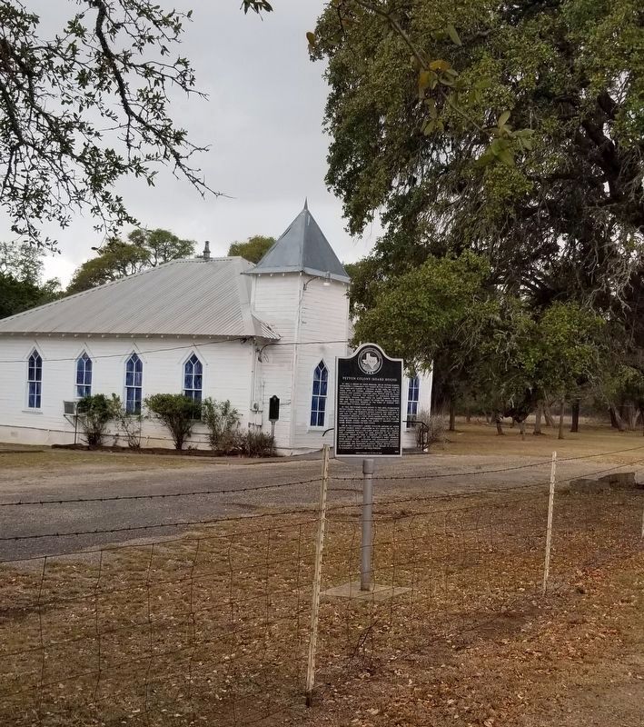
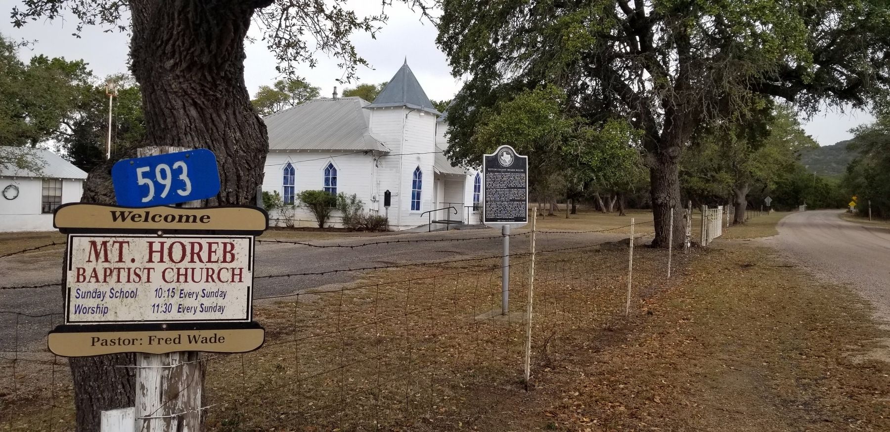
Location. 30° 7.259′ N, 98° 18.46′ W. Marker is near Blanco, Texas, in Blanco County. Marker is on Peyton Colony Road, 0.2 miles north of Farm to Market Road 165, on the left when traveling north. The marker is located along the road in front of Mt. Horeb Baptist Church. Touch for map. Marker is at or near this postal address: 593 Peyton Colony Road, Blanco TX 78606, United States of America. Touch for directions.
Other nearby markers. At least 8 other markers are within 7 miles of this marker, measured as the crow flies. Mt. Horeb Baptist Church (a few steps from this marker); Thomas C. and Eliza V. Felps (approx. 5.4 miles away); Amenthal (approx. 6.6 miles away); Blanco Cemetery (approx. 6.9 miles away); Jesse L. McCrocklin (approx. 6.9 miles away); Blanco High School
(approx. 6.9 miles away); Old Blanco County Courthouse (approx. 7 miles away); Adrian Edwards Conn Home (approx. 7.1 miles away). Touch for a list and map of all markers in Blanco.
Also see . . . Peyton, TX (Blanco County). Texas State Historical Association - Handbook of Texas (Submitted on March 22, 2022, by James Hulse of Medina, Texas.)
Credits. This page was last revised on March 23, 2022. It was originally submitted on March 22, 2022, by James Hulse of Medina, Texas. This page has been viewed 307 times since then and 54 times this year. Photos: 1, 2, 3. submitted on March 23, 2022, by James Hulse of Medina, Texas.


