Zanesville in Muskingum County, Ohio — The American Midwest (Great Lakes)
Zanesville
The Historic National Road in Ohio
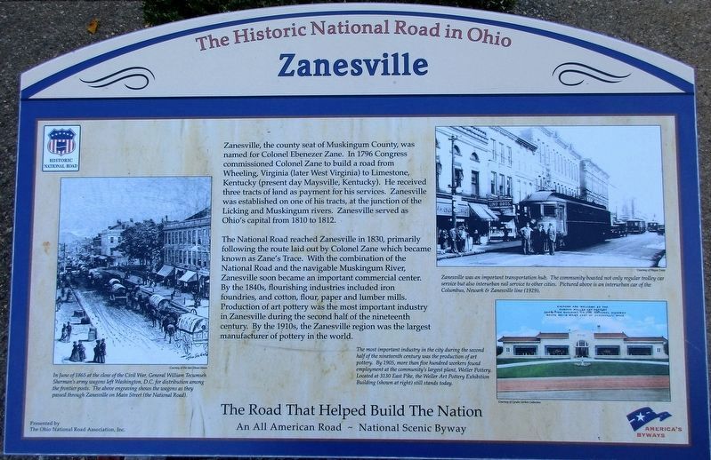
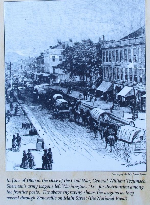
The National Road reached Zanesville in 1830, primarily following the route laid out by Colonel Zane which became known as Zane’s Trace. With the combination of the National Road, and the navigable Muskingum River, Zanesville soon became an important commercial center. By the 1840’s, flourishing industries included iron foundries, and cotton, flour, paper and lumber mills. Production of art pottery was the most important industry in Zanesville during the second half of the nineteenth century. By the 1910’s, the Zanesville region was the largest manufacturer of pottery in the world.
Erected 2011 by The Ohio National Road Association, Inc.
Topics and series. This historical marker is listed in these topic lists: Exploration • Industry & Commerce • Roads & Vehicles. In addition, it is included in the The Historic National Road series list.
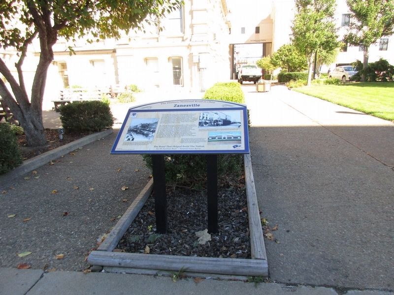
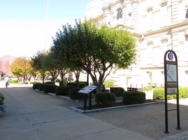
Location. 39° 56.413′ N, 82° 0.429′ W. Marker is in Zanesville, Ohio, in Muskingum County. Marker is at the intersection of Old National Road (U.S. 40), on the right when traveling west on Old National Road. marker is in front of the Muskingum County Courthouse. Touch for map. Marker is at or near this postal address: 401 Main Street, Zanesville OH 43701, United States of America. Touch for directions.
Other nearby markers. At least 8 other markers are within walking distance of this marker. The History of Zanesville (here, next to this marker); Combat Wounded Veterans (a few steps from this marker); Second Capital of Ohio (a few steps from this marker); First National Bank (within shouting distance of this marker); World War II Memorial (within shouting distance of this marker); Veterans Memorial (within shouting distance of this marker); World War Memorial (within shouting distance of this marker); Ohio Flag Unit (within shouting distance of this marker). Touch for a list and map of all markers in Zanesville.
Additional keywords. Old National Road
Credits. This page was last revised on March 23, 2022. It was originally submitted on October 12, 2016, by Rev. Ronald Irick of West Liberty, Ohio. This page has been viewed 594 times since then and 25 times this year. Last updated on March 23, 2022, by Carl Gordon Moore Jr. of North East, Maryland. Photos: 1, 2, 3, 4, 5. submitted on October 12, 2016, by Rev. Ronald Irick of West Liberty, Ohio. • J. Makali Bruton was the editor who published this page.
