Fort Washington in Prince George's County, Maryland — The American Northeast (Mid-Atlantic)
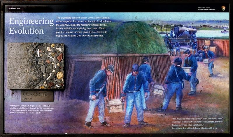
Engineering Evolution
Photographed by Allen C. Browne, November 29, 2021
1. Engineering Evolution Marker
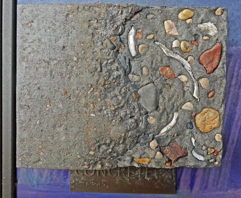
Captions: The magazine is fragile. Help preserve the fort by not touching or climbing on it. Instead, feel the bumpy texture of this replica concrete. Soldiers mixed small stones and oyster shells to make the concrete locally.
“The magazines are perfectly dry, and no complaints were ever made of ammunition having been damaged, either by leakage or by imperfect ventilation.”
Brevet Major General John G. Barnard, Engineer, US Army
Topics. This historical marker is listed in these topic lists: Forts and Castles • War, US Civil.
Location. 38° 46.085′ N, 77° 1.747′ W. Marker is in Fort Washington, Maryland, in Prince George's County. It can be reached from Fort Foote Road. Touch for map. Marker is in this post office area: Fort Washington MD 20744,
this page online

Regionally, this marker is in the Washington Metropolitan Area. It is also in the American South, specifically in the Upper South, in the Mid-Atlantic, and on the Eastern Seaboard. Globally, it is in the North Atlantic Region, North America, the Western Hemisphere, the Western World, and the Anglosphere. Historically, it finds itself in what was once one of the original Thirteen Colonies and also the Antebellum South.
Other nearby markers. At least 8 other markers are within walking distance of this marker: Load. Ready. Fire! (within shouting distance of this marker); Capital View (within shouting distance of this marker); Ironclad Killer (within shouting distance of this marker); Another Shot (within shouting distance of this marker); Reporting for Duty (about 300 feet away, measured in a direct line); New Forts for a New War (about 400 feet away); Welcome To Fort Foote (about 700 feet away); A Fine Improvable Marsh (approx. 0.9 miles away in Virginia). Touch for a list and map of all markers in Fort Washington.
Other markers no longer nearby. 15-inch Rodman Smoothbore
Photographed by Allen C. Browne, November 29, 2021
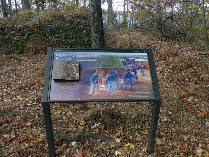
2. Engineering Evolution Marker
Photographed by Allen C. Browne, November 29, 2021
3. Concrete
Photographed by Allen C. Browne, November 29, 2021
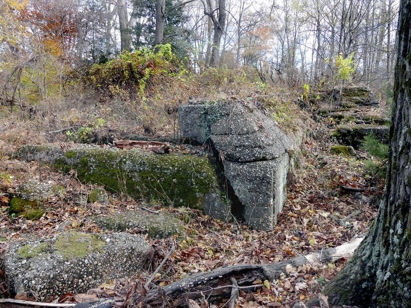
4. The Magazine
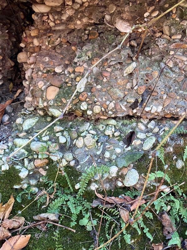
Photographed by Allen C. Browne, November 29, 2021
5. Ebony Spleenwort
growing in the concrete of the ruined magazine.
Credits. This page was last revised on March 26, 2022. It was originally submitted on December 1, 2021, by Allen C. Browne of Silver Spring, Maryland. This page has been viewed 242 times since then and 14 times this year. Last updated on March 24, 2022, by Connor Olson of Menomonee Falls, Wisconsin. Photos: 1, 2, 3, 4, 5. submitted on December 1, 2021, by Allen C. Browne of Silver Spring, Maryland. • J. Makali Bruton was the editor who published this page.
