Upper Sandusky in Wyandot County, Ohio — The American Midwest (Great Lakes)
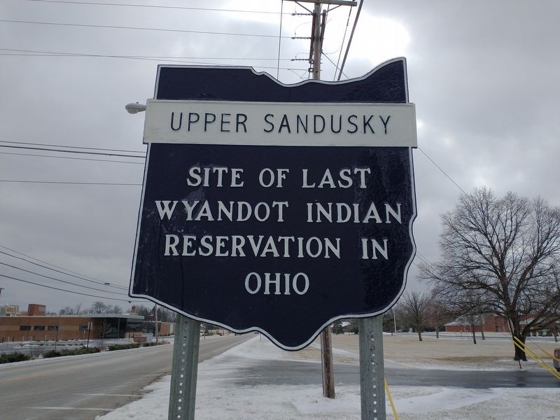
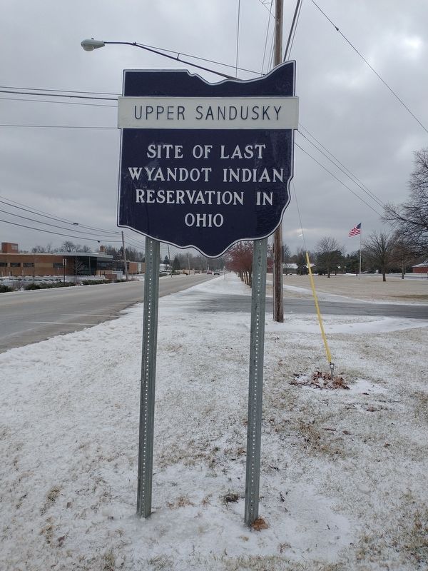
Upper Sandusky
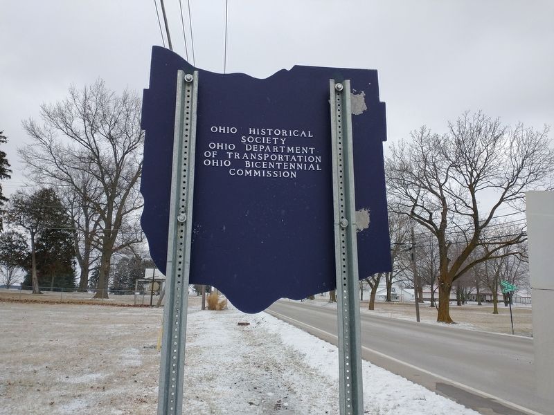
Erected by Ohio Historical Society-Ohio Department Of Transportation-Ohio Bicentennial Commission.
Topics and series. This historical marker is listed in these topic lists: Native Americans • Settlements & Settlers. In addition, it is included in the Ohio Historical Society / The Ohio History Connection series list.
Location. 40° 50.529′ N, 83° 16.848′ W. Marker is in Upper Sandusky, Ohio, in Wyandot County. Marker is at the intersection of North Sandusky Avenue (Route 53) and Indian Mill Drive (County Road 50), on the left when traveling north on North Sandusky Avenue. Touch for map. Marker is at or near this postal address: 810 N Sandusky Ave, Upper Sandusky OH 43351, United States of America. Touch for directions.
Other nearby markers. At least 8 other markers are within walking distance of this marker. "Enjoy The Day” Bench (approx. ¼ mile away); Wyandot County's WWI Veterans Memorial Bench (approx. 0.3 miles away); Wyandot County's WWII Veterans Memorial Bench (approx. 0.3 miles away); PFC William Naus Memorial (approx. 0.3 miles away); Wyandot County's Cold War Veterans Memorial Bench (approx. 0.3 miles away); Wyandot County's Korean War Veterans Memorial Bench (approx. 0.3 miles away); Wyandot County's Persian Gulf War Veterans Memorial Bench (approx. 0.3 miles away); Wyandot County Veterans Memorial (approx. 0.3 miles away). Touch for a list and map of all markers in Upper Sandusky.
Additional keywords. Forced relocation
Credits. This page was last revised on March 25, 2022. It was originally submitted on March 24, 2022, by Craig Doda of Napoleon, Ohio. This page has been viewed 91 times since then and 9 times this year. Photos: 1, 2, 3. submitted on March 24, 2022, by Craig Doda of Napoleon, Ohio. • Devry Becker Jones was the editor who published this page.


