Frankfort in Franklin County, Kentucky — The American South (East South Central)
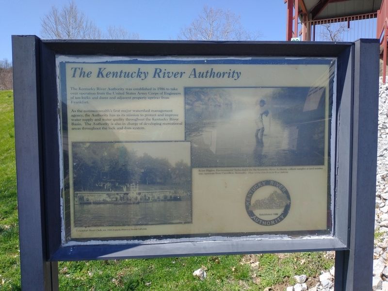
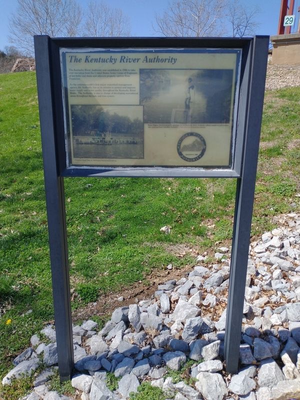
The Kentucky River Authority
As the commonwealth's first major watershed management agency, the Authority has as its mission to protect and improve water supply and water quality throughout the Kentucky River Basin. The Authority is also in charge of developing recreational areas throughout the lock and dam system.
Photo captions:
Right: Brian Higgins, Environmental Technologist for the Kentucky River Authority collects samples at pool number one, upstream from Carrollton, Kentucky. Photo courtesy of the Kentucky River Authority.
Left: Frankfort Boat Club, ca. 1918 Kentucky Historical Society Collection.
Erected by Kentucky River Authority.
Topics. This historical marker is listed in these topic lists: Parks & Recreational Areas • Waterways & Vessels. A significant historical year for this entry is 1986.
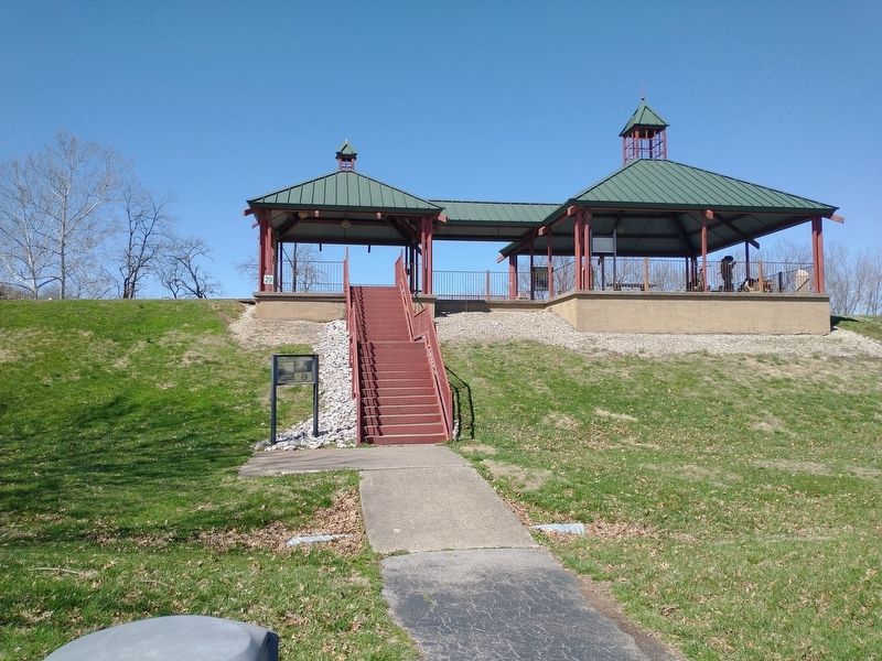
Location. 38° 12.104′ N, 84° 52.834′ W. Marker is in Frankfort, Kentucky, in Franklin County. Marker is on Wilkinson Boulevard, on the right when traveling south. Located in River View Park west of the parking area. Touch for map . Marker is in this post office area: Frankfort KY 40601, United States of America. Touch for directions.
Other nearby markers. At least 8 other markers are within walking distance of this marker. Capital on the Kentucky (a few steps from this marker); The Kentucky (a few steps from this marker); Bridge Abutments (within shouting distance of this marker); The Kentucky River Today (about 300 feet away, measured in a direct line); Amos Kendall (1789 - 1869) (about 500 feet away); Franks Ford, Fishtrap Island, and Craw (about 500 feet away); Farm Entryway and Pillar (about 500 feet away); Turnpike Era Fence (about 600 feet away). Touch for a list and map of all markers in Frankfort.
Credits. This page was last revised on March 25, 2022. It was originally submitted on March 24, 2022, by Craig Doda of Napoleon, Ohio. This page has been viewed 77 times since then and 8 times this year. Photos: 1, 2, 3. submitted on March 24, 2022, by Craig Doda of Napoleon, Ohio. • Mark Hilton was the editor who published this page.


