Frankfort in Franklin County, Kentucky — The American South (East South Central)
Mr. Ward Oates
Photographed by Craig Doda, March 20, 2022
1. Mr. Ward Oats Marker
Inscription.
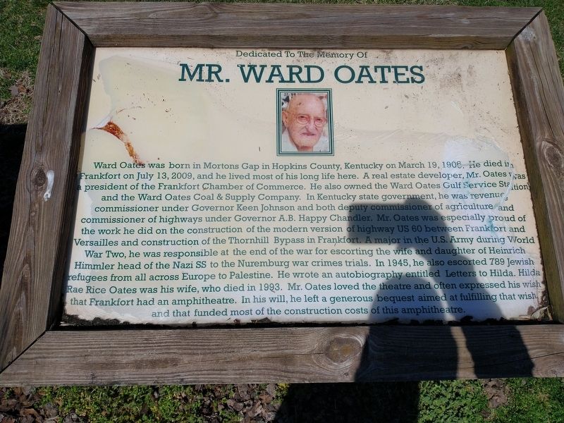
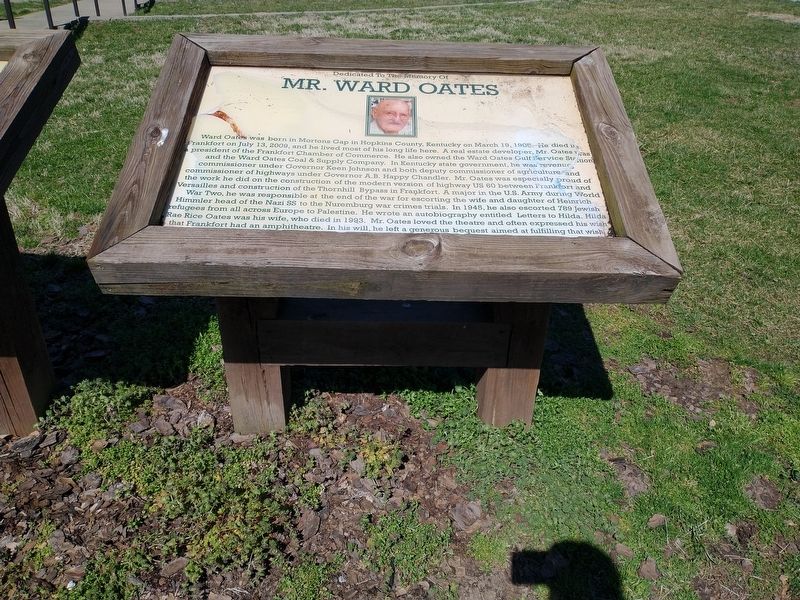
Ward Oates was born in Mortons Gap in Hopkins County, Kentucky on March 19, 1906. He died in Frankfort on July 13, 2009, and he lived most of his long life here. A real estate developer, Mr. Oates was a president of the Frankfort Chamber of Commerce. He also owned the Ward Oates Gulf Service Station and the Ward Oates Coal & Supply Company. In Kentucky state government, he was revenue
commissioner under Governor Keen Johnson and both deputy commissioner of agriculture and commissioner of highways under Governor A.B. Happy Chandler. Mr. Oates was especially proud of the work he did on the construction of the modern version of highway US 60 between Frankfort and Versailles and construction of the Thornhill Bypass in Frankfort. A major in the U.S. Army during World
War Two, he was responsible at the end of the war for escorting the wife and daughter of Heinrich Himmler head of the Nazi SS to the Nuremburg war crimes trials. In 1945, he also escorted 789 Jewish refugees from all across Europe to Palestine. He wrote an autobiography entitled Letters to Hilda. Hilda Rae Rice Oates was his wife, who died in 1993. Mr. Oates loved
Click or scan to see this page online
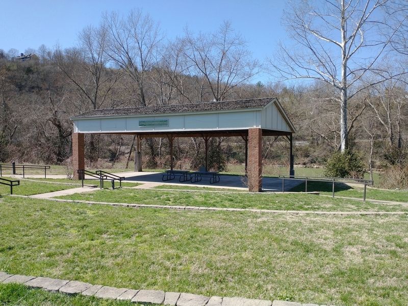
the theater and often expressed his wish that Frankfort had an amphitheater. In his will, he left a generous bequest aimed at fulfilling that wish and that funded most of the construction costs of this amphitheater.
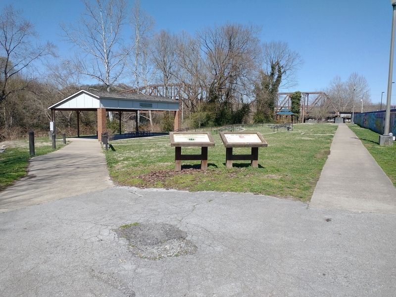
Location. 38° 12.03′ N, 84° 52.932′ W. Marker is in Frankfort, Kentucky, in Franklin County. It is on Wilkinson Boulevard, on the right when traveling south. Located in River View Park near the Ward Oates Amphitheater. Touch for map. Marker is in this post office area: Frankfort KY 40601, United States of America. Touch for directions.
Regionally, this marker is in Kentucky’s Bluegrass Region. It is also in the American South and specifically in the Upper South. Globally, it is in North America, the Western Hemisphere, the Western World, and the Anglosphere. Historically, it finds itself in what was once the territory of the Mississippian Culture and also the Antebellum South.
Other nearby markers. At least 8 other markers are within walking
Credits. This page was last revised on March 26, 2022. It was originally submitted on March 25, 2022, by Craig Doda of Napoleon, Ohio. This page has been viewed 336 times since then and 23 times this year. Photos:1, 2, 3, 4. submitted on March 25, 2022, by Craig Doda of Napoleon, Ohio. • Mark Hilton was the editor who published this page.