Near Dingmans Ferry in Pike County, Pennsylvania — The American Northeast (Mid-Atlantic)
Harnessing the Creek
Captions:
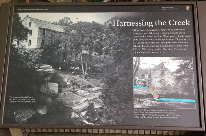
(Left) The abandoned Brooks Woolen Mill was a “picturesque ruin” when George W. Childs designed his park.
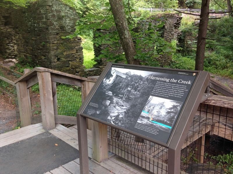
(Right) Water traveled from a headrace upstream of Factory Falls, down a flume through the foundation walls to spin the turbine that powered the mill's machinery. Water exited the mill through the tailrace to rejoin the creek downstream.
Erected by National Park Service.
Topics. This historical marker is listed in these topic lists: Industry & Commerce • Waterways & Vessels. A significant historical year for this entry is 1823.
Location. 41° 14.272′ N, 74° 55.002′ W. Marker is near Dingmans Ferry, Pennsylvania, in Pike County. Marker can be reached from Park Road (Road T344) west of Silver Lake Road (County Road 2004), on the left when traveling west. Marker is on the George W. Childs Park trail at the Factory Falls overlook on the north side of Dingmans Creek in the Delaware Water Gap National Recreation Area. Touch for map. Marker is in this post office area: Dingmans Ferry PA 18328, United States of America. Touch for directions.
Other nearby markers. At least 8 other markers are within 5 miles of this marker, measured as the crow flies. Roosevelt's Tree Army (about 300 feet away, measured in a direct line); George W. Childs Park (about 700 feet away); Woodland Paradise (about 700 feet away); Dingman's Ferry (approx. 2.6 miles away); a different marker also named Dingmans Ferry (approx. 3.2 miles away); The Village of Bevans (approx. 3.8 miles away in New Jersey); Bevans, New Jersey (approx. 4½ miles away in New Jersey); Layton, New Jersey (approx. 5 miles away in New Jersey). Touch for a list and map of all markers in Dingmans Ferry.
Credits. This page was last revised on March 29, 2022. It was originally submitted on March 25, 2022, by Duane and Tracy Marsteller of Murfreesboro, Tennessee. This page has been viewed 147 times since then and 24 times this year. Photos: 1, 2. submitted on March 25, 2022, by Duane and Tracy Marsteller of Murfreesboro, Tennessee.

