Walnut Springs in Bosque County, Texas — The American South (West South Central)
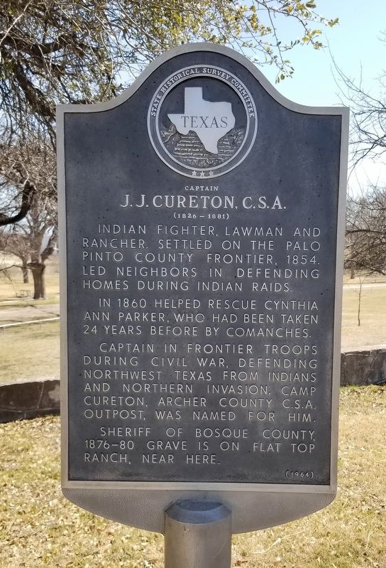
Captain J.J. Cureton, C.S.A.
(1826-1881)
In 1860 helped rescue Cynthia Ann Parker, who had been taken 24 years before by Comanches.
Captain in frontier troops during Civil War, defending northwest Texas from Indians and northern invasion. Camp Cureton, Archer County C.S.A. outpost, was named for him. Sheriff of Bosque County, 1876-80. Grave is on Flat Top Ranch, near here.
Erected 1964 by State Historical Survey Committee. (Marker Number 717.)
Topics. This historical marker is listed in these topic lists: Native Americans • Wars, US Indian. A significant historical year for this entry is 1854.
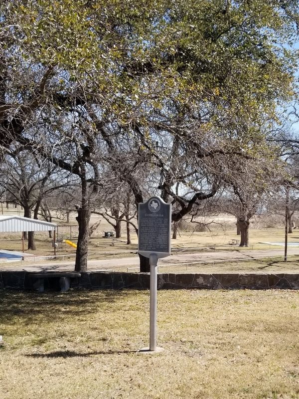
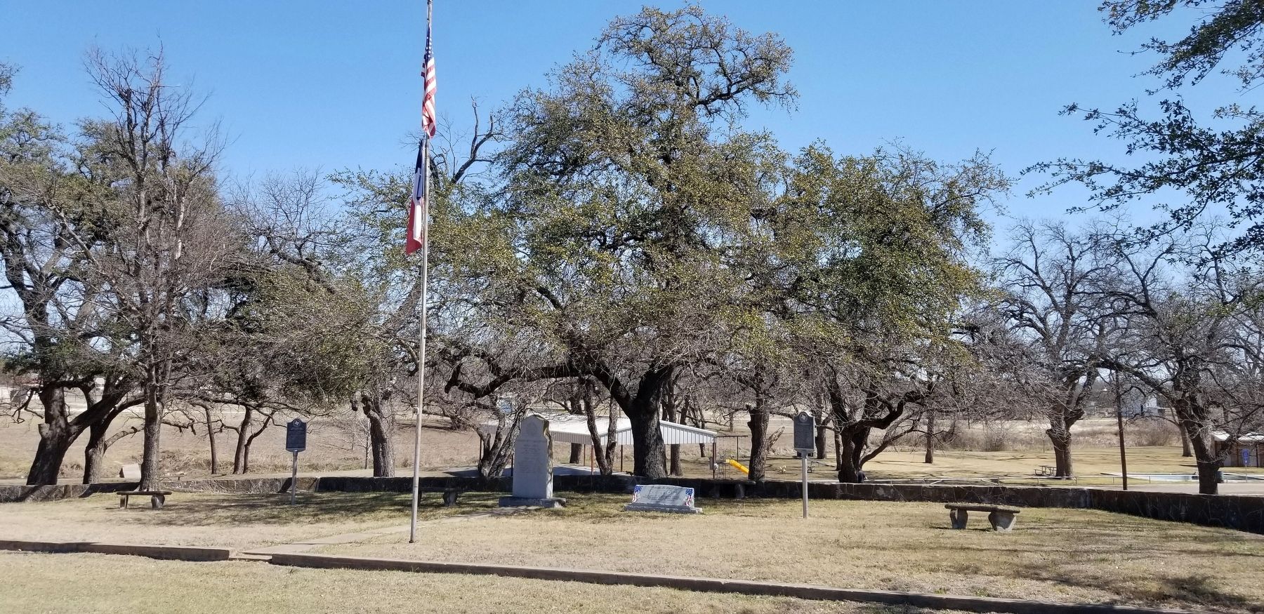
Location. 32° 3.285′ N, 97° 44.966′ W. Marker is in Walnut Springs, Texas, in Bosque County. Marker is at the intersection of Walnut Avenue and 3rd Street (Farm to Market Road 927), on the left when traveling east on Walnut Avenue. The marker is located at the front entrance to the Katy Park. Touch for map. Marker is in this post office area: Walnut Springs TX 76690, United States of America. Touch for directions.
Other nearby markers. At least 8 other markers are within 9 miles of this marker, measured as the crow flies. Freedom Is Not Free (here, next to this marker); In Memory of the Gallant Dead (here, next to this marker); James Buckner "Buck" Barry, C.S.A. (a few steps from this marker); Fulton Cemetery (approx. 2.7 miles away); Iredell First United Methodist Church (approx. 8.6 miles away); John A. Lomax (approx. 8.7 miles away); Riverside Cemetery (approx. 8.7 miles away); First United Methodist Church of Morgan (approx. 8.7 miles away). Touch for a list and map of all markers in Walnut Springs.
Also see . . . Cureton, J.J. (ca. 1826–1881).
In 1852 he joined the gold rush and took some cattle to California; in the winter of 1854 he returned to Texas, where he settled on Keechi Creek. He was in command of his neighbors at a battle at Salt Creek in 1858, and in December 1860 he was a member of a group of citizen soldiers that met and killed Chief Peta Nocona. Source: The Handbook of Texas(Submitted on March 26, 2022, by James Hulse of Medina, Texas.)
Credits. This page was last revised on March 26, 2022. It was originally submitted on March 26, 2022, by James Hulse of Medina, Texas. This page has been viewed 227 times since then and 31 times this year. Photos: 1, 2, 3. submitted on March 26, 2022, by James Hulse of Medina, Texas.


