Woodbridge in Woodbridge Township in Middlesex County, New Jersey — The American Northeast (Mid-Atlantic)
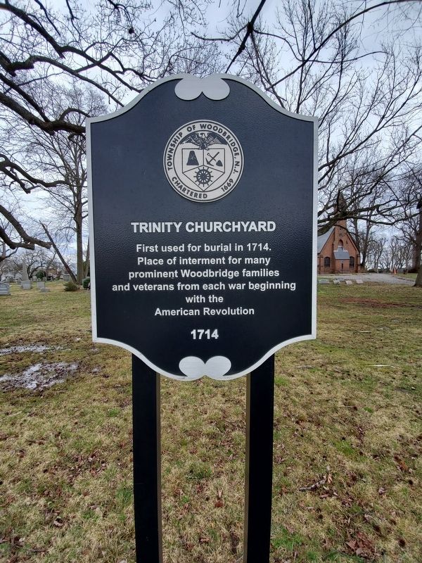
Trinity Churchyard
Photographed by John A. Lande, March 25, 2022
1. Trinity Churchyard Marker
Place of interment for many
prominent Woodbridge families
and veterans from each war beginning
with the
American Revolution
1714
Erected by Woodbridge Township Historic Preservation Commission.
Topics. This memorial is listed in these topic lists: Cemeteries & Burial Sites • Religion & Religious Structures • War, US Revolutionary. A significant historical year for this entry is 1714.
Location. 40° 33.85′ N, 74° 16.385′ W. Memorial is in Woodbridge Township, New Jersey, in Middlesex County. It is in Woodbridge. It is on Rahway Avenue (County Route 514) south of Wedgewood Avenue, on the right when traveling north. Touch for map. Memorial is at or near this postal address: 665 Rahway Ave, Woodbridge NJ 07095, United States of America. Touch for directions.

Regionally, this memorial is in New Jersey’s Central Jersey, in Greater Princeton, and in the New York City Metropolitan Area. It is also in the American Northeast, in the Mid-Atlantic, and on the Eastern Seaboard. Globally, it is in the North Atlantic Region, North America, the Western Hemisphere, the Western
this page online
Other nearby markers. At least 8 other markers are within walking distance of this marker: Jonathan Dunham House (here, next to this marker); Trinity Episcopal Church (about 300 feet away, measured in a direct line); Trinity Church (about 300 feet away); a different marker also named Trinity Episcopal Church (about 400 feet away); First Presbyterian Church Cemetery (about 500 feet away); Revolutionary Soldiers and Patriots of Woodbridge (about 600 feet away); First Presbyterian Church (approx. 0.2 miles away); Aaron Dunn Homestead/Jost-Keating House (approx. 0.2 miles away). Touch for a list and map of all markers in Woodbridge Township.
Also see . . . Trinity Episcopal Church, Woodbridge, NJ. (Submitted on April 1, 2022, by Michael Herrick of Southbury, Connecticut.)
Photographed by John A. Lande, March 25, 2022
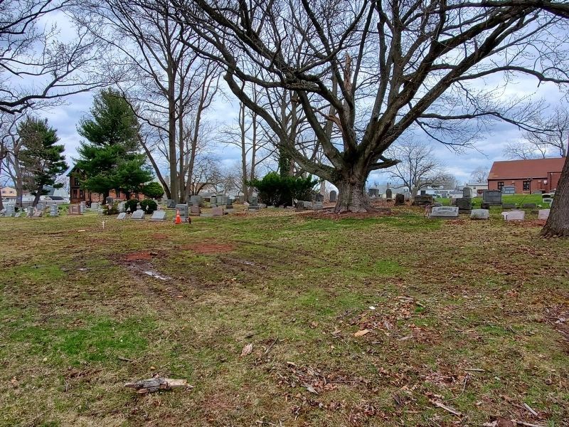
2. Trinity Churchyard
Credits. This page was last revised on April 1, 2022. It was originally submitted on March 26, 2022, by John A. Lande of Woodbridge, New Jersey. This page has been viewed 250 times since then and 14 times this year. Photos: 1, 2. submitted on March 26, 2022, by John A. Lande of Woodbridge, New Jersey. • Michael Herrick was the editor who published this page.
