Mount Vernon near Alexandria in Fairfax County, Virginia — The American South (Mid-Atlantic)
Ha-ha Walls
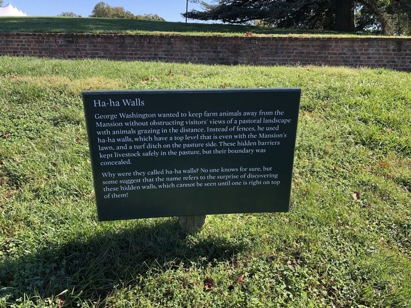
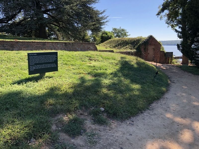
George Washington wanted to keep farm animals away from the Mansion without obstructing visitors' views of a pastoral landscape with animals grazing in the distance. Instead of fences, he used ha-ha walls, which have a top level that is even with the Mansion's lawn, and a turf ditch on the pasture side. These hidden barriers kept livestock safely in the pasture, but their boundary was concealed.
Why were they called ha-ha walls? No one knows for sure, but some suggest that the name refers to the surprise of discovering these hidden walls, which cannot be seen until one is right on top of them!
Topics and series. This historical marker is listed in these topic lists: Agriculture • Animals • Architecture. In addition, it is included in the Former U.S. Presidents: #01 George Washington series list.
Location. 38° 42.431′ N, 77° 5.196′ W. Marker is near Alexandria, Virginia, in Fairfax County. It is in Mount Vernon. It can be reached from George Washington Memorial Parkway east of Mount Vernon Memorial Highway (Virginia Route 235), on the right when traveling
this page online

Regionally, this marker is in the Washington Metropolitan Area and in Northern Virginia. It is also in the American South, specifically in the Upper South, in the Mid-Atlantic, and on the Eastern Seaboard. Globally, it is in the North Atlantic Region, North America, the Western Hemisphere, the Western World, and the Anglosphere. Historically, it finds itself in what was once the territory of the Mississippian Culture, one of the original Thirteen Colonies, one of the Confederate States of America, and the Antebellum South.
Other nearby markers. At least 8 other markers are within walking distance of this marker: Icehouse (a few steps from this marker); Dung Repository (within shouting distance of this marker); Washington's Vehicles (within shouting distance of this marker); Horses (within shouting distance of this marker); Powel Coach (within shouting distance of this marker); Peter Hardiman and Family (within shouting distance of this marker); Kitchen (about 300 feet away, measured in a direct
Additional keywords. landscape architecture
Credits. This page was last revised on January 27, 2023. It was originally submitted on September 26, 2021, by Devry Becker Jones of Washington, District of Columbia. This page has been viewed 1,009 times since then and 77 times this year. Last updated on March 26, 2022, by Connor Olson of Menomonee Falls, Wisconsin. Photos: 1, 2. submitted on September 26, 2021, by Devry Becker Jones of Washington, District of Columbia. • J. Makali Bruton was the editor who published this page.
