Rio Vista in Johnson County, Texas — The American South (West South Central)
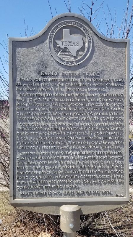
Early Cattle Trade
Routes for beef supplying were many: Shreveport Trail to Vicksburg, Miss.; Alexandria Trail to Natchez, Miss.; Opelousas Trail to Woodville, Miss., and on to Mobile, Ala.; Old Government Road to Little Rock, Ark.; Oliver Loving's 1859 trail north, to Indian Territory; trails to all army depots and even to Mexico.
Cowboys had to swim cattle across rivers - even the Mississippi. After undergoing such hardships, one outfit was mistakenly arrested by Confederates. Lt. Col. J.F. Scurlock and son from Johnson County, on a Texas beef drive into southern Louisiana, were arrested by Federals and died in prison of fever.
Meredith Hart (1811-1864), a leading beef supplier, came to Johnson County in 1855, after fighting for the Texas Republic in 1836. In the 1850's, he sold beef to the U.S. Army. During the Civil War, he was one of the ranchers victimized by beef contractors using counterfeit money, but accepted losses in the faith that beef was feeding his sons and others on Confederate fighting fronts.
Hart's home is 1 1/2 miles east of Rio Vista.
Erected 1965 by State Historical Survey Committee. (Marker Number 1338.)
Topics. This historical marker is listed in these topic lists: Animals • Roads & Vehicles • War, US Civil. A significant historical year for this entry is 1859.
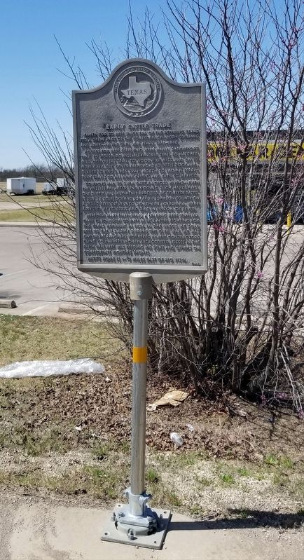
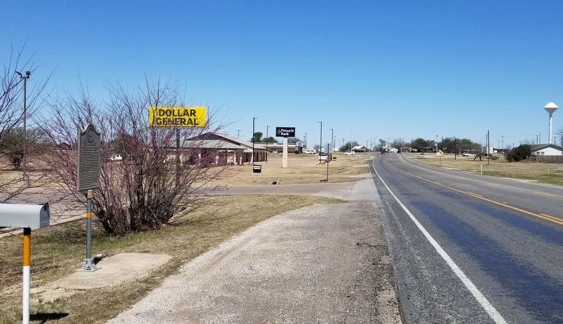
Location. 32° 14.151′ N, 97° 22.757′ W. Marker is in Rio Vista, Texas, in Johnson County. Marker is on State Highway 174, 0.3 miles north of Depot Street, on the left when traveling north. The marker is located in front of a general store by the highway. Touch for map. Marker is at or near this postal address: 407 TX-174, Rio Vista TX 76093, United States of America. Touch for directions.
Other nearby markers. At least 8 other markers are within 7 miles of this marker, measured as the crow flies. Henry Briden Cabin (about 300 feet away, measured in a direct line); Menefee Reunion (about 300 feet away); Rio Vista (approx. ¼ mile away); Grange Hall Cemetery (approx. 1.3 miles away); Phillip Nolan (approx. 4 miles away); Guy Bailey (approx. 6½ miles away); Johnson County Sheriff's Posse (approx. 6.8 miles away); Blum Cemetery (approx. 6.9 miles away). Touch for a list and map of all markers in Rio Vista.
Credits. This page was last revised on March 27, 2022. It was originally submitted on March 27, 2022, by James Hulse of Medina, Texas. This page has been viewed 114 times since then and 26 times this year. Photos: 1, 2, 3. submitted on March 27, 2022, by James Hulse of Medina, Texas.


