Near Centreville in Prince William County, Virginia — The American South (Mid-Atlantic)
Strategic Crossing
First Battle of Manassas
| — | July 21, 1861 - 6 a.m. | — |
Photographed by J. Makali Bruton, September 4, 2015
1. Strategic Crossing Marker
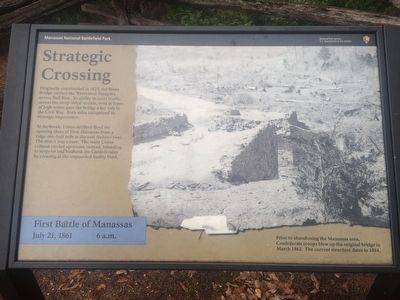
At daybreak, Union artillery fired the opening shots of First Manassas from a ridge one-half mile to the east (behind you). The attack was a ruse. The main Union column circled upstream instead, intending to surprise and outflank the Confederates by crossing at the unguarded Sudley Ford.
Caption:
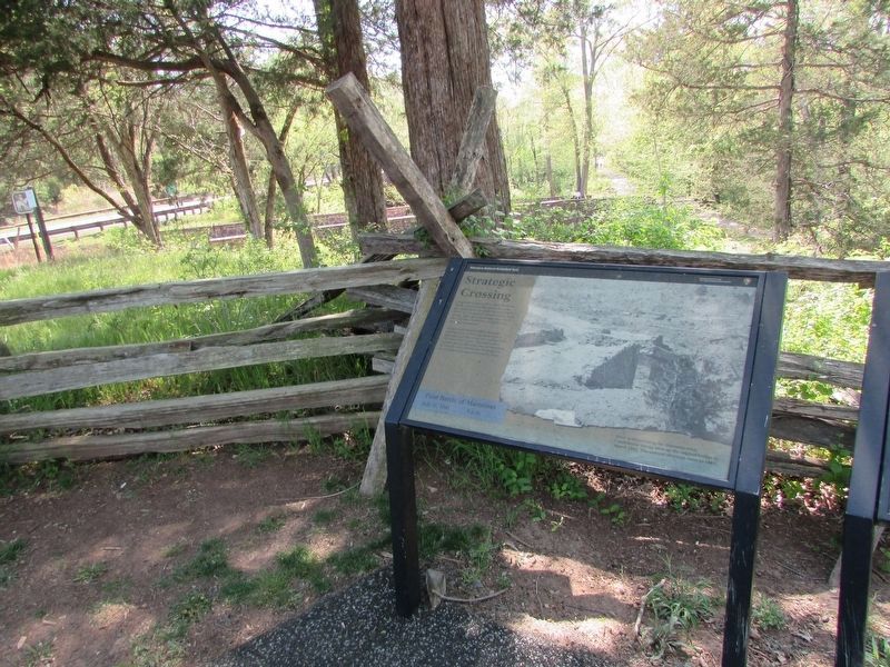
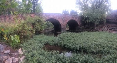
Prior to abandoning the Manassas area, Confederate troops blew up the original bridge in March 1862. The current structure dates to 1884.
Erected by National Park Service, U.S. Department of the Interior.
Topics. This historical marker is listed in this topic list: War, US Civil. A significant historical year for this entry is 1825.
Location. 38° 49.467′ N, 77° 30.189′ W. Marker is near Centreville, Virginia, in Prince William County. It can be reached from Lee Highway (Virginia Route 29) 0.1 miles west of Paddington Lane, on the right when traveling
this page online

Regionally, this marker is in the Washington Metropolitan Area, in Northern Virginia, and in the Piedmont. It is also in the American South, specifically in the Upper South, in the Mid-Atlantic, and on the Eastern Seaboard. Globally, it is in the North Atlantic Region, North America, the Western Hemisphere, the Western World, and the Anglosphere. Historically, it finds itself in what was once the territory of the Mississippian Culture, one of the original Thirteen Colonies, one of the Confederate States of America, and the Antebellum South.
Other nearby markers. At least 8 other markers are within walking distance of this marker: Union Retreat (here, next to this marker); a different marker also named Stone Bridge (about 300 feet away, measured in a direct line); a different marker also named The Stone Bridge (approx. 0.4
Photographed by Bill Coughlin, April 20, 2023
2. Strategic Crossing Marker
Other markers no longer nearby. Stone Bridge (was a few steps from this marker but has been confirmed missing); Farm Ford (was approx. 0.3 miles away but has been replaced with another marker now near it).
More about this marker. This marker replaced an older marker at this location titled, "Stone Bridge"
Photographed by J. Makali Bruton, September 4, 2015
3. Strategic Crossing Marker
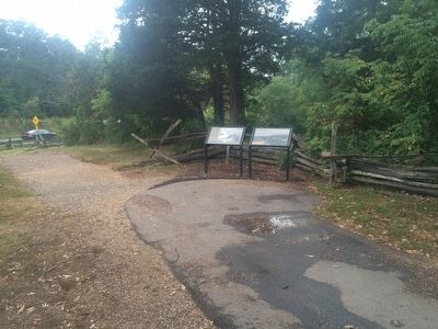
The marker is on the left. On the right is a marker entitled, "Union Retreat."
Photographed by J. Makali Bruton, September 4, 2015
4. The Stone Bridge
Credits. This page was last revised on May 10, 2023. It was originally submitted on September 17, 2015, by J. Makali Bruton of Washington, District of Columbia. This page has been viewed 1,097 times since then and 29 times this year. Last updated on March 27, 2022, by Connor Olson of Menomonee Falls, Wisconsin. Photos: 1. submitted on September 17, 2015, by J. Makali Bruton of Washington, District of Columbia. 2. submitted on April 29, 2023, by Bill Coughlin of Woodland Park, New Jersey. 3, 4. submitted on September 17, 2015, by J. Makali Bruton of Washington, District of Columbia.
