Florahome in Putnam County, Florida — The American South (South Atlantic)
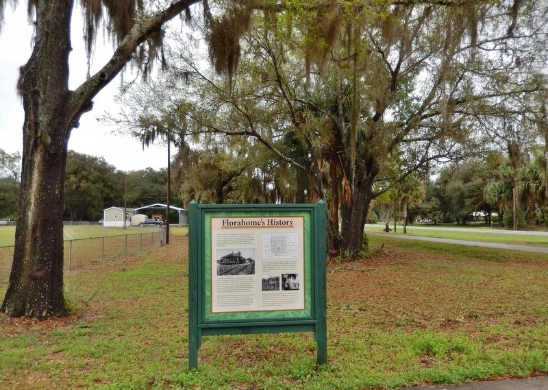
Florahome's History
In the late 1800s, marshlands surrounding an upland area located 15 miles west of Palatka were being drained to make farmland and lure newcomers to the area. The name of the community came from one of the original residents — Flora Sipprell. According to local lore, folks were headed for "Flora's home", which in time was shortened to Florahome.
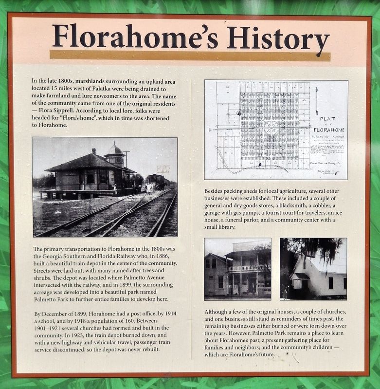
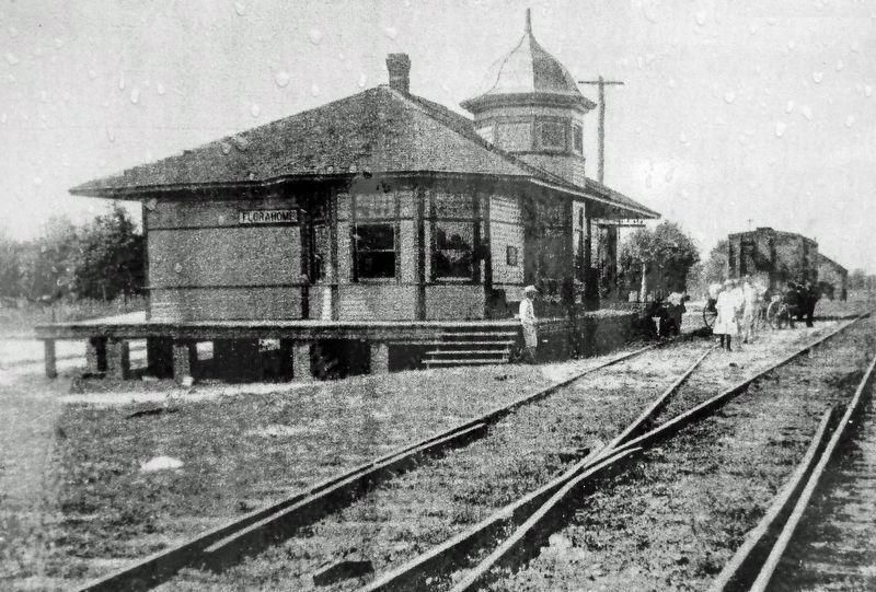
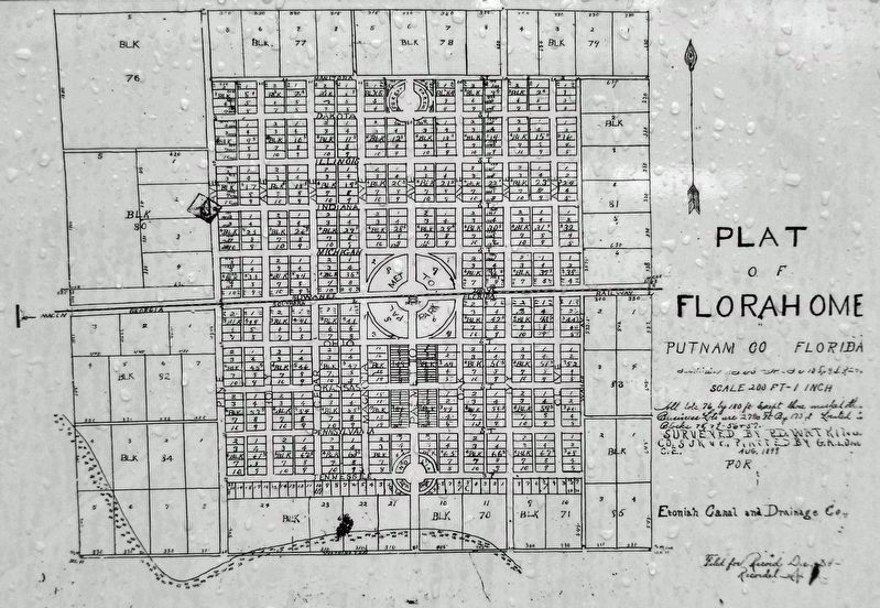
The primary transportation to Florahome in the 1800s was the Georgia Southern and Florida Railway who, in 1886, built a beautiful train depot in the center of the community. Streets were laid out, with many named after trees and shrubs. The depot was located where Palmetto Avenue intersected with the railway, and in 1899, the surrounding acreage was developed into a beautiful park named Palmetto Park to further entice families to develop here.
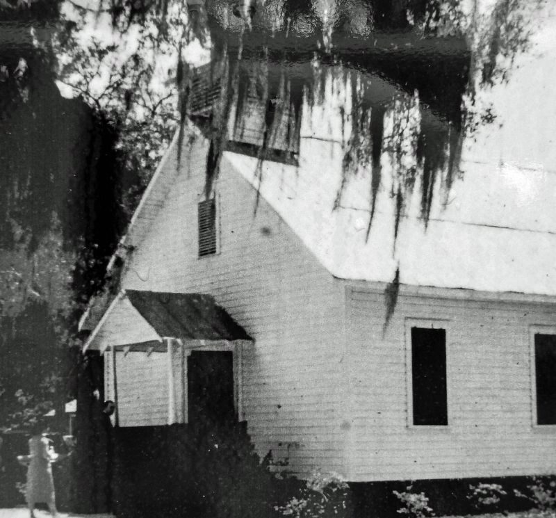
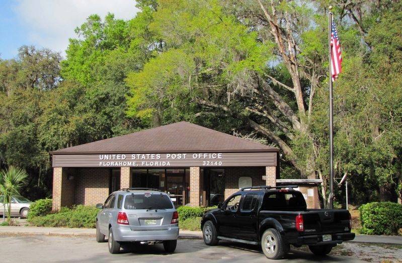
By December of 1899, Florahome had a post office, by 1914 a school, and by 1918 a population of 160. Between 1901-1921 several churches had formed and built in the community. In 1923, the train depot burned down, and with a new highway and vehicular travel, passenger train service discontinued, so the depot was never rebuilt.
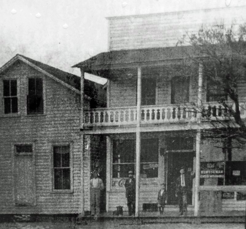
Besides packing sheds for local agriculture, several other businesses were established. These included a couple of general and dry goods stores, a blacksmith, a cobbler, a garage with gas pumps, a tourist court for travelers, an ice house, a funeral parlor, and a community center with a small library.
Although a few of the original houses, a couple of churches, and one business still stand as reminders of times past, the remaining businesses either burned or were torn down over the years. However, Palmetto Park remains a place to learn about Florahome's past; a present gathering place for families and neighbors; and the community's children — which are Florahome's future.
Topics. This historical marker is listed in these topic lists: Industry & Commerce • Parks & Recreational Areas • Railroads & Streetcars • Settlements & Settlers. A significant historical month for this entry is December 1899.
Location. 29° 43.974′ N, 81° 53.178′ W. Marker is in Florahome, Florida, in Putnam County. Marker can be reached from the intersection of Florida Route 100 and South Palmetto Avenue, on the left when traveling east. Marker is located in Palmetto Park at the Florahome Trailhead of the Palatka-Lake Butler State Trail (rail trail). Touch for map. Marker is at or near this postal address: 102 East Michigan Street, Florahome FL 32140, United States of America. Touch for directions.
Other nearby markers. At least 8 other markers are within 10 miles of this marker, measured as the crow flies. The Bellamy Road (approx. 5.9 miles away); Lincoln Lane Schoolhouse (approx. 7.1 miles away); Magnolia Lake State Park (approx. 9 miles away); I am a Veteran (approx. 9.3 miles away); The Keystone Inn (approx. 9.3 miles away); Melrose High School (approx. 9.6 miles away); Melrose Veterans Memorial (approx. 9.6 miles away); Melrose Cemetery (approx. 9.6 miles away).
Also see . . . Florahome, Florida.
The streets are laid in a grid system. Streets north and south are named for trees or shrubs. Streets east and west are named for states or provinces. Early in the town's history, it was surrounded by swamps. These were drained when canals were dredged by the Etoniah Canal and Drainage Company. Florahome was also once an island and was drained of all its water to make way for crops, animals, and homes. The town is built upon a sandy hill rising from the swampy areas.(Submitted on March 27, 2022, by Cosmos Mariner of Cape Canaveral, Florida.)
Credits. This page was last revised on March 27, 2022. It was originally submitted on March 27, 2022, by Cosmos Mariner of Cape Canaveral, Florida. This page has been viewed 576 times since then and 118 times this year. Photos: 1, 2, 3, 4, 5, 6, 7. submitted on March 27, 2022, by Cosmos Mariner of Cape Canaveral, Florida.
