Greentree Park near Kirkwood in St. Louis County, Missouri — The American Midwest (Upper Plains)
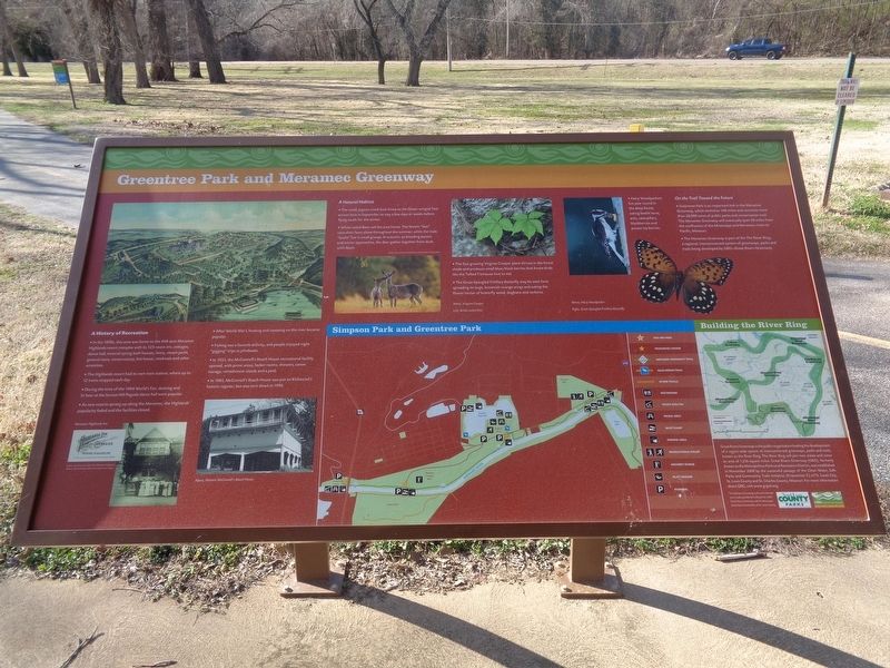
Greentree Park and Meramec Greenway
A History of Recreation
In the 1890s, this area was home to the 438-acre Meramec Highlands resort complex with its 125-room inn, cottages, dance hall, mineral spring bath houses, livery, steam yacht, general store, conservatory, hot house, rowboats and other amenities.
The Highlands resort had its own train station, where up to 12 trains stopped each day.
During the time of the 1904 World's Fair, dancing and 5 cent beer at the Sunset Hill Pagoda dance hall were popular.
As new resorts sprang up along the Meramec, the Highlands' popularity faded and the facilities closed.
After World War I, boating and canoeing on the river became popular.
Fishing was a favorite activity, and people enjoyed night "gigging" trips in johnboats.
In 1935, the McConnell's Beach House recreational facility opened, with picnic areas, locker rooms, showers, canoe storage, refreshment stands and a pool.
In 1985, McConnell's Beach House was put on Kirkwood's historic register, but was torn down in 1996.
A Natural Habitat
The small, pigeon-sized duck know as the Green-winged Teal arrives here in September to stay a few days or weeks before flying south for the winter.
White-tailed Deer call the area home. The female "doe" raise their fawn alone throughout the summer, while the male "bucks" live in small groups. In autumn, as breeding season and winter approaches, the deer gather together from dusk until dawn.
The fast-growing Virginia Creeper plant thrives in the forest shade and produces small blue/black berries that forest birds like the Tufted Titmouse love to eat.
The Great-Spangled Fritillary Butterfly may be seen here spreading its large, brownish-orange wings and eating the flower nectar of butterfly weed, dogbane and verbena.
On the Trail Toward the Future
Greentree Park is an important link in the Meramec Greenway, which stretches 108 miles and connects more than 28,000 acres of public parks and conservation trail. The Meramec Greenway will eventually span 50 miles from the confluence of the Mississippi and Meramec rivers to Pacific, Missouri.
The Meramec Greenway is part of The River Ring, a regional, interconnected system of greenways, parks and trails being developed by GRG-Great Rivers Greenway.
Erected by Saint Louis County Parks and Great Rivers Greenway.
Topics. This historical marker is listed in these topic lists: Animals • Industry & Commerce • Parks & Recreational Areas. A significant historical year for this entry is 1904.
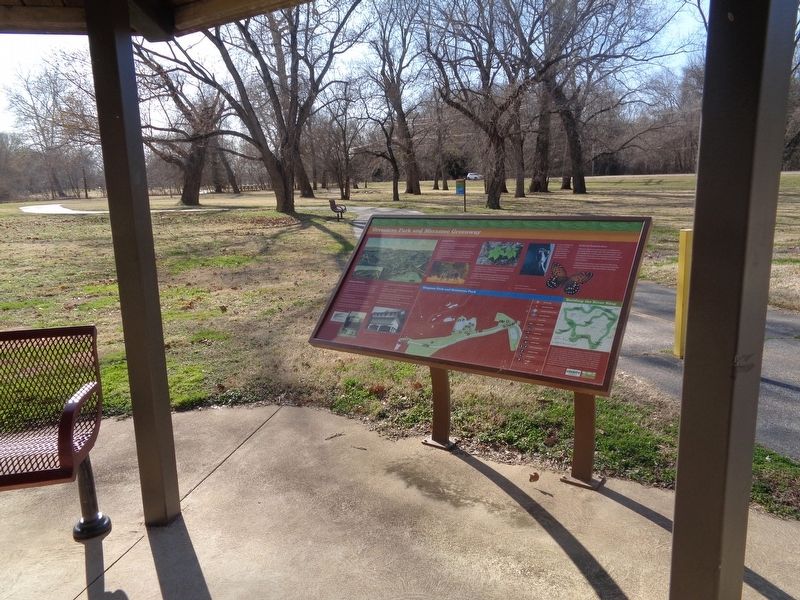
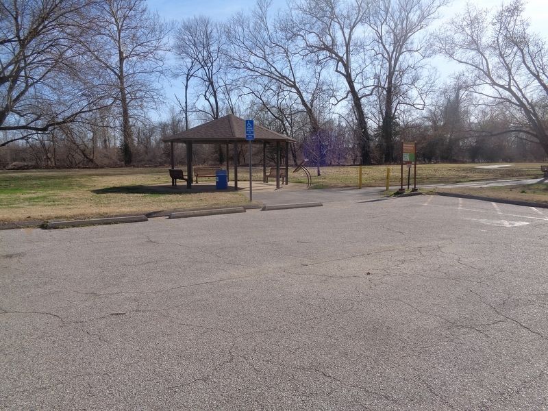
Location. 38° 33.612′ N, 90° 26.645′ W. Marker is near Kirkwood, Missouri, in St. Louis County. It is in Greentree Park. Marker is on Marshall Road west of Timberbrook Drive, on the right when traveling east. Marker is located at the east entrance of Greentree Park. Touch for map. Marker is at or near this postal address: 2150 Marshall Rd, Saint Louis MO 63122, United States of America. Touch for directions.
Other nearby markers. At least 8 other markers are within 2 miles of this marker, measured as the crow flies. Meramec River Greenway - Unger Park (approx. 0.6 miles away); Veteran's Memorial (approx. 0.8 miles away); Historic Quinette Cemetery (approx. 0.8 miles away); Quinette Cemetery (approx. 0.8 miles away); Simpson Park and the Meramec River Greenway (approx. 1.2 miles away); #2727 (approx. 1.2 miles away); #318 (approx. 1.2 miles away); The Gasconade Bridge Disaster (approx. 1.2 miles away). Touch for a list and map of all markers in Kirkwood.
Credits. This page was last revised on September 11, 2023. It was originally submitted on March 28, 2022, by Jason Voigt of Glen Carbon, Illinois. This page has been viewed 211 times since then and 22 times this year. Photos: 1, 2, 3. submitted on March 28, 2022, by Jason Voigt of Glen Carbon, Illinois.


