Lexington in Fayette County, Kentucky — The American South (East South Central)
Americas First West
"Spread out before us lay the finest body of land in the world."
You are a British citizen, and George III is king.
You and a few hundred others are the only non-Native Americans exploring the uncharted lands of Kentucke (as it is known) west of the Appalachian Mountains. You may be a "long hunter", spending many months in the frontier before returning home. Occasionally, you write about the fertile land, abundant wildlife and weather. But your observations can only be delivered back east in person, by you.
The First American West:
Kentucky from 1750 through 1800
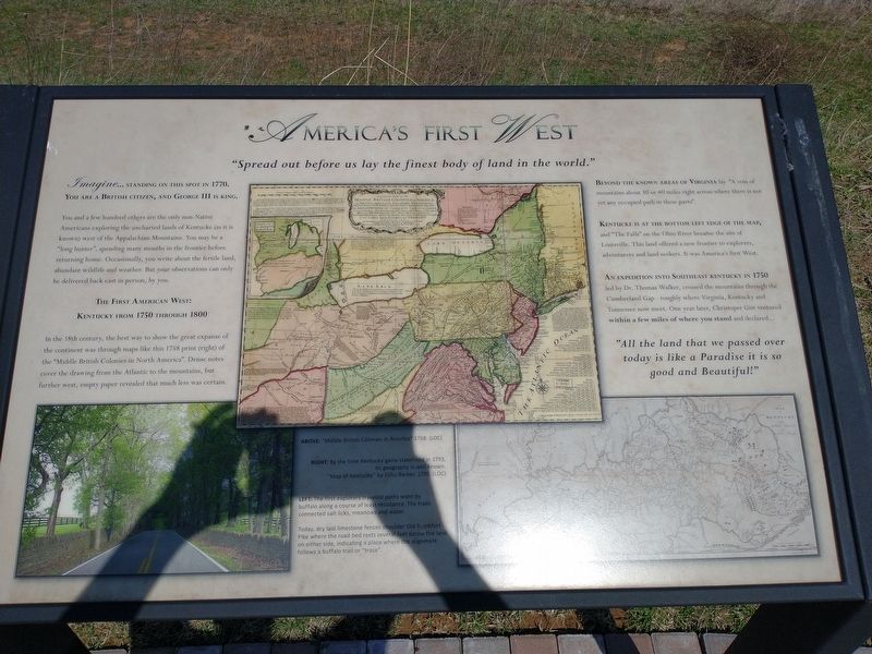
In the 18th century, the best way to show the great expanse of the continent was through maps like this 1758 print (right) of the "Middle British Colonies in North America". Dense notes cover the drawing from the Atlantic to the mountains, but further west, empty paper revealed that much less was certain.
Beyond the known areas of Virginia lay "A vein of mountains about 30 or 40 miles right across where there is not yet any occupied path in these parts".
Kentucky is at the bottom left edge of the map, and "The Falls” on the Ohio River became the site of Louisville. This land offered a new frontier to explorers, adventurers and land seekers. It was America's first West.
An expedition into southeast Kentucky in 1750 led by Dr. Thomas Walker, crossed the mountains through the Cumberland Gap - roughly where Virginia, Kentucky and Tennessee now meet. One year later, Christoper Gist ventured within a few miles of where you stand and declared...
"All the land that we passed over today is like a Paradise it is so good and Beautiful!"
Photo captions:
Above: "Middle British Colonies in America” 1758. (LOC)
Right: By the time Kentucky gains statehood in 1793, its geography is well known. "Map of Kentucky” by Elihu Barker, 1795. (LOC)
Left: The first explorers traveled paths worn by buffalo along a course of least resistance. The trails connected salt licks, meadows and water.
Today, dry laid limestone fences shoulder Old Frankfort Pike where the road bed rests several feet below the land on either side, indicating a place where the alignment follows a buffalo trail or "trace".
Topics. This historical marker is listed in this topic list: Colonial Era. A significant historical year for this entry is 1770.
Location. 38° 4.125′ N, 84° 33.444′ W. Marker is in Lexington, Kentucky, in Fayette County. Marker is at the intersection of Old Frankfort Pike and Alexandria Drive, on the right when traveling east on Old Frankfort Pike. Touch for map. Marker is at or near this postal address: 2450 Old Frankfort Pike, Lexington KY 40510, United States of America. Touch for directions.
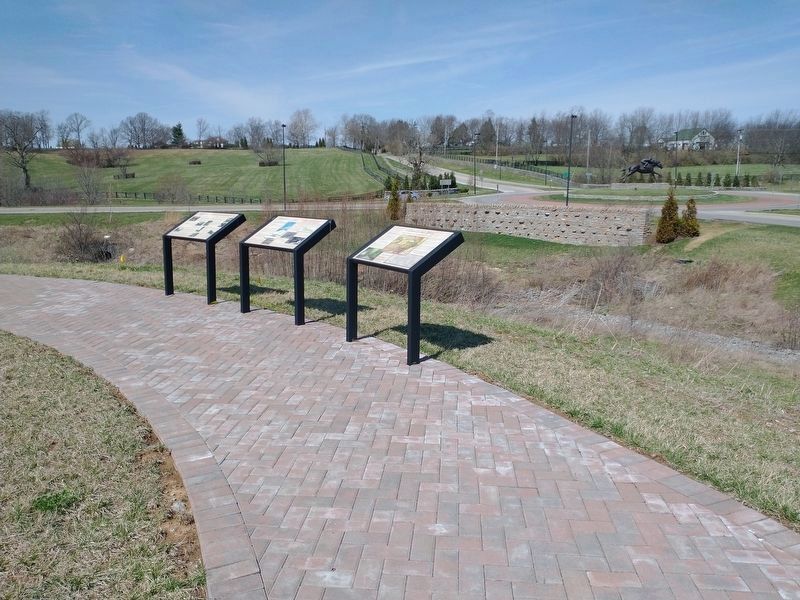
Other nearby markers. At least 8 other markers are within walking distance of this marker. Geology And The Land (here, next to this marker); The Settlers (here, next to this marker); Create An Agri-culture (a few steps from this marker); Breed Only The Best (a few steps from this marker); Gentlemen Farmers and Burley Tobacco (a few steps from this marker); the International Thoroughbred Landscape (a few steps from this marker); Calumet Farm (a few steps from this marker); Welcome To The Old Frankfort Pike Scenic Byway and the Lexington-Frankfort Scenic Corridor (a few steps from this marker). Touch for a list and map of all markers in Lexington.
Credits. This page was last revised on March 29, 2022. It was originally submitted on March 28, 2022, by Craig Doda of Napoleon, Ohio. This page has been viewed 151 times since then and 33 times this year. Photos: 1, 2, 3. submitted on March 28, 2022, by Craig Doda of Napoleon, Ohio. • Mark Hilton was the editor who published this page.


