Frederick in Frederick County, Maryland — The American Northeast (Mid-Atlantic)
Burning the Bridge
— Monocacy National Battlefield —
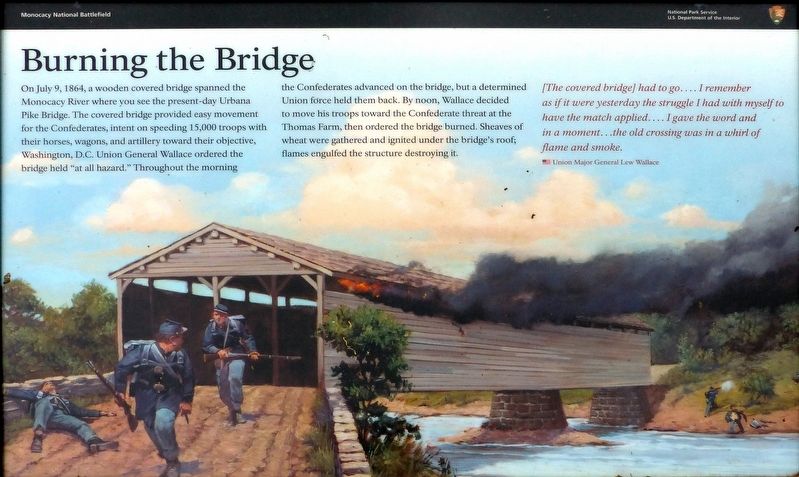
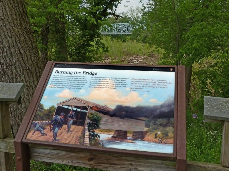
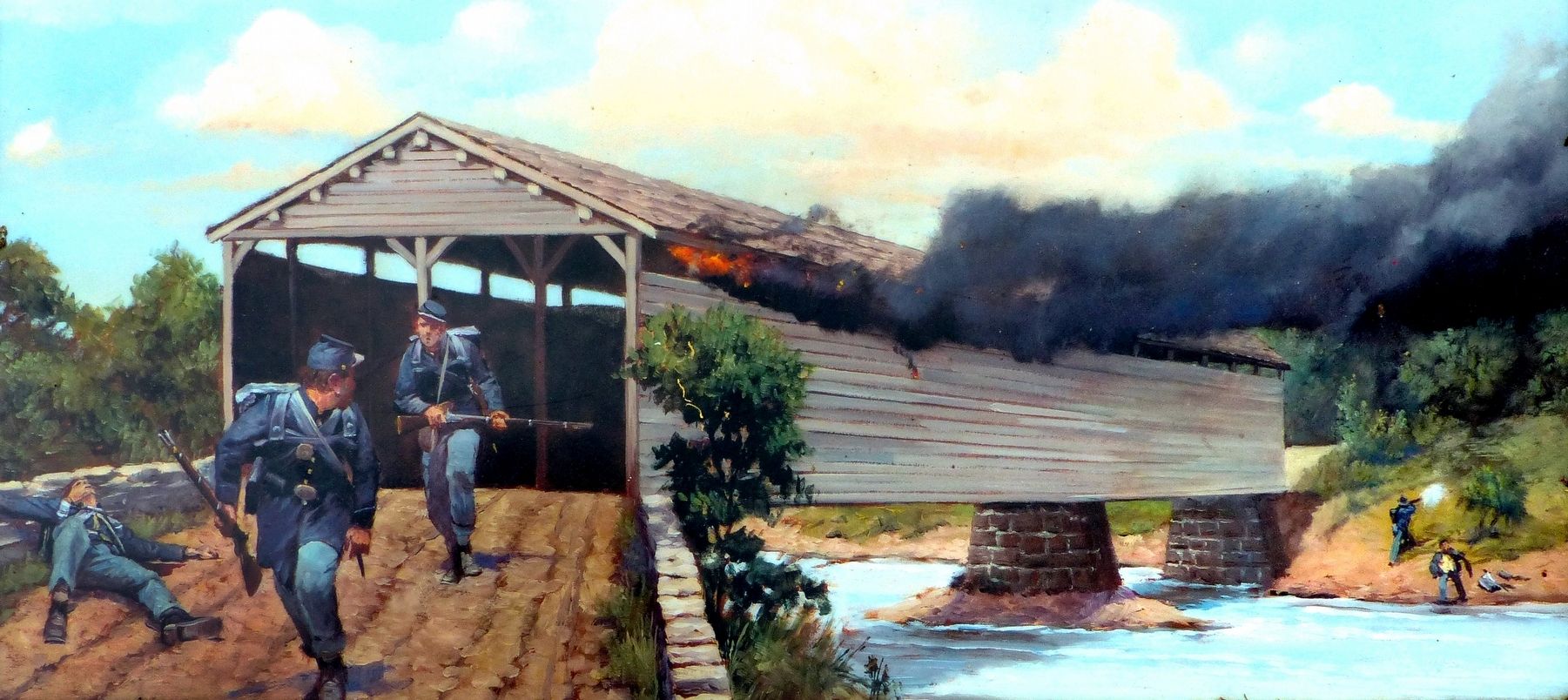
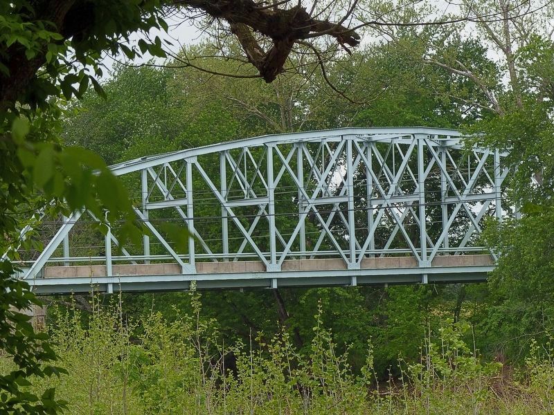
On July 9, 1864, a wooden covered bridge spanned the Monocacy River where you see the present-day Urbana Pike Bridge. The covered bridge provided easy movement for the Confederates, intent on speeding 15,000 troops with their horses, wagons, and artillery toward their objective, Washington, D.C. Union General Wallace ordered the bridge held “at all hazard.” Throughout the morning the Confederates advanced on the bridge, but a determined Union force held them back. By noon, Wallace decided to move his troops toward the Confederate threat at the Thomas farm, then ordered the bridge burned. Sheaves of wheat were gathered and ignited under the bridge's roof; flames engulfed the structure destroying it.
[The covered bridge] had to go....I remember as if it were yesterday the struggle I had with myself to have the match applied....I gave the word and in a moment...the old crossing was in a whirl of flame and smoke.
Union Major General Lew Wallace
Erected by National Park Service, U.S. Department of the Interior.
Topics and series. This historical marker is listed in these topic lists: Bridges & Viaducts • War, US Civil. In addition, it is included in the Covered Bridges series list. A significant historical date for this entry is July 9, 1864.
Location. 39° 22.172′ N, 77° 23.284′ W. Marker is in Frederick, Maryland, in Frederick County. Marker can be reached from the intersection of Urbana Pike (Maryland Route 355) and Araby Church Road, on the right when traveling north. Located along a walking trail at the Gambrill Mill (stop five on the driving tour of Monocacy Battlefield), which on a lane off the right side (east) of Urbana Pike. Touch for map. Marker is in this post office area: Frederick MD 21704, United States of America. Touch for directions.
Other nearby markers. At least 8 other markers are within walking distance of this marker. Desperate Escape (here, next to this marker); Retreat (about 800 feet away, measured in a direct line); CPL Kirk J Bosselmann (about 800 feet away); A Bold Plan (approx. 0.2 miles away); Caring for the River (approx. 0.2 miles away); a different marker also named A Bold Plan (approx. 0.2 miles away); A Crossroads of History (approx. 0.2 miles away); Edgewood (approx. 0.2 miles away). Touch for a list and map of all markers in Frederick.
Related marker. Click here for another marker that is related to this marker. Old Marker At This Location titled "Burning of the Bridge".
Also see . . . Monocacy National Battlefield. National Park Service website entry (Submitted on June 1, 2017.)
Credits. This page was last revised on April 13, 2022. It was originally submitted on May 31, 2017, by Allen C. Browne of Silver Spring, Maryland. This page has been viewed 750 times since then and 155 times this year. Last updated on March 28, 2022, by Connor Olson of Kewaskum, Wisconsin. Photos: 1, 2, 3, 4. submitted on May 31, 2017, by Allen C. Browne of Silver Spring, Maryland. • J. Makali Bruton was the editor who published this page.


