
Near Peru in Clinton County, New York — The American Northeast (Mid-Atlantic)
Bear Swamp Road

Photographed by Steve Stoessel, March 29, 2022
1. Bear Swamp Road Marker
Road
improved by the
Town of
Peru
with the assistance
of the
Works Progress
Administration
1936
Topics. This historical marker is listed in this topic list: Roads & Vehicles. A significant historical year for this entry is 1936.
Location. 44° 34.642′ N, 73° 27.113′ W. Marker is near Peru, New York, in Clinton County. It is at the intersection of Bear Swamp Road (New York State Route 442) and Jabez Allen Road, on the left when traveling east on Bear Swamp Road. Touch for map. Marker is in this post office area: Peru NY 12972, United States of America. Touch for directions.

Regionally, this marker is in Upstate New York, in the Adirondacks & North Country, and in the Champlain Valley. It is also in the American Northeast and in the Mid-Atlantic. Globally, it is in North America, the Great North Woods, the Western Hemisphere, the Western World, and the Anglosphere. Historically, it finds itself in what was once the Viceroyalty of New France, New Netherland, and one of the original Thirteen Colonies.
Other nearby markers. At least 8 other markers are within 3 miles of this marker, measured as the crow flies: To Site of Peru Blockhouse (within shouting distance of this marker); Lakes to Locks Passage (approx. 0.6 miles away); Peru Landing (approx. 0.8 miles away); Jonas Platt Home (approx. 1½ miles away); Robert Platt Home (approx. 1.6 miles away); Port Jackson (approx. 2 miles away); Battle of Valcour (approx. 2 miles away); Peru’s First Settler (approx. 2.9 miles away). Touch for a list and map of all markers in Peru.
this page online
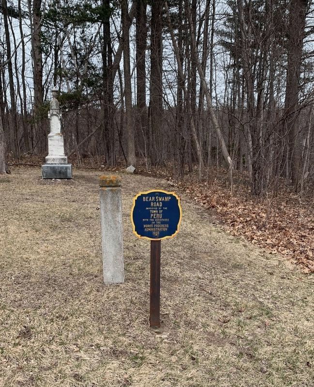
Photographed by Steve Stoessel, March 29, 2022
2. Bear Swamp Road Marker
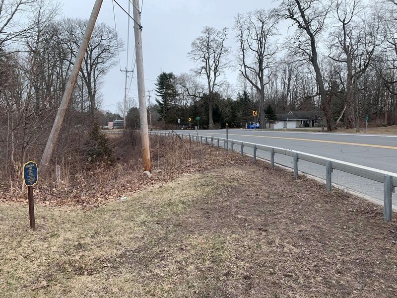
Photographed by Steve Stoessel, March 29, 2022
3. Bear Swamp Road
Credits. This page was last revised on April 1, 2022. It was originally submitted on March 28, 2022, by Steve Stoessel of Niskayuna, New York. This page has been viewed 311 times since then and 20 times this year. Photos: 1, 2, 3. submitted on March 28, 2022, by Steve Stoessel of Niskayuna, New York. • Michael Herrick was the editor who published this page.
