Lexington in Fayette County, Kentucky — The American South (East South Central)
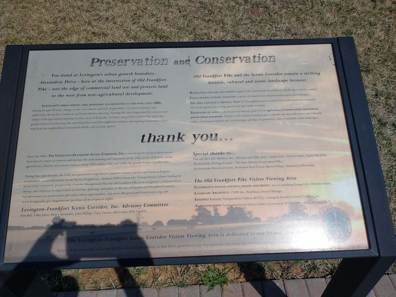
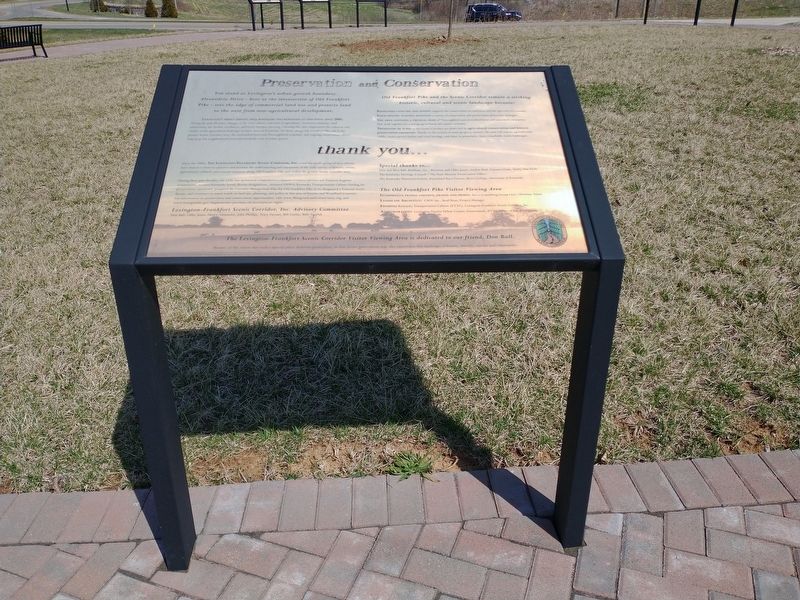
Preservation and Conservation
Lexington's Urban Service Area Boundary has remained at this point since 2001.
During the past 50 years, changes in the ways, places, and scale of agriculture, increased urbanism, land subdivision, the decline of tobacco, and fewer families choosing a farming life, have fragmented the cohesion and vitality of the agricultural landscape in many areas of Kentucky. Yet here, along Old Frankfort Pike and in the greater Scenic Corridor area, the entrenched farm and Thoroughbred economy, and ongoing conservation efforts, help keep this neighborhood rural and decidedly void of urban sprawl.
Old Frankfort Pike and the Scenic Corridor remain a striking historic, cultural and scenic landscape because:
Regulated land use and zoning supports the conservation of rural areas and the agricultural economy. Farm owners actively maintain a variety of conservation and preservation protection strategies. The area contains a critical mass of Thoroughbred and diversified farms and associated enterprises that work together for a strong agricultural and equine economy. Thousands of acres in the Scenic Corridor are protected by agricultural conservation and historic preservation easements. Thanks to the actions of many property owners, the area will remain agriculturally viable, retain natural habitat and rural heritage, and share in perpetuity, these remarkable scenic landscapes.
thank you...
Since the 1980s, The Lexington-Frankfort Scenic Corridor, Inc, a not-for-profit group of area citizens have shared a vision to conserve and increase the understanding and enjoyment of the wide variety of historic, scenic, agricultural, cultural, and natural resources along Old Frankfort Pike and within the greater Scenic Corridor area.
During these past decades, the LFSC has sponsored comprehensive historic resource surveys and National Register nominations, secured Kentucky Scenic Byway designations, obtained FHWA/Kentucky Transportation Cabinet funding for preservation easements, prepared the Corridor Management Plan for Old Frankfort Pike to be designated a National Scenic Byway, and continues to stand watch on land use, planning, and policy in this area of Fayette and Woodford Counties. For information on preservation and conservation opportunities, visit www.BluegrassLandConservancy.org, and www.lexingtonky.gov/departments/purchase-of-development-rights.
Lexington-Frankfort
Scenic Corridor, Inc. Advisory Committee
Don Ball, Libby Jones, Henry Alexander, John Phillips, Tracy Farmer, Bill Curlin, Billy VanPelt
Special thanks to...
Don and Mira Ball, Barkham, Inc., Brereton and Libby Jones, Airdrie Stud, Calumet Farm, Darby Dan Farm The Kentucky Heritage Council / The State Historic Preservation Office The Kentucky Historical Society, Keeneland Race Course, Berea College, University of Kentucky
The Old Frankfort Pike Visitor Viewing Area
Interpretive Panels: Content, Images and Design: Amos Consulting Group LLC, Christine Amos
Landscape Architect: CMW Inc., Brad Boaz, Project Manager
Funding: Kentucky Transportation Cabinet (KYTC), Lexington-Frankfort Scenic Corridor, Inc.
Administration: Lexington-Fayette Urban County Government, KYTC Office of Local Programs
The Lexington-Frankfort Scenic Corridor Visitor Viewing Area is dedicated to our friend, Don Ball.
Keeper of the vision that such a special place deserves protection, so that future generations may also experience this landscape of beauty, history, culture and community.
Topics. This historical marker is listed in these topic lists: Notable Places • Parks & Recreational Areas. A significant historical year for this entry is 2001.
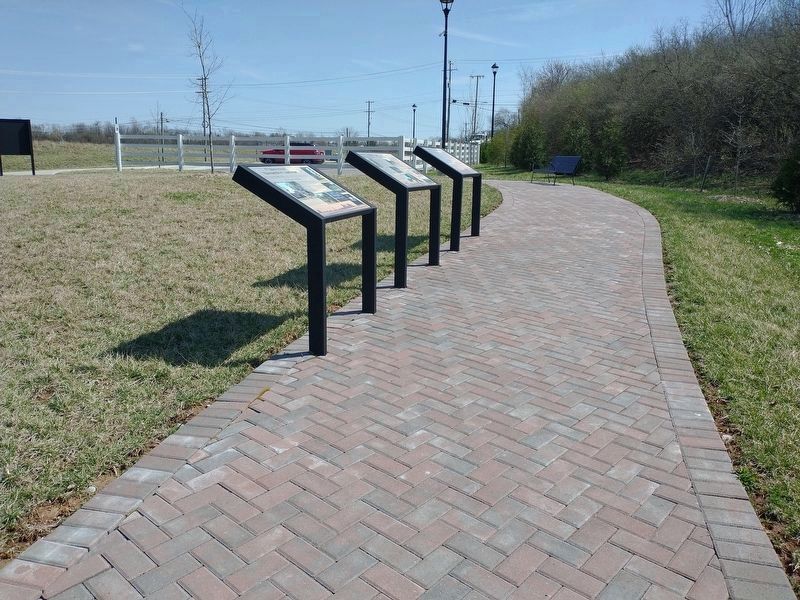
Location. 38° 4.116′ N, 84° 33.45′ W. Marker is in Lexington, Kentucky, in Fayette County. Marker is at the intersection of Old Frankfort Pike and Alexandria Drive, on the right when traveling east on Old Frankfort Pike. Located at the Old Frankfort Pike Scenic Overlook. Touch for map. Marker is at or near this postal address: 2450 Old Frankfort Pike, Lexington KY 40510, United States of America. Touch for directions.
Other nearby markers. At least 8 other markers are within walking distance of this marker. Woodburn (here, next to this marker); Calumet Farm (here, next to this marker); the International Thoroughbred Landscape (here, next to this marker); Gentlemen Farmers and Burley Tobacco (a few steps from this marker); Idle Hour Farm (a few steps from this marker); The West Fayette County (a few steps from this marker); Breed Only The Best (a few steps from this marker); Create An Agri-culture (a few steps from this marker). Touch for a list and map of all markers in Lexington.
Credits. This page was last revised on April 5, 2022. It was originally submitted on March 29, 2022, by Craig Doda of Napoleon, Ohio. This page has been viewed 69 times since then and 5 times this year. Photos: 1, 2, 3. submitted on March 29, 2022, by Craig Doda of Napoleon, Ohio. • Mark Hilton was the editor who published this page.
Editor’s want-list for this marker. Clear photo of marker. • Can you help?


