Lexington in Fayette County, Kentucky — The American South (East South Central)
Lexington-Frankfort Scenic Corridor Area
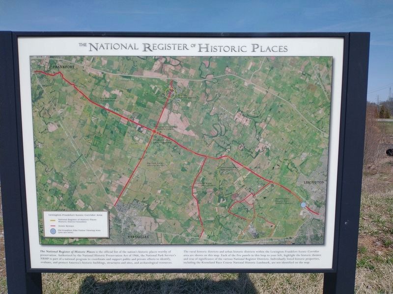
The National Register Of Historic Places
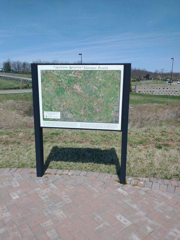
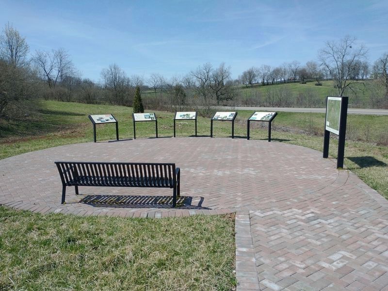
The rural historic districts and urban historic districts within the Lexington-Frankfort Scenic Corridor area are shown on this map. Each of the five panels in this loop to your left, highlight the historic themes and eras of significance of the various National Register Districts. Individually listed historic properties, including the Keeneland Race Course National Historic Landmark, are not identified on the map.
Topics. This historical marker is listed in this topic list: Notable Places. A significant historical year for this entry is 1966.
Location. 38° 4.123′ N, 84° 33.474′ W. Marker is in Lexington, Kentucky, in Fayette County. Marker is at the intersection of Old Frankfort Pike and Alexandria Drive, on the right when traveling east on Old Frankfort Pike. Touch for map. Marker is at or near this postal address: 2450 Old Frankfort Pike, Lexington KY 40510, United States of America. Touch for directions.
Other nearby markers. At least 8 other markers are within walking distance of this marker. Nugent's Crossroad - Midway - Wallace Station (here, next to this marker); Redd Road (here, next to this marker); The Big Sink (here, next to this marker); Pisgah (here, next to this marker); The West Fayette County (a few steps from this marker); Idle Hour Farm (a few steps from this marker); Gentlemen Farmers and Burley Tobacco (within shouting distance of this marker); Breed Only The Best (within shouting distance of this marker). Touch for a list and map of all markers in Lexington.
Credits. This page was last revised on March 30, 2022. It was originally submitted on March 29, 2022, by Craig Doda of Napoleon, Ohio. This page has been viewed 95 times since then and 11 times this year. Photos: 1, 2, 3. submitted on March 29, 2022, by Craig Doda of Napoleon, Ohio. • Mark Hilton was the editor who published this page.


