Cape Henry in Virginia Beach, Virginia — The American South (Mid-Atlantic)
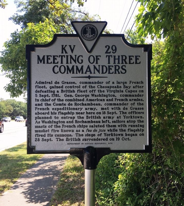
Meeting of Three Commanders
Photographed by Brandon D Cross, May 20, 2019
1. Meeting of Three Commanders Marker
Admiral de Grasse, commander of a large French fleet, gained control of the Chesapeake Bay after defeating a British fleet off the Virginia Capes on 5 Sept. 1781. Gen. George Washington, commander in chief of the combined American and French armies, and the Comte de Rochambeau, commander of the French expeditionary army, met with de Grasse aboard his flagship near here on 18 Sept. The officers planned to entrap the British army at Yorktown. As Washington and Rochambeau left, sailors atop the masts of the French ships saluted them with running musket fire known as a feu de joie while the flagship fired its cannons. The siege of Yorktown began on 28 Sept. The British surrendered on 19 Oct.
Erected 2019 by Virginia Department of Historic Resources. (Marker Number KV-29.)
Topics and series. This historical marker is listed in these topic lists: War, US Revolutionary • Waterways & Vessels. In addition, it is included in the Virginia Department of Historic Resources (DHR) series list. A significant historical date for this entry is September 5, 1781.
Location. 36° 54.588′ N, 76° 4.795′ W. Marker is in Virginia Beach, Virginia. It
this page online

Regionally, this marker is in Hampton Roads, specifically in Coastal Virginia, and in the Hampton Roads Metropolitan Area. It is also in the American South, specifically in the Upper South, in the Tidewater, and on the Eastern Seaboard. Globally, it is in the North Atlantic Region, North America, the Western Hemisphere, the Western World, and the Anglosphere. Historically, it finds itself in what was once the territory of the Mississippian Culture, one of the original Thirteen Colonies, one of the Confederate States of America, and the Antebellum South.
Other nearby markers. At least 8 other markers are within 2 miles of this marker, measured as the crow flies: The Canoes, 2018 (approx. 0.8 miles away); Battle of the Capes, September 5, 1781 (approx. one mile away); The Oyster Barge (approx. one mile away); Fisheries / Blue Crab (approx. one
Photographed by Brandon D Cross, May 20, 2019
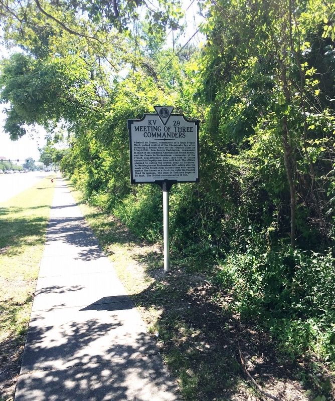
2. Meeting of Three Commanders Marker
Also see . . . Historic marker dedication ceremony attracts a small crowd. DVIDS website entry (Submitted on June 16, 2023, by Larry Gertner of New York, New York.)
via DVIDS, 2019
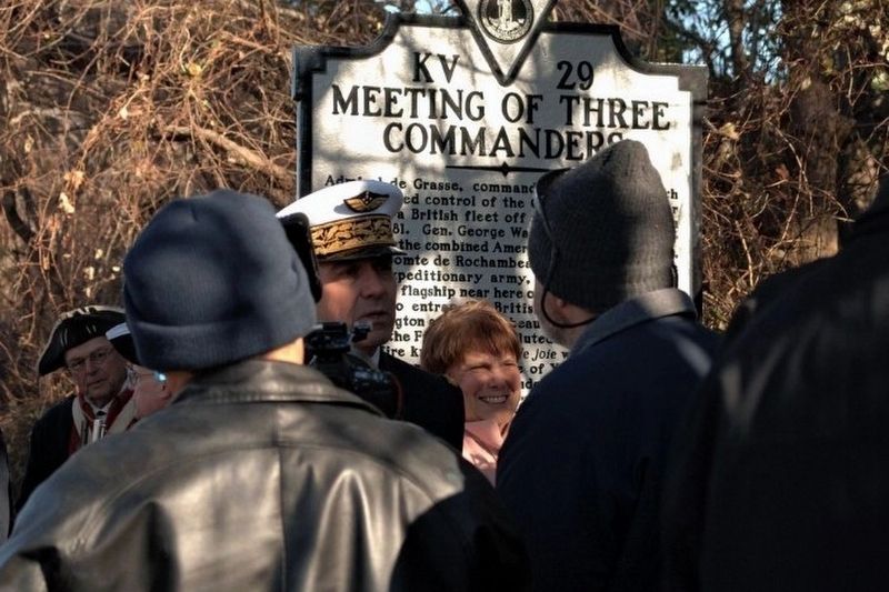
3. The Meeting of Three Commanders state historical marker is unveiled to the public
The historic marker commemorates the meeting of three commanders on September 5, 1781 during the Revolutionary War.
Photo by Max Lonzanida, Naval History and Heritage Command
Photo by Max Lonzanida, Naval History and Heritage Command
1931
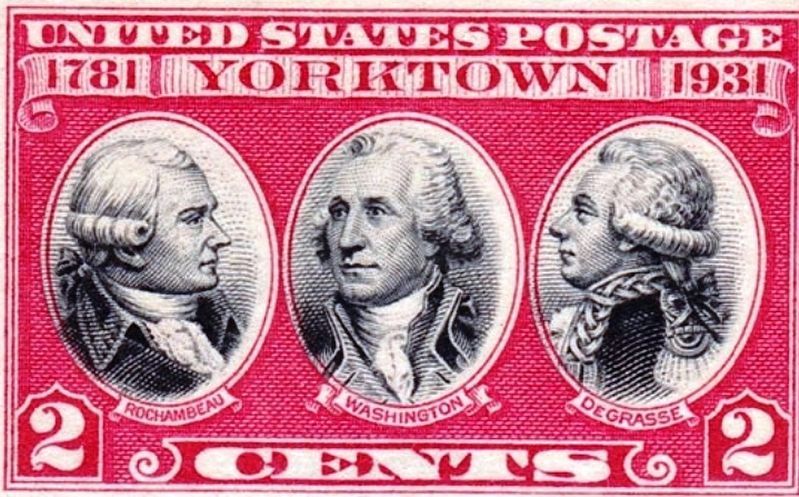
4. Three Commanders Postage Stamp
Credits. This page was last revised on June 16, 2023. It was originally submitted on May 24, 2019, by Brandon D Cross of Flagler Beach, Florida. This page has been viewed 2,327 times since then and 166 times this year. Last updated on March 30, 2022, by Carl Gordon Moore Jr. of North East, Maryland. Photos: 1, 2. submitted on May 24, 2019, by Brandon D Cross of Flagler Beach, Florida. 3. submitted on June 16, 2023, by Larry Gertner of New York, New York. 4. submitted on May 24, 2019, by Brandon D Cross of Flagler Beach, Florida. • Devry Becker Jones was the editor who published this page.
