Jamestown in James City County, Virginia — The American South (Mid-Atlantic)
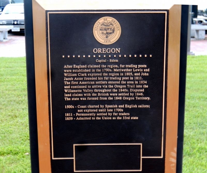
Oregon
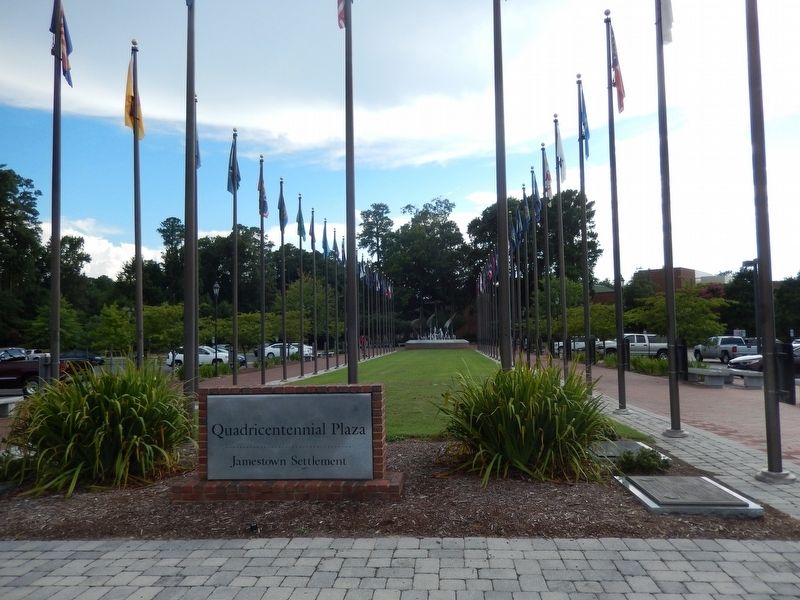
Quadricentennial Plaza
| — | Jamestown Settlement | — |
Photographed by Don Morfe, August 17, 2016
1. Oregon Marker
After England claimed the region, fur trading posts were established in the 1790s. Meriwether Lewis and William Clark explored the region in 1805, and John Jacob Astor founded his fur trading post in 1811. The first American settlers entered the area in 1834 and continued to arrive via the Oregon Trail into the Willamette Valley throughout the 1840s. Disputed land claims with the British were settled by 1846. The state was formed from the 1848 Oregon Territory.
1500s-Coast charted by Spanish and English sailors; not explored until late 1700s
1811-Permanently settled by fur traders
1859-Admitted to the Union as the 33rd state
Topics. This historical marker is listed in these topic lists: Colonial Era • Exploration • Settlements & Settlers. A significant historical year for this entry is 1805.
Location. 37° 13.553′ N, 76° 46.976′ W. Marker is in Jamestown, Virginia, in James City County. It is on Jamestown Road. The marker is near the Jamestown Settlement Visitor Center. Touch for map. Marker is at or near this postal address: 2110 Jamestown Road, Williamsburg VA 23185, United States of America.
this page online

Regionally, this marker is on Virginia’s Peninsula, in Coastal Virginia, and in the Hampton Roads Metropolitan Area. It is also in the American South, specifically in the Upper South, in the Tidewater, and on the Eastern Seaboard. Globally, it is in the North Atlantic Region, North America, the Western Hemisphere, the Western World, and the Anglosphere. Historically, it finds itself in what was once the territory of the Mississippian Culture, one of the original Thirteen Colonies, one of the Confederate States of America, and the Antebellum South.
Other nearby markers. At least 8 other markers are within walking distance of this marker: Minnesota (here, next to this marker); Kansas (here, next to this marker); West Virginia (here, next to this marker); California (here, next to this marker); Wisconsin (a few steps from this marker); Iowa (a few steps from this marker); Nebraska (a few steps from this marker); Indiana (a few steps from this marker). Touch for a list and map of all markers in Jamestown.
Photographed by Don Morfe, August 17, 2016
2. Quadricentennial Plaza-North
Photographed by Don Morfe, August 17, 2016
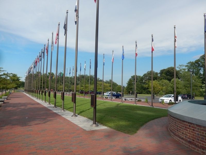
3. Quadricentennial Plaza-South
Photographed by Don Morfe, August 17, 2016
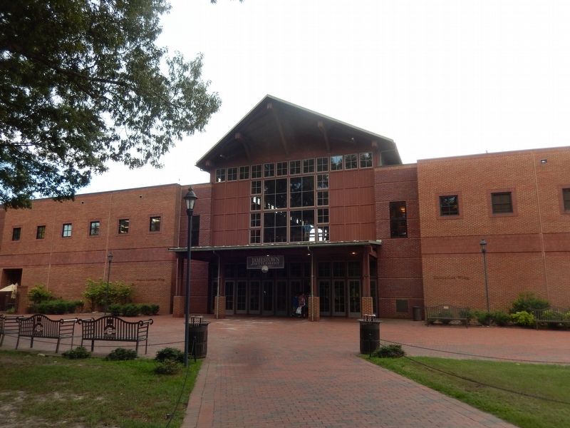
4. Jamestown Settlement Visitor Center
Credits. This page was last revised on April 4, 2022. It was originally submitted on September 4, 2016, by Don Morfe of Baltimore, Maryland. This page has been viewed 578 times since then and 29 times this year. Last updated on March 30, 2022, by Carl Gordon Moore Jr. of North East, Maryland. Photos: 1, 2, 3, 4. submitted on September 4, 2016, by Don Morfe of Baltimore, Maryland. • Bernard Fisher was the editor who published this page.
