Sioux Falls in Minnehaha County, South Dakota — The American Midwest (Upper Plains)
Amidon Graves Mystery
March 26, 2022
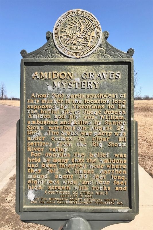
1. Amidon Graves Mystery Marker
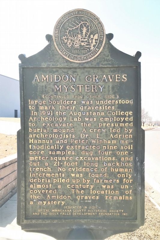
For decades the belief was held by many that the Amidons had been interred near where they fell. A linear earthen mound, about 30 feet long, eight feet wide, and four feet high, strewn with rocks and large boulders, was understood to mark their gravesites.
In 1991 the Augustana College Archeology Lab was employed to excavate the presumed burial mound. A crew led by archeologists Dr. L. Adrien Hannus and Peter Winham methodically extracted nine soil core samples, dug four one-meter square excavations, and cut a 21-foot long backhoe trench. No evidence of human interments was found; only debris piled up by farmers for almost a century was uncovered. The location of the Amidon graves remains a mystery.
Erected 2001 by the Minnehaha County Historical Society and the Sioux Falls Development Foundation Inc.
Topics. This historical marker is listed in these topic lists: Anthropology & Archaeology • Cemeteries & Burial Sites. A significant historical date for this entry is August 25, 1862.
Location. 43° 34.537′ N, 96° 42.793′ W. Marker is in Sioux Falls, South Dakota, in Minnehaha County. It is on East Amidon Street 0.1 miles west of North Cliff Avenue, on the right when traveling east. Touch for map. Marker is at or near this postal address: 1009 E Amidon St, Sioux Falls SD 57104, United States of America. Touch for directions.

Regionally, this marker is in East River. It is also in the American Midwest, in the Lewis & Clark Corridor, in the Corn Belt, on the prairies, and on the Northern Plains. Globally,
this page online
Other nearby markers. At least 8 other markers are within 2 miles of this marker, measured as the crow flies: The Dakota War of 1862 (about 600 feet away, measured in a direct line); Memorial to the Pioneers of Minnehaha County (about 600 feet away); The Amidon Affair (about 700 feet away); Magma (approx. half a mile away); Albert M. Mansor (approx. 0.8 miles away); First Concrete State Highway (approx. 0.8 miles away); Frederick Manfred’s “Siouxland” (approx. 1.2 miles away); The Dubuque House (approx. 1.2 miles away). Touch for a list and map of all markers in Sioux Falls.
March 26, 2022
2. Amidon Graves Mystery Marker
March 26, 2022
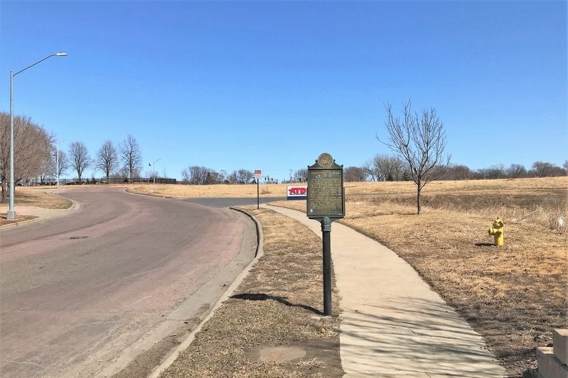
3. Amidon Graves Mystery Marker, from the west
March 26, 2022
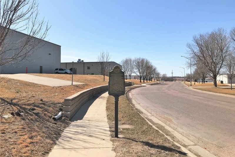
4. Amidon Graves Mystery Marker, from the east
Credits. This page was last revised on March 31, 2022. It was originally submitted on March 30, 2022. This page has been viewed 1,049 times since then and 75 times this year. Photos: 1, 2, 3, 4. submitted on March 30, 2022.
